May 15, 2021
In
Outdoor Edventures
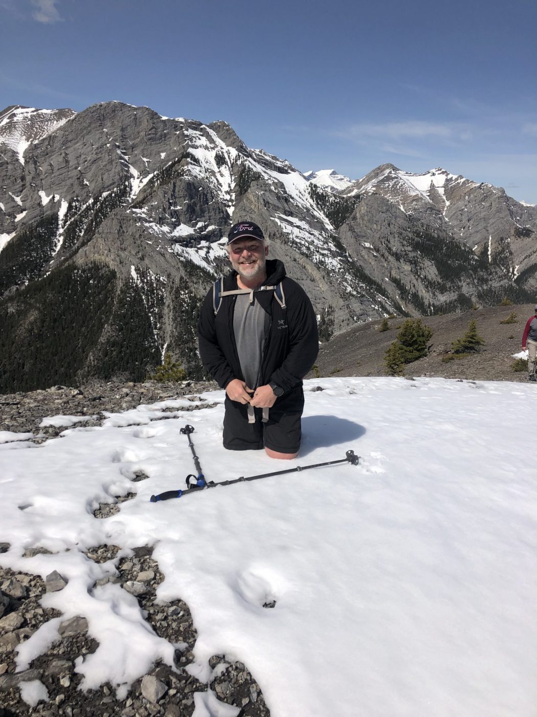
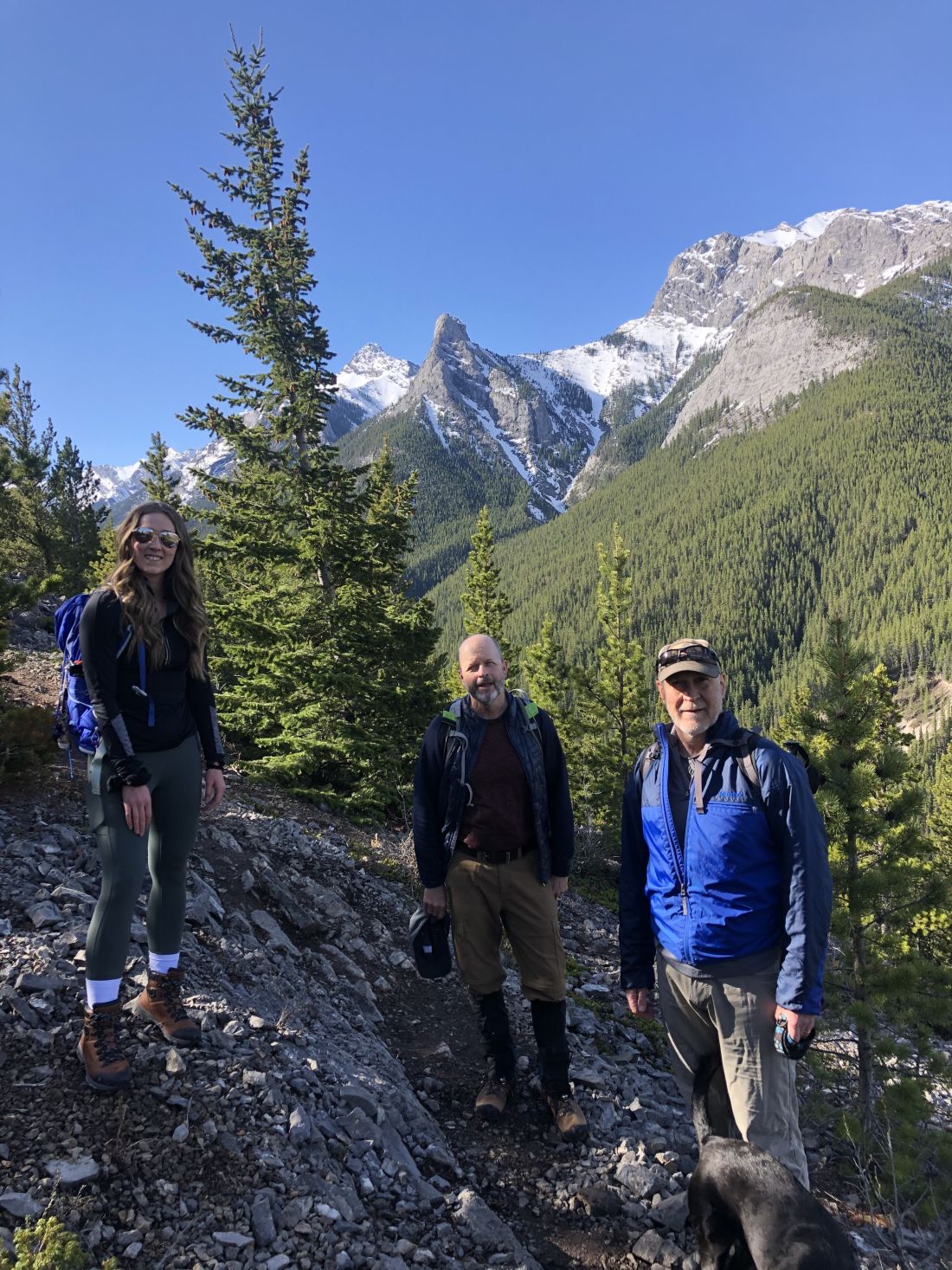
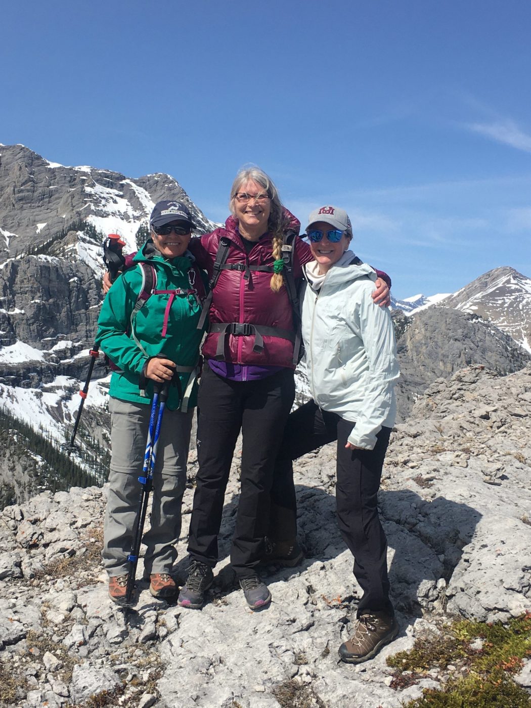
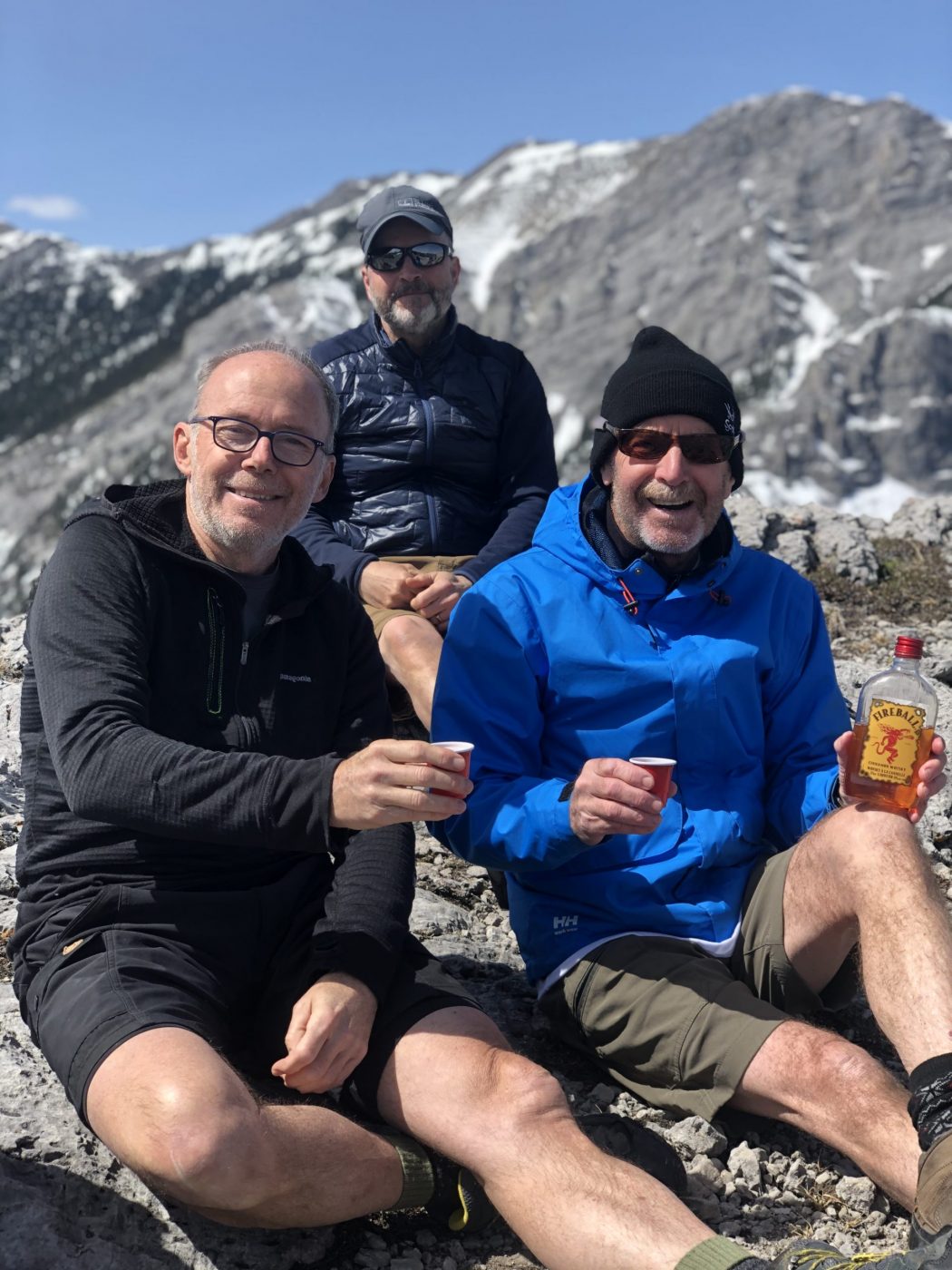
Wasootch Ridge Hike
Where:
- Wasootch Ridge
When:
- May 15, 2021
Who:
- Ed, Craig, Erin, Tomonori, Oak —– Brenda, Mike, Angela, Katie, Peter, Lisa, Rod, Bauer
Trailhead:
- the trailhead is 17 km south of Highway 1 on Highway 40
- the parking lot is on the left (east) side of the road about a half km off the highway
- the trailhead starts out of the north side of the parking lot by the picnic table

Degree of difficulty:
- 1000 meters of elevation gain and 14 km distance if you get all the way to the final ridge
- we did just under 900 meters and just under 11 km
- the trail is very steep and rugged at the start for about 10 minutes, so it’s best to take your time up this section
- after that, it involves numerous short to medium climbs over about thirteen different knolls/ridges
- as you approach the end of the trail near the summit, there are some challenging rock faces to scramble over that I would only recommend for very experienced hikers who are not afraid of heights
- the hike took us 4.5 hours, as we didn’t ascend the final three ridges due to the snow cover
Interesting notes:
- one of my favorite trails as you very quickly climb to 360-degree views of all the fantastic mountains in the area
- one side of the ridge (north) is bordered by Porcupine Creek and the other side (south) by Wasootch Creek
- there are beautiful views of Mount McDougall, Mount Bryant, Mount Baldy, Boundary Ridge, Mount Allan, Mount Collembola, and Mount Lorette
- some of the trees on the ridge are more artistic than any other hike I have been on from the exposed wind on the ridge (it’s like being in a tree art gallery)
- the name ‘Wasootch’ originates from the Stoney Indian language which translates to ‘unique’