May 9, 2026
In
Outdoor Edventures
Baldy Pass Hike
Where:
- Baldy Pass
When:
- May 9, 2026
Who:
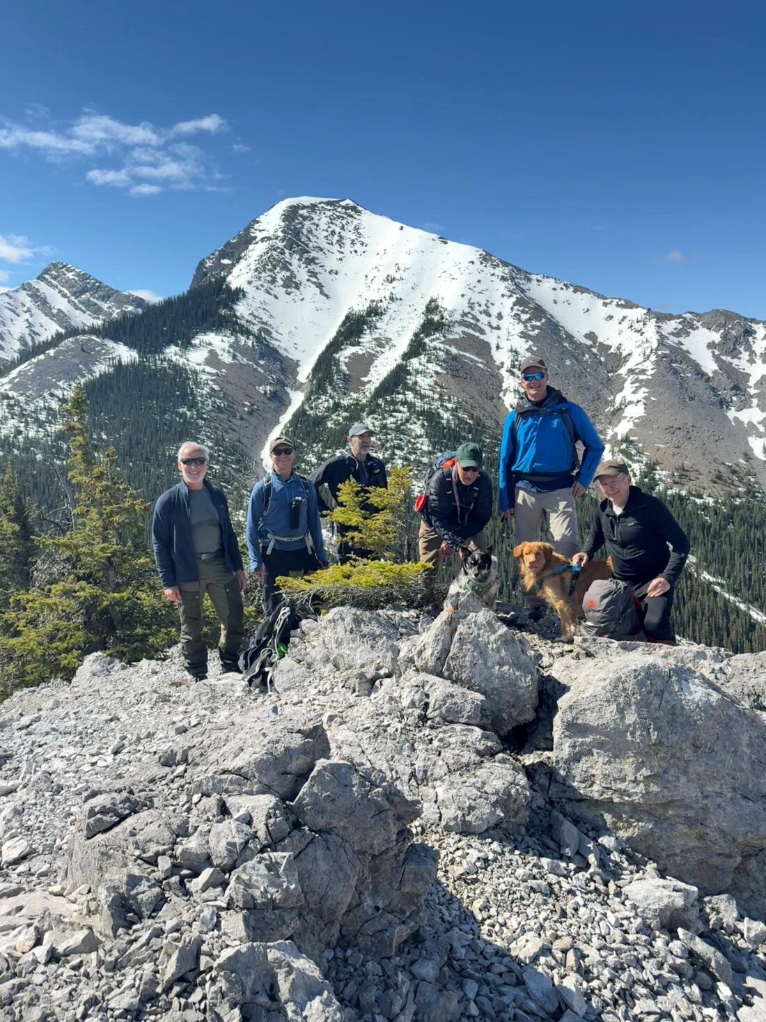
- Ed, Reggie, Dave, Neil, Erin, Rod, Dally, Peter, Roger
Trailhead:
- heading west from Calgary, take Highway 40 south
- follow 40 south for 14.2 km, and the Baldy Pass parking lot is on the right (west) side of the road
- from the parking lot, the trailhead is across the highway and slightly to the right
Degree of difficulty:
- 565 meters elevation to about halfway up the ridge towards Baldy Peak South
- 10 km round trip
- 3.5 hours total time on the trail
- the trail starts on a broad trail through the forest along a moderately graded trail
- after 800 meters of walking, take the left fork towards Baldy Pass
- at Baldy Pass turn left to start up towards South Baldy Peak (turning right takes you up to Midnight Peak)
Interesting notes:
- we stopped just short of a scramble section that might have been tough to get Reggie and Dally through
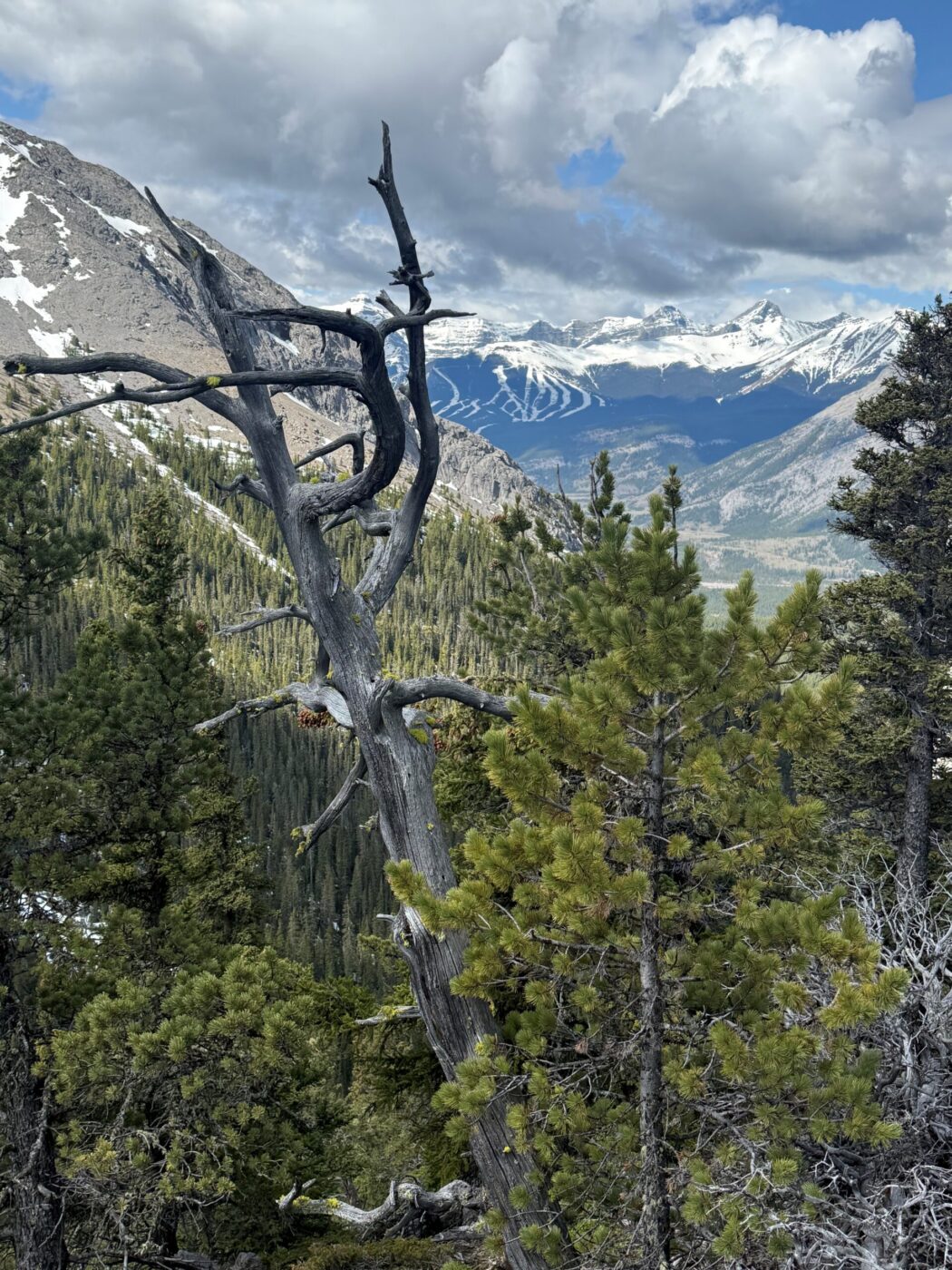
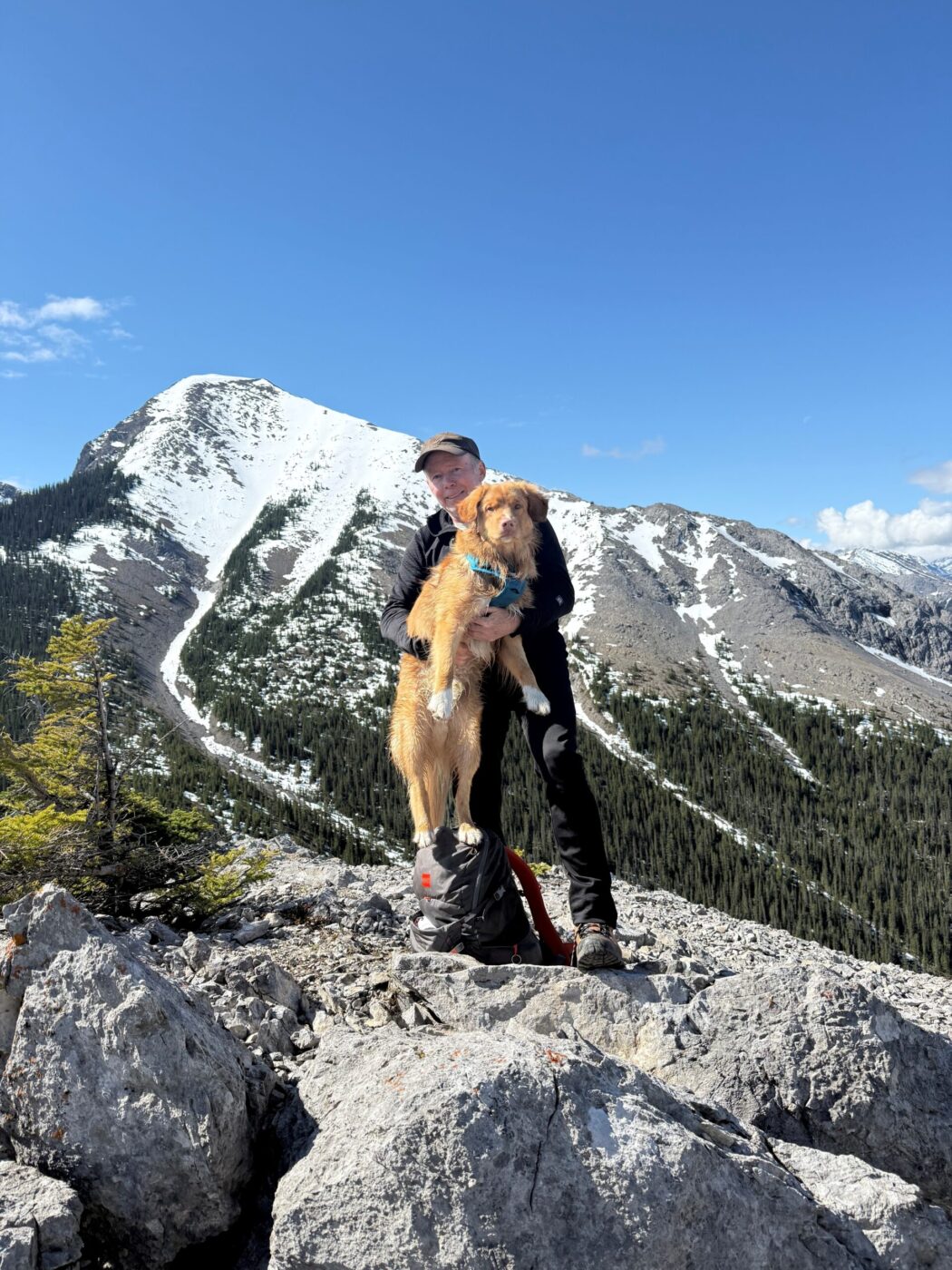
- the trail offers panoramic views of Midnight Peak, Wasootch Peak, Mount Kidd, Nakiska, Mount Allan, Mount Collembola, Mount Lorette, and Barrier Lake
- this trail continues on to the three peaks of Mt. Baldy
- during World War 2, prisoners in a nearby internment camp were occasionally permitted to make the ascent of Mt. Baldy as long as they promised to return
- up until 1984, when it was given its current official name, it was commonly referred to as Barrier Mountain due to its proximity to Barrier Lake