July 4, 2020
In
Outdoor Edventures
Sparrowhawk Tarns Hike
Where:
- Sparrowhawk Tarns
When:
- July 4, 2020
Who:
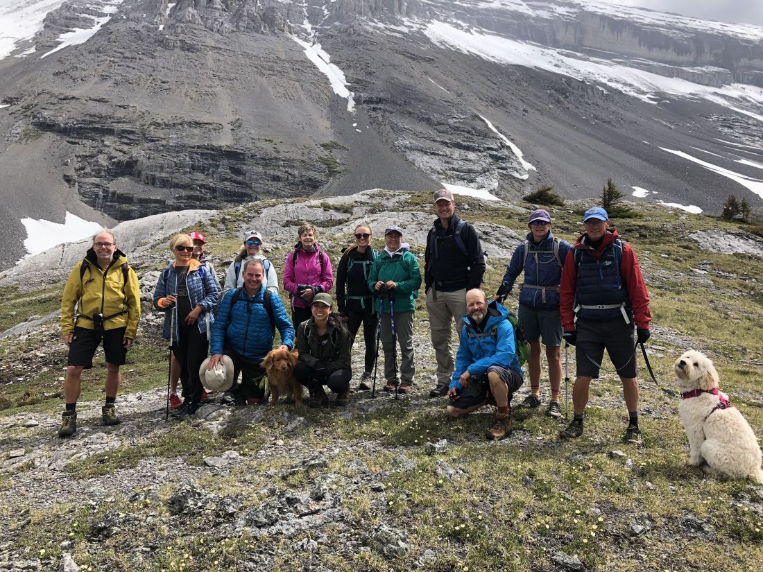
- Ed, Jace, Geoff, Lynn, Bailey, Craig, Brandi, Darcy, Joey, Dave, Lorna, Peter, Lisa, Rachel, Brenda, Keri
Trailhead:
- the trailhead is on the Spray Lakes Road and is 23 km south of Canmore
- the trailhead is not marked, and the trail starts on the east side of the road across from the entrance to the Sparrowhawk Day Use Area
- the faint trail angles 45 degrees to the right across an embankment into the trees
Degree of difficulty:
- 600 meters of elevation gain and 11 km distance if you go to the middle of the tarns valley
- the new trail starts with a gentler climb than the old one as they carved a new trail to allow the bikers to access the High Rockies trail
- after a short distance, the trail crosses the High Rockies biking trail so be careful to continue straight up the valley
- a little further along there are markings (.9 km into the hike) where you turn to the right as the straight-ahead trail leads up to Read’s Ridge and Tower
- after the initial climb, the trail rolls through the trees with the creek on the right at times until you come to a vast open rock area
- as you exit the trees, there are trails on the far right (our typical route) or the far left (not recommended) that both take about a half-hour to get up to the upper cirque
- be careful with your footing walking up this rock field
- the hike took us 3.5 hours, and we moved at a fairly leisurely pace
Interesting notes:
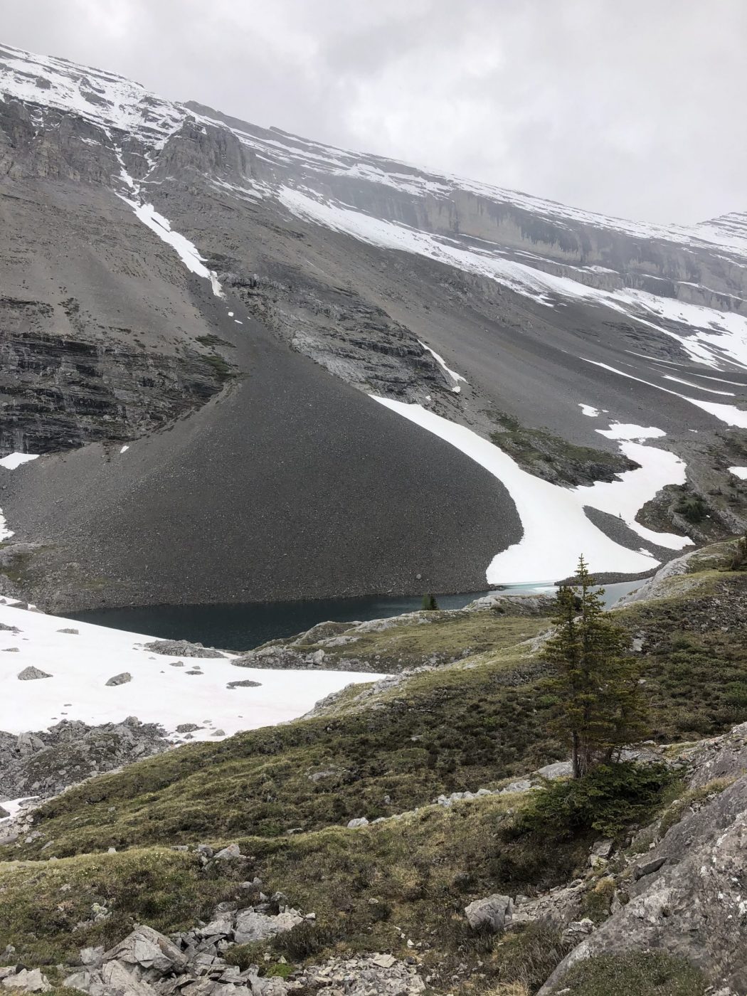
- the hike is very scenic once you exit the trees and enter the upper valley where marmots abound in the beautiful rock field along with numerous spring flowers
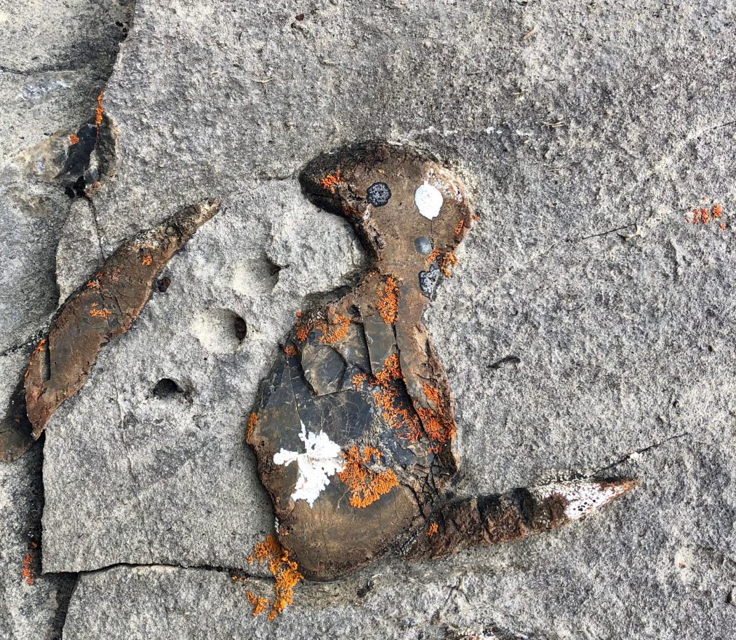
- there are also some interesting rocks with lichen and other features that we were not able to discern
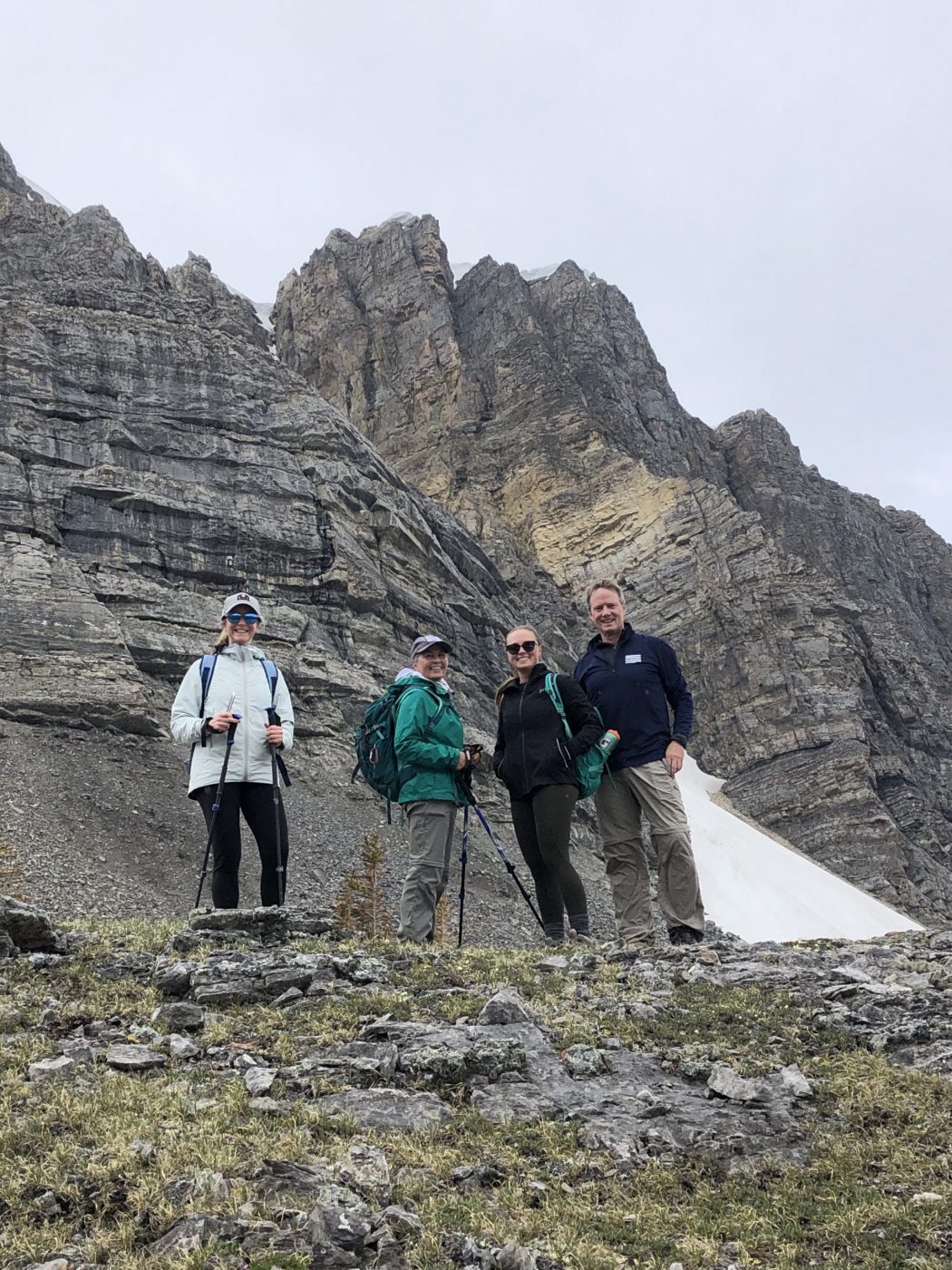
- the area is flanked by Mount Sparrowhawk, Read’s Ridge, Red Mountain, Mount Bogart, and Mount Buller
- at the top of the valley, you can look back for a picturesque view of Spray Lakes and Mount Nestor across the valley
- the tarns in the upper valley will vary in the amount of water depending on the season (we saw an iceberg floating in one of them)
- during the second half of September, you can observe the larch trees changing color on this trail, and it’s less crowded than the trails in the Lake Louise area
- Sparrowhawk Mountain was in the running for the site of the 1988 Winter Olympics ski venue
- the mountain was named in 1917 for HMS Sparrowhawk a British destroyer that sank in WW1 during the Battle of Jutland
- this trail is also used to access Read’s Ridge and Read’s Tower