November 15, 2025
In
Outdoor Edventures
Prairie Mountain Hike
Where:
- Prairie Mountain
When:
- November 15, 2025
Who:
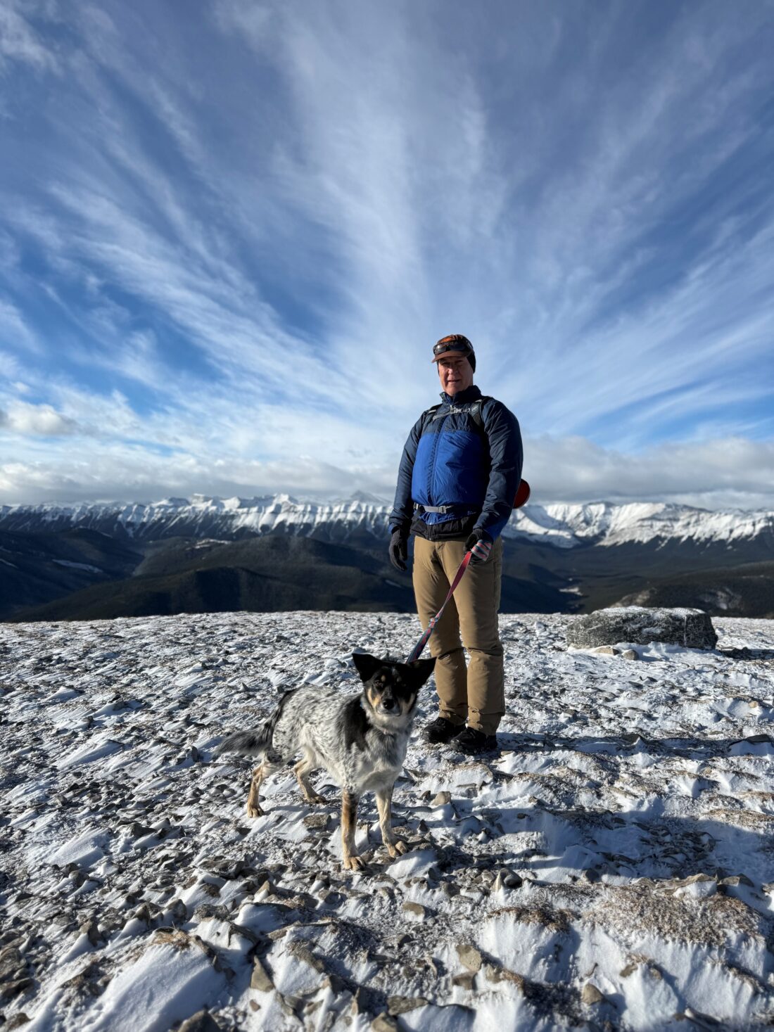
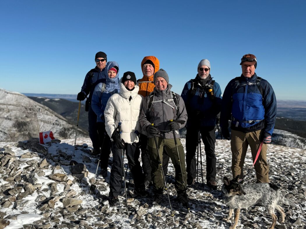
- Ed, Dave, Rod, Dally, Mike, Brenda, Neil, Dave, Janet
Trailhead:
- from Bragg Creek, head south on Highway 22, then turn right onto Highway 66 for about 20 km to park on the right hand side of the road or on the left hand side at the Elbow Falls parking lot
- the trailhead starts up the north side of the road and is very easy to follow

Degree of difficulty:
- 725 meters elevation
- 8 km return
- the hike took us 3 hours
- the ‘new’ trail climbs all the way from the road to the top, but at a reasonable grade as opposed to the ‘old’ one, which apparently was a straight up grunt to the summit
Interesting notes:
- there are sweeping views all the way back to Calgary to the east, to Moose Mountain to the north, and Nihahi Ridge and Banded Peak to the west, and numerous other peaks in the Kananaskis range
- Prairie Mountain is likely named after its grass summit, which resembles a prairie and the expansive panoramic views from the top that include the flat, checkered plains to the east
- this is a very popular hike, and there were about 70 people on the trail
