September 6, 2025
In
Outdoor Edventures
Powderface Ridge
Where:
- Powderface Ridge
When:
- September 6, 2025
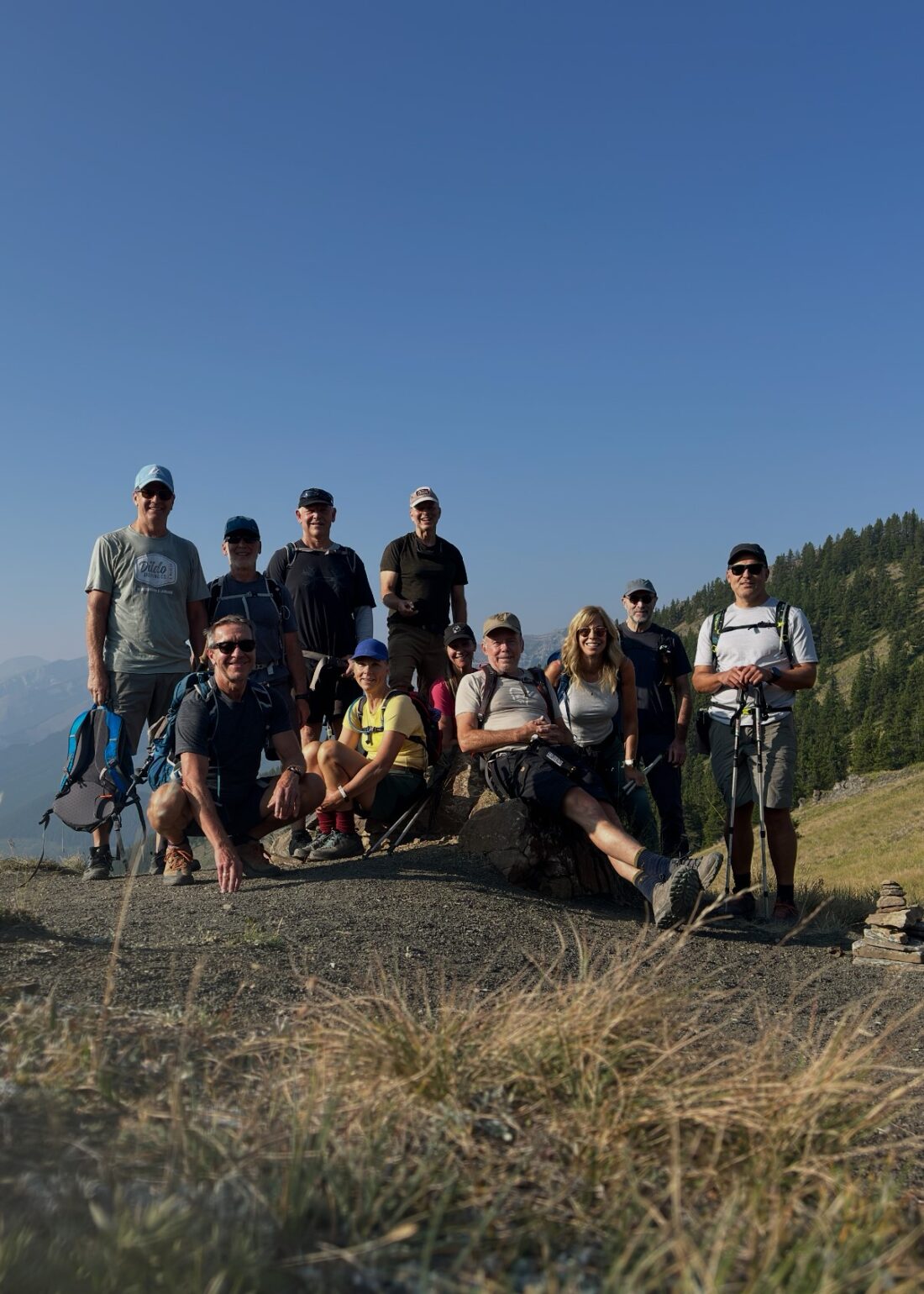
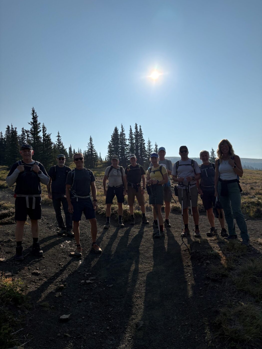
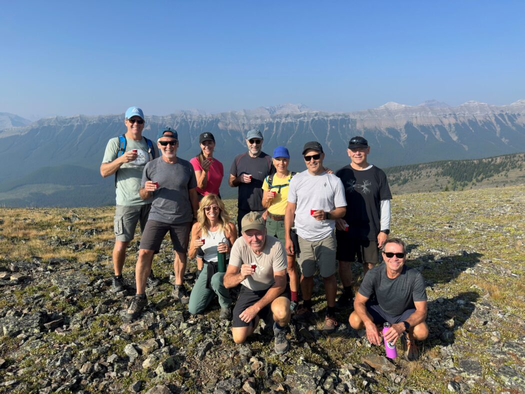
Who:
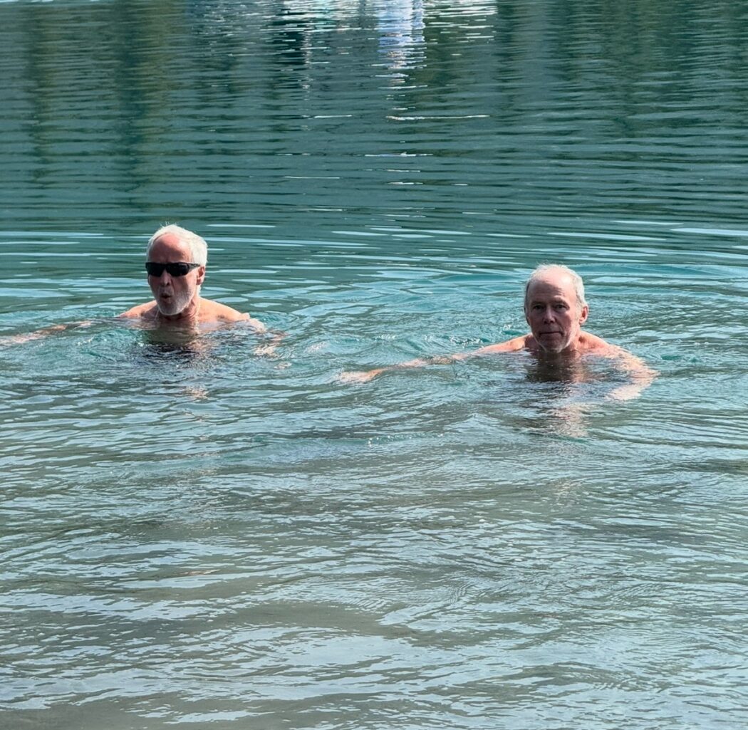
- Ed, Craig, Dave, Neil, Kardy, Erin, Dave, Janet, Roger, Carolyn, Kirk
Trailhead:
- from Bragg Creek take Highway 66 west to the end of the road, where it intersects with Powderface Trail
- park your vehicle on the side of the road
- from here you carpool 7 km up the Powderface Road to the trailhead on the right (east) side of the road
Degree of difficulty:
- 10 km
- 560 meters of elevation (saves 150 meters vs. starting at the south end)
- the trail starts through a forest of lodgepole pine and then begins to climb moderately
- after an hour, you break out into an open pass, and at the four way junction, keep right to ascend the ridge
- keep an eye out for two long poles that mark where the trail descends from the wind scoured crest
- the final 1.5 km plunges relentlessly down a rocky, forested slope until you emerge onto Highway 66
- the hike took us just over three hours
Interesting notes:
- Powderface Ridge is named after Tom Powderface, a Stoney Indian who resided in the Bragg Creek area
- the ridge offers some of the best panoramic views of the East edge of the Rockies range, and in particular, the serrated crest of Nihanni Ridge
- other views include Banded Peak, Mt. Cornwall, and Mt. Glasgow to the south and Moose Mountain to the north
- the road is closed Dec 1 – May 14