March 18, 2023
In
Outdoor Edventures
Porcupine Ridge Hike
Where:
- Porcupine Ridge
When:
- March 13, 2023
Who:
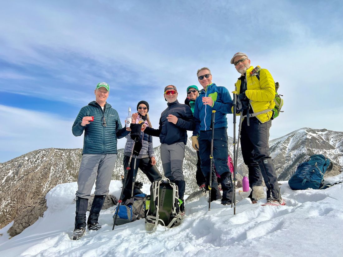
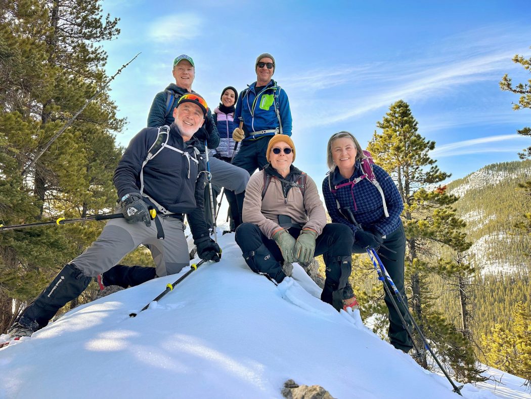
- Ed, Dave, Craig, Lisa, Peter, Erin, Roger
Trailhead:
- the trailhead is 15 km south of Highway 1 on Highway 40
- you can either park in the ditch on the left-hand side of the road before the creek or on the right-hand side of the road
- the trailhead starts out along the north (left) side of Porcupine Creek
- when you come to the bridge, you can go along the left side of the creek or cross the bridge and up the right side of the creek
- both sides present different challenges depending on the water level as we had to do three creek crossings (six counting the return journey) on rocks and logs
- after a flat walk and just past the climber’s cliffs where the creek splits, you climb the mountain between the two creeks
- look for pink ribbons as the trail can be hard to follow until your break out onto the ridge
Degree of difficulty:
- 700 meters of elevation to Porcupine Ridge but we only went 550 meters
- 7 km out and back to the final ridge before you ascend to Porcupine Ridge
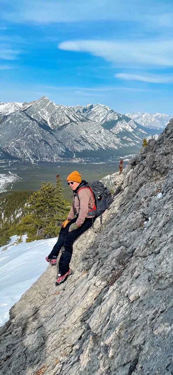
- steep incline once you leave the creekbed and some scrambling, especially on the upper section
- there are some slabby sections just above the creek and near the summit, but they are manageable, and the trail is well defined
- on this day, we encountered some deep snow that slowed our progress and cut the trip a bit short of Porcupine Ridge
- the hike took us four hours
Interesting notes:
- we celebrated Roger’s 60th birthday with some Skrewball Whiskey in Oak’s ‘fireball whiskey’ absence
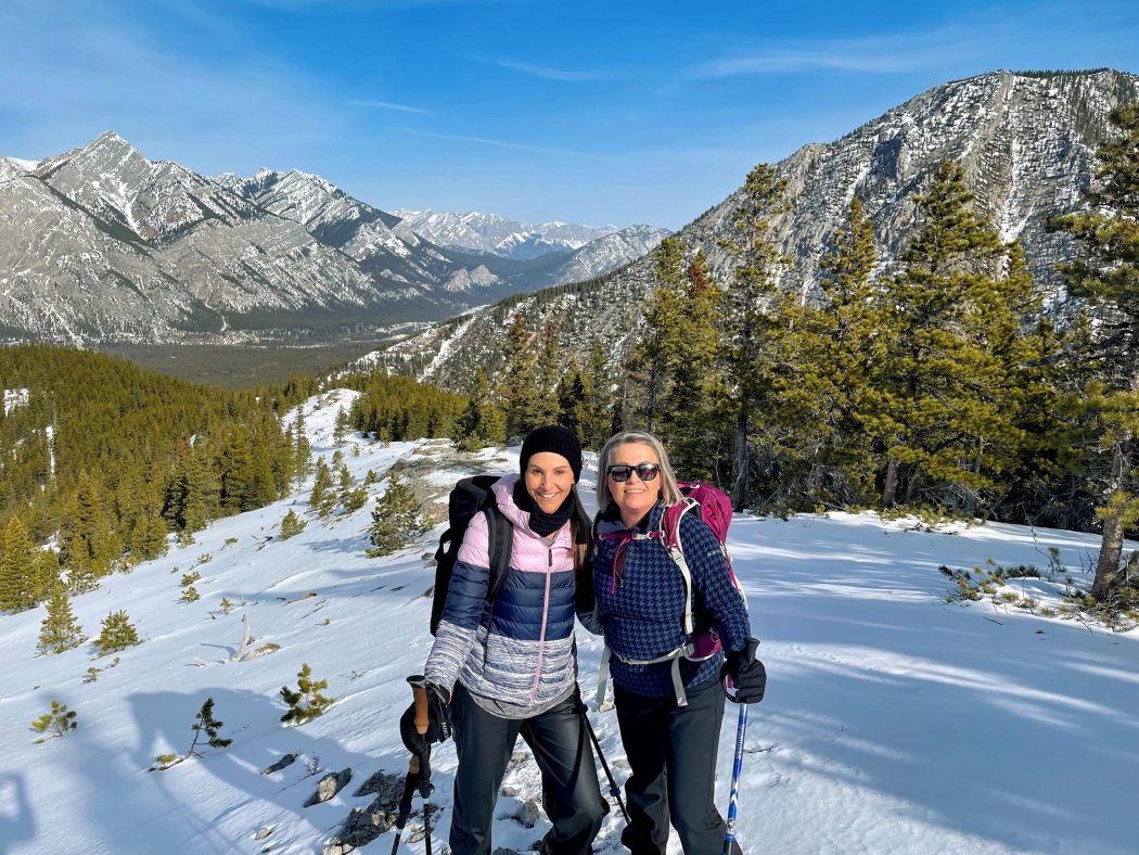
- the views are limited while you climb through the forest, but then you break out to panoramic 360-degree vistas
- one side of the ridge (south) is bordered by Wasootch Creek and the other side (north) by Midnight Peak and the Mount Baldy range
- there are beautiful views of Mount McDougall, Mount Bryant, Mount Baldy, Boundary Ridge, Mount Allan, Mount Collembola, Midnight Peak and Mount Lorette
- Porcupine Ridge is presumably named for the shape of the three peaks at the summit