October 14, 2025
In
Outdoor Edventures
Mount Tyrwitt Hike
Where:
- Mount Tyrwitt
When:
- October 14, 2025
Who:
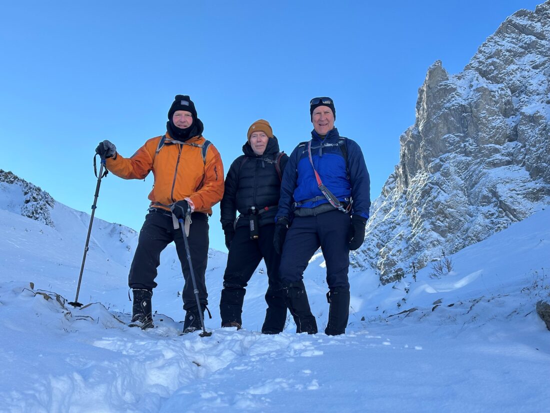
- Ed, Craig, Kardy, Rod, Dally
Trailhead:
- an hour and a half drive from Calgary (142 km)
- heading south on Highway 40 for 67 km (50 minutes), the Highwood Pass parking lot is on the right-hand side of the road at the summit
- the trailhead starts out of the north end of the parking lot
Degree of difficulty:
- 850 meters elevation
- 9.5 km round trip
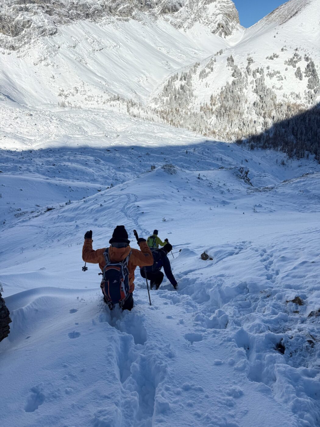
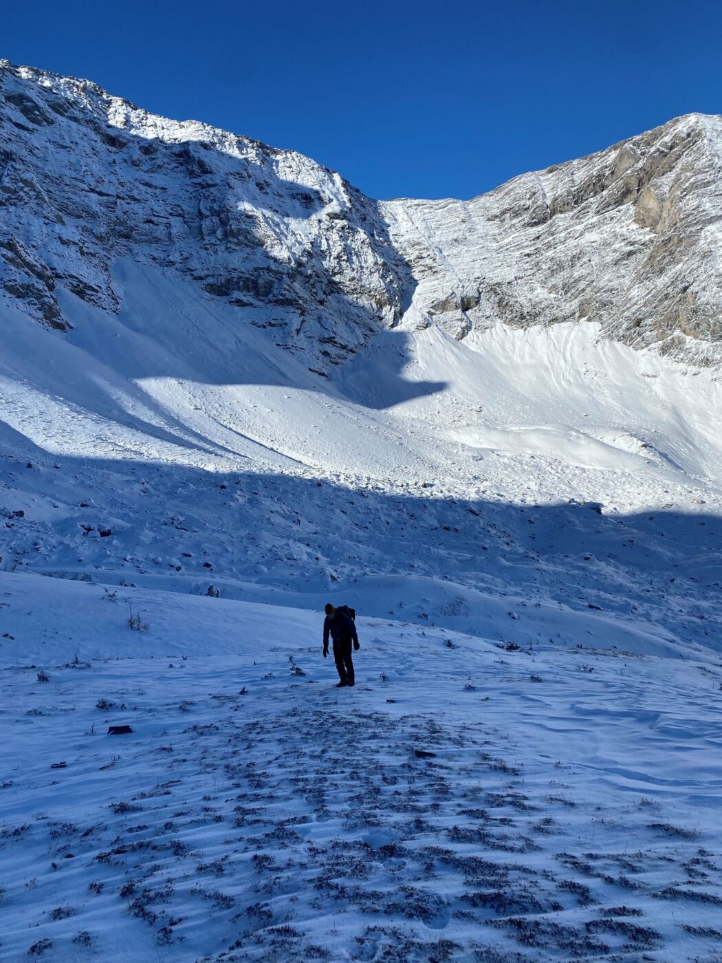
- we only did 6 km and 300 meters of elevation, as the climb from the cirque to the saddle went through an avalanche slide area, so we had to abort and put this back on the list of new hikes for next summer
- the hike took us just over two and a half hours
- the first 2 km are moderate in elevation, but it has some tricky footing through the forest, especially with the slippery snow
- after the forest, you pass through a meadow of larch trees, then take the left fork, and it starts to climb up steeply to the pass (turning right takes you up Pocaterra Ridge)
- from the pass, it’s a steep climb on some loose shale to the arch and summit
- it’s 4 km to the col/saddle and another km to Mount Tyrwitt
Interesting notes:
- we started off from an empty parking lot (larch season was behind us) at -15C, but warmed up quite quickly and were blocked from the wind, which made it bearable
- the hole in the rock on Mount Tyrwitt is a very cool and unique geological feature
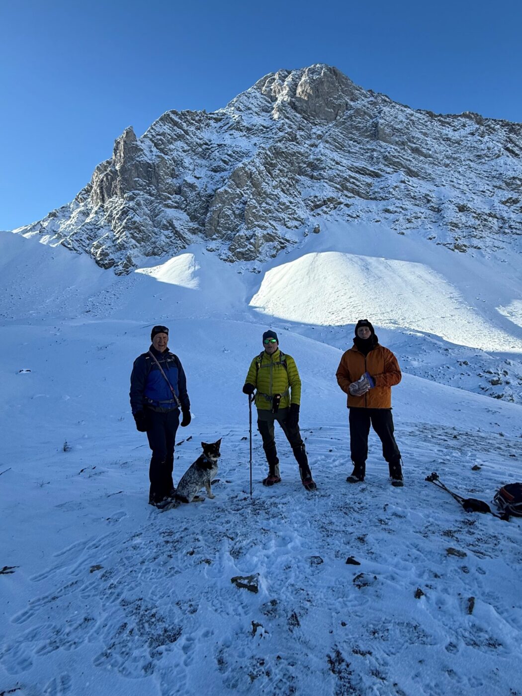
- the trail offers views of Elk Range, which is the border between Alberta and B.C., and the Pocaterra range
- the col is the gap between Mount Tyrwhitt and Grizzly Ridge