April 28, 2021
In
Outdoor Edventures
Mount Boucherie Hike
Where:
- Mount Boucherie
When:
- April 27, 2021
Who:
- Ed, Jace
Trailhead:
- from downtown Kelowna, head south on Highway 97, turn left (south) onto Bartley Road, which turns into East Boundary Road
- follow the signs for 1.5 km, and you will see a small parking area on your left (you can park along the road across the street)
- there are three trails from the parking lot so take the Boucherie Rush Trail
Degree of difficulty:
- 300 meters of elevation gain
- 5.6 km out and back
- the hike took 40 minutes to the top and 25 minutes coming down at a leisurely pace
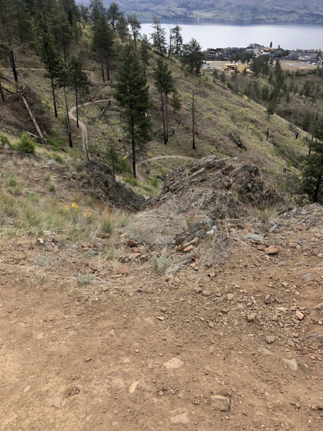
- well maintained trail with switchbacks and wooden railings at the narrower and steeper sections of the trail
Interesting notes:
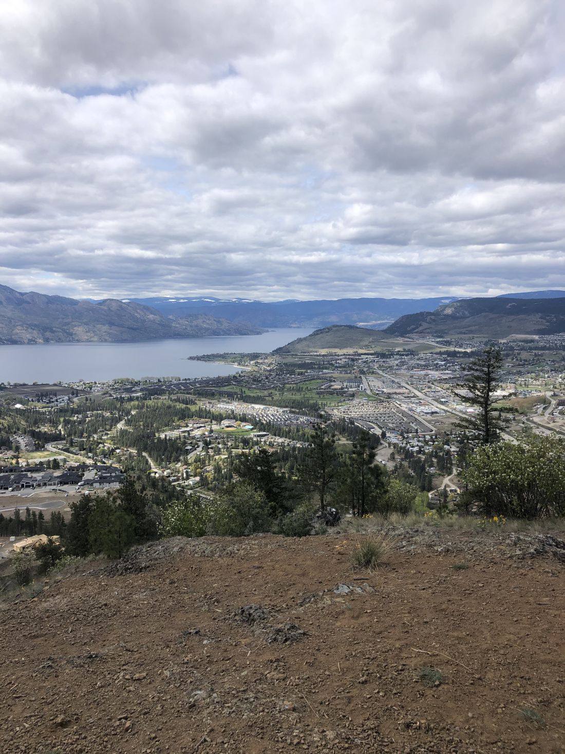
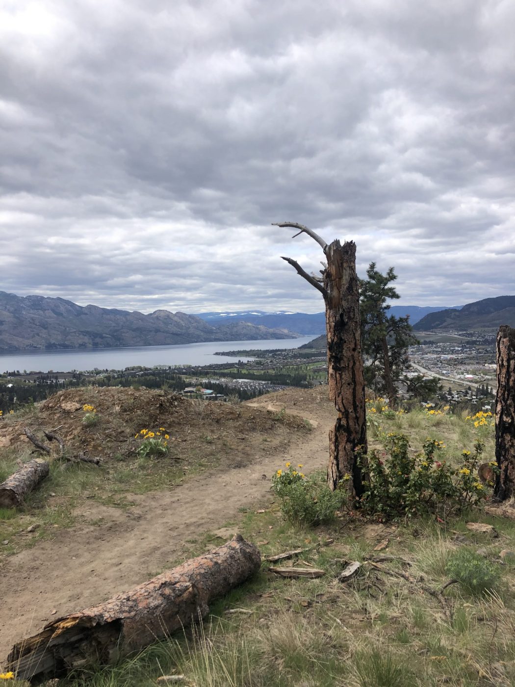
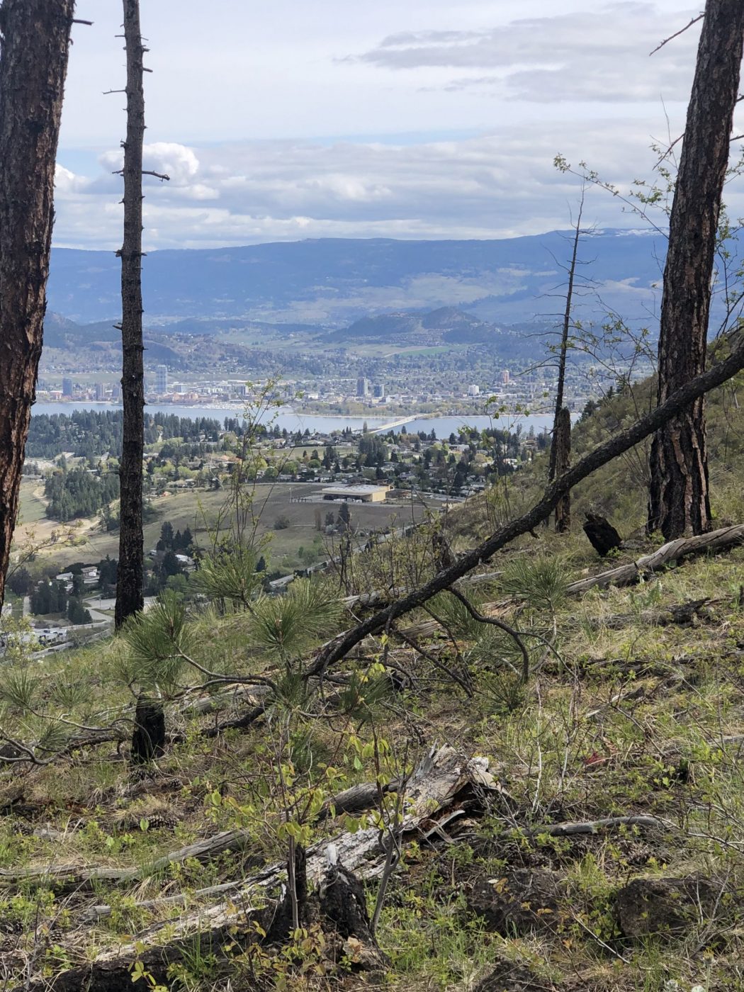
- the 360-degree views at the top are well worth the climb
- Mount Boucherie is the remnants of a former stratovolcano created nearly 60 million years ago
- it is named after Isadore Boucherie, a farmer, stock-raiser, and an early settler to both Rutland and the west side of the lake
- in the late 1880s, Isadore purchased the land, which is still known today as Boucherie Ranch, and the mountain behind the ranch still carries his name
- unique rock formations and ancient solidified lava rock can be seen throughout the trail
- another unique aspect of this trail is the Antelope Bush which is a plant species indicative of the Sonoran Desert