January 14, 2023
In
Outdoor Edventures
Lillian Lake Hike
Where:
- Lillian Lake
When:
- January 14, 2023
Who:
- Ed, Dave, Rod, Bauer, Oak, Lisa, Peter, Erin, Kardy, Brenda
Trailhead:
- a little over an hour drive from Calgary and a 45-minute drive from Canmore
- heading south on Highway 40 for 33 km, the parking lot is on the right-hand side of the road
Degree of difficulty:
- 610 meters elevation
- 13.6 km round trip
- the hike took us four hours
- this is a moderate hike for most of the way other than one long hill just before the lake
- at the end of the trail, there is a short hill back up to the parking lot that is a grind
Interesting notes:
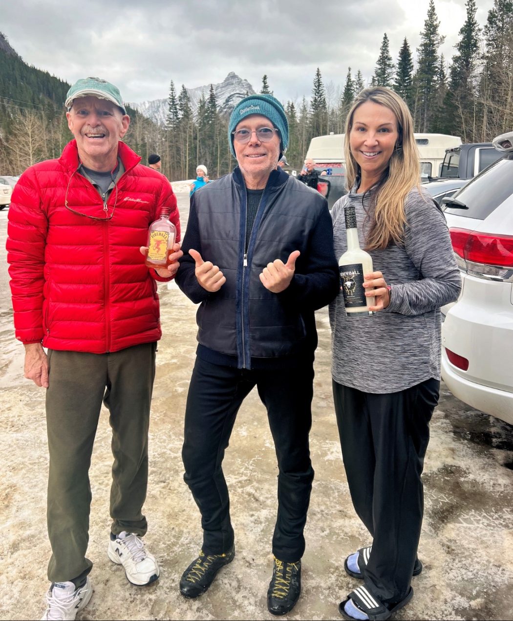
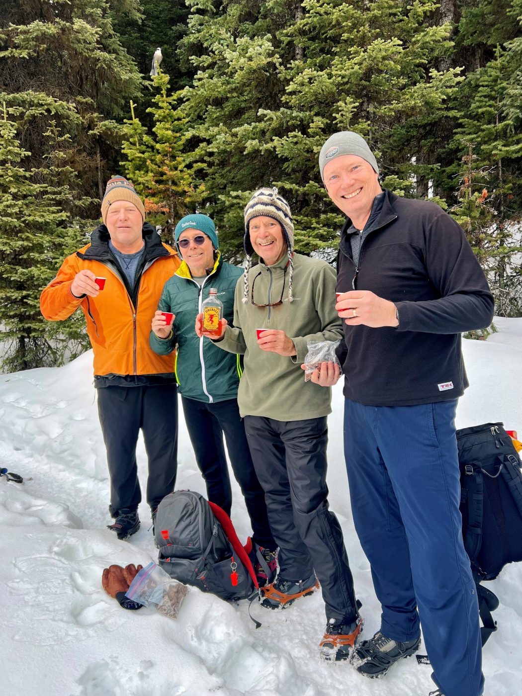
- this was a monumental day as Erin supplemented Oak’s traditional Fireball with some Screwball Whiskey
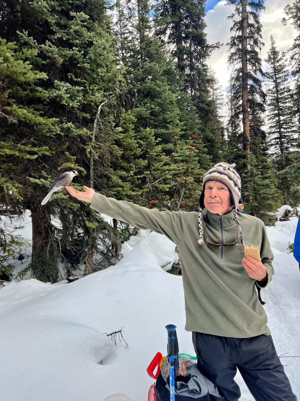
- speaking of Whiskey, Oak had a Whiskey Jack eating out of his hand at Lillian Lake
- the initial forested part of the trail crosses several bridges along Galatea Creek where you witness the massive destruction from the 2013 flood
- there are some nice waterfalls and pools of water along the creek although most of them were frozen over
- there was a beautiful ice falls about three-quarters of the way up to the lake
- the trail offers views of Limestone Mountain, Mount Kidd, The Tower, Mount Galatea, and Fortress Ridge
- this trail can also be used to access Lost Lake (no trail marking, so I didn’t see where it cuts off into this trail) and Guinn Pass/Ribbon Lake (the turnoff was moved from near Lillian Lake to just before Lower Galatea Lake)
- there is a campground at Lillian Lake with 17 campsites
- keep an eye out for the unique letter P-shaped tree (for Peter) on your descent near the end of the hike