November 1, 2025
In
Outdoor Edventures
Jumpingpound Summit Hike
Where:
- Jumpingpound Summit
When:
- November 1, 2025
Who:
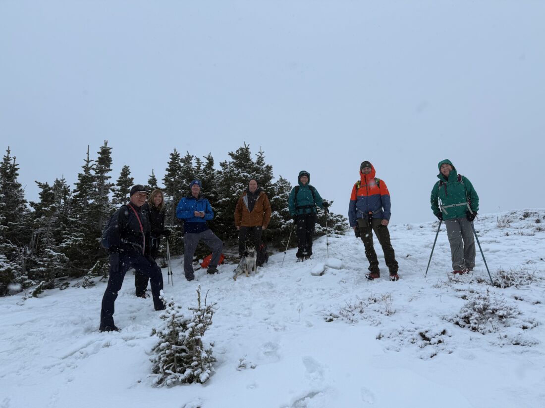
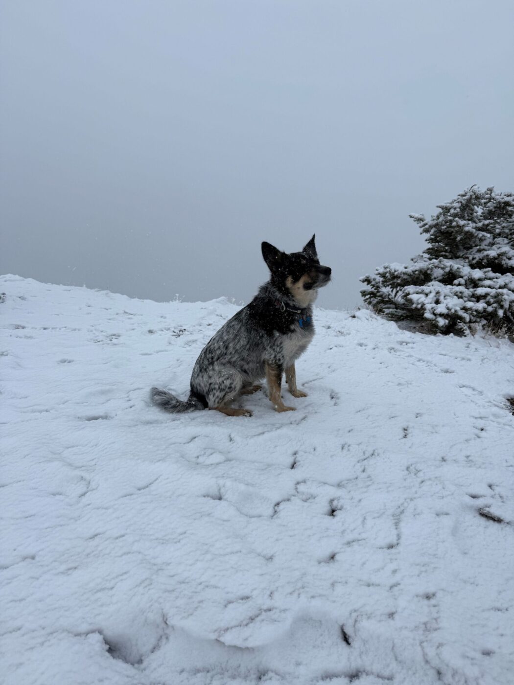
- Ed, Craig, Dave, Rod, Dally, Gerard, Carolyn, Roger, Carolyn, Peter, Lisa
Trailhead:
- an hour and a half drive from Calgary (118 km)
- heading west on Highway 1 and take the Sibbald Flats (Highway 68) turnoff heading south for 22 km and then take Powderface Trail for 16 km or you can come west from Bragg Creek on Highway 66 and then turn north onto Powderface Trail for 18 km
- the parking area is on the right (west) side of the road
- the trailhead starts across the road on the east side
Degree of difficulty:
- 425 meters elevation
- 7 km round trip
- the hike took us under 2.5 hours
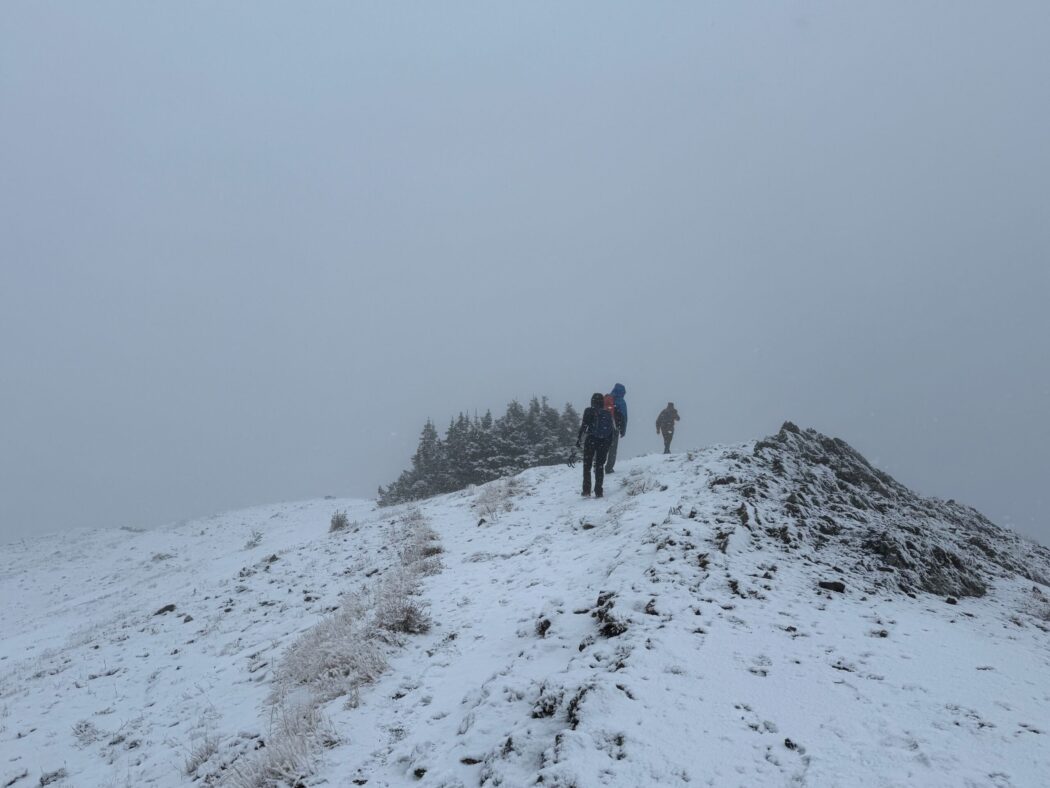
- the trail starts somewhat flat and then is a gradual steady climb to the summit
Interesting notes:
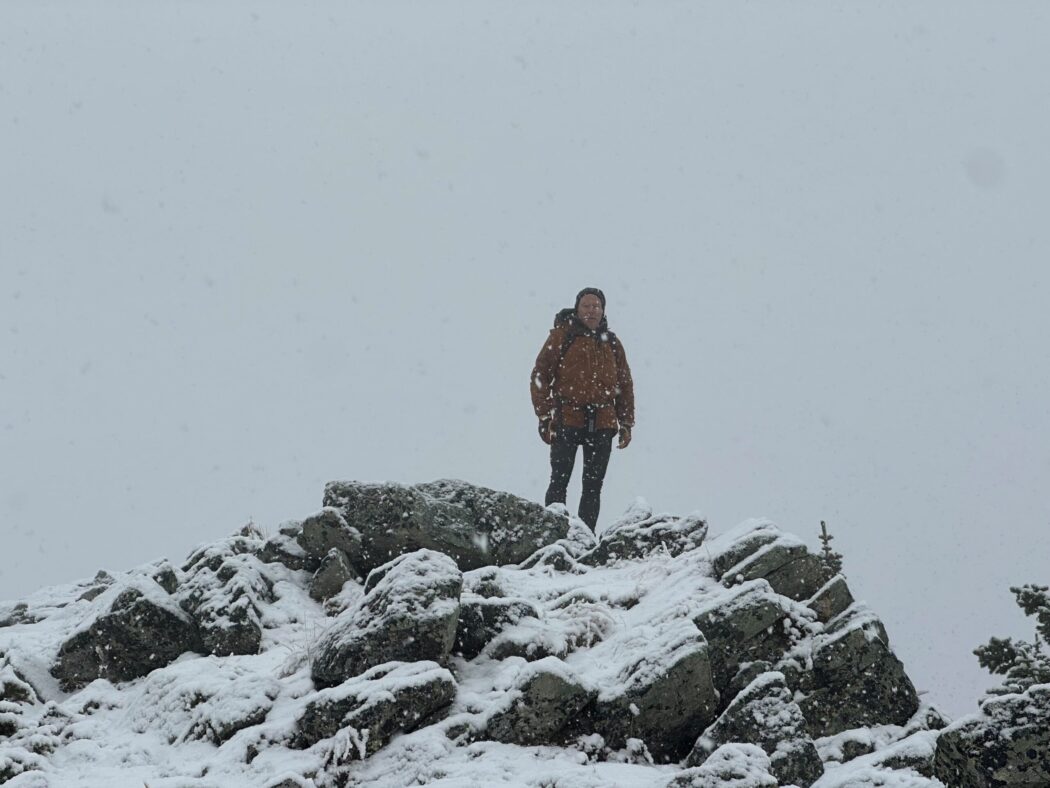
- on this day, we started in a light drizzle that turned to snow near the summit, where there was limited visibility, which impaired any sort of view
- the trail typically offers views of Compression Ridge, Mount Howard, Belmore Brown, Tiara Peak
- this is a very popular biking trail, so be careful
- Jumpingpound Ridge is likely named after the practice of herding buffalo into an enclosure or pound