October 9, 2021
In
Outdoor Edventures
James Walker Hike
Where:
- James Walker
When:
- October 9, 2021
Who:
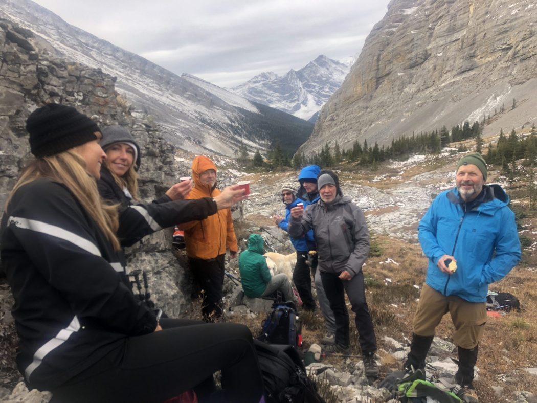
- Ed, Dave, Erin, Kellie, Mike, Oak, Luna, Craig, Peter, Lisa
Trailhead:
- the trailhead is 48 km south of Canmore on Highway 742 (Smith Dorrien, Spray Lakes Road)
- the parking lot is on the left (east) side of the road at the Sawmill day use area, about 5 kms past the Chester and Burstall parking lots
- the trailhead is behind the washroom and not out of the far end of the parking lot as that leads to a lower loop
Degree of difficulty:
- 550 meters of elevation gain and 12 km distance to the upper valley (it depends how far you go into the upper valley)
- start on the trail behind the washroom that points towards the mountain range and then within 50 yards it veers off 45 degrees to the left
- the initial trail is on old logging roads until 2 km where you cut off to the right to go up the valley along James Walker Creek (it is marked with a snowshoe sign on the left and a pink marker on the right)
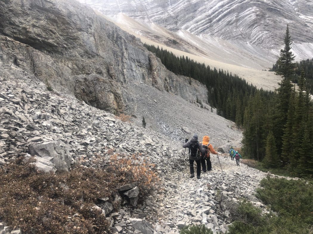
- the trail is quite gentle until you get to the tarn (small pond which was dried up) at 4.5 km, where you proceed to the end of it and then start a steeper climb up to the wide-open alpine valley
- in the upper valley, there is no trail so you can proceed to the end of the valley or venture up to the right for a scramble up Mount James Walker
- the hike took us 3.5 hours
Interesting notes:
- this trail always amazes me at how uncrowded it is, and especially with Chester and Burstall typically being packed with hikers (we only saw 3 other people on this day, and they were trying to find a different trail)
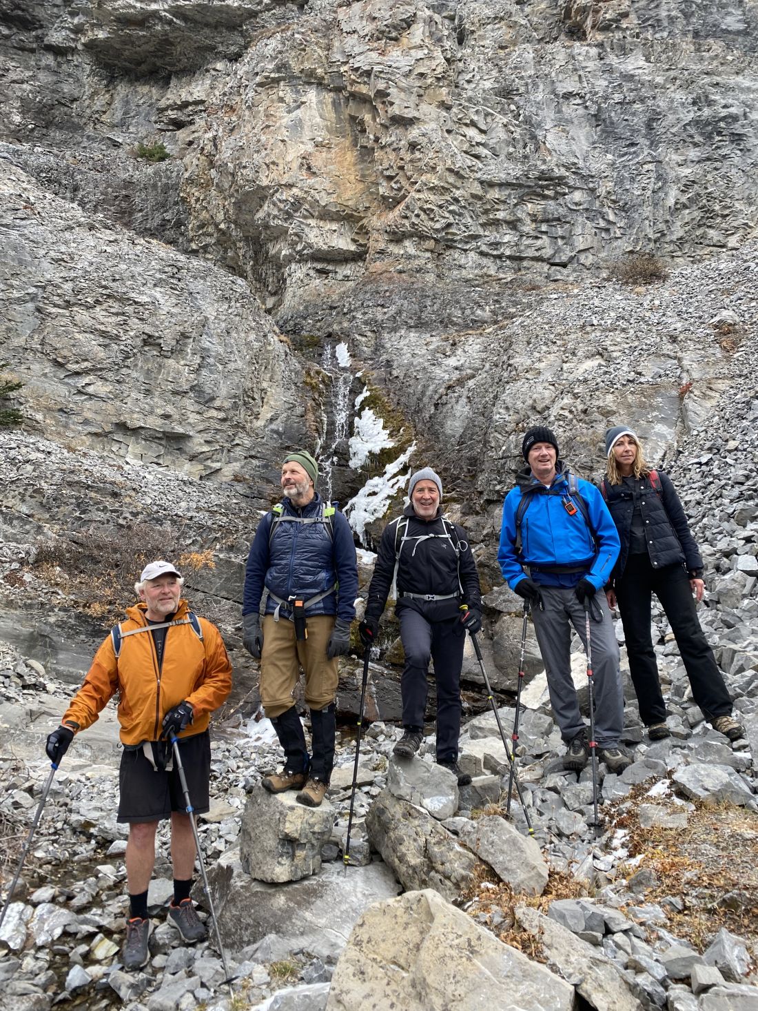
- after you leave the tarn area, keep an eye out for some nice waterfalls on the left-hand side as you climb towards the rock outcropping
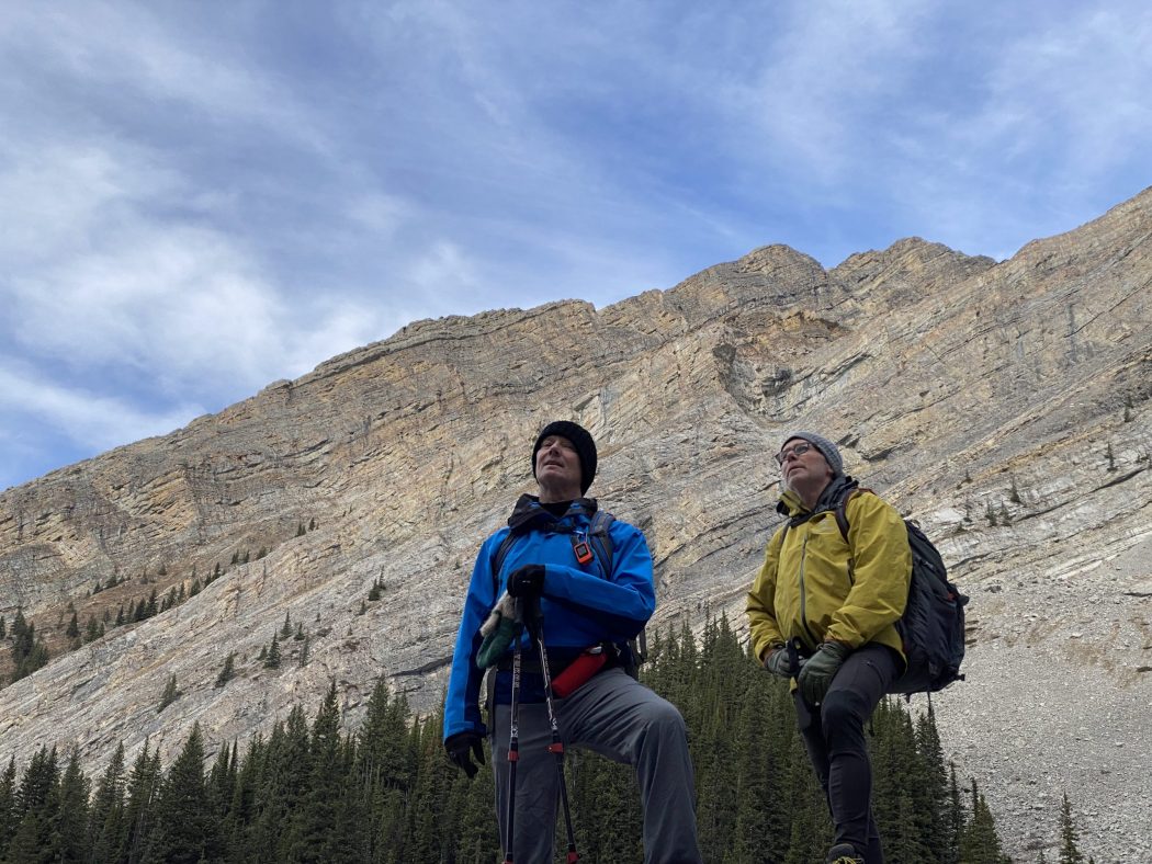
- there are views up the valley of Mount Inflexible to the south and Mount James Walker to the north
- the trail/mountain was named in 1959 after Colonel James Walker, who served in the North-West Mounted Police and who was also a soldier, businessman, politician, and civic leader in Calgary and the surrounding rural area