August 29, 2020
In
Outdoor Edventures
Headwall Lakes Hike
Where:
- Headwall Lakes
When:
- August 29, 2020
Who:
- Ed, Jace, Craig, An, Peter, Lisa, Tomonori, Joey, Keri, Geoff, Lynn, Bailey, Dave
Trailhead:
- take the Spray Lakes Road from Canmore for 46 km (about 45 minutes) until you reach the turnoff on the left-hand side for the Chester Lake parking lot (the Burstall Pass parking lot is across the road)
- the trailhead starts out of the NE corner of the parking lot just to the left of the washrooms (there is an alternate route out of the SE corner of the parking lot, and we generally return via this route)
- be careful you do not start on the Chester Lake trailhead which is to the left of the Headwall trailhead
Degree of difficulty:
- 650 meters of elevation gain and a 15 km out and back to the upper lake
- the hike took us just under five hours as we took our time enjoying all the ecological beauty
- the trail starts as a gentle climb on an old logging road that was also once used for cross country skiing
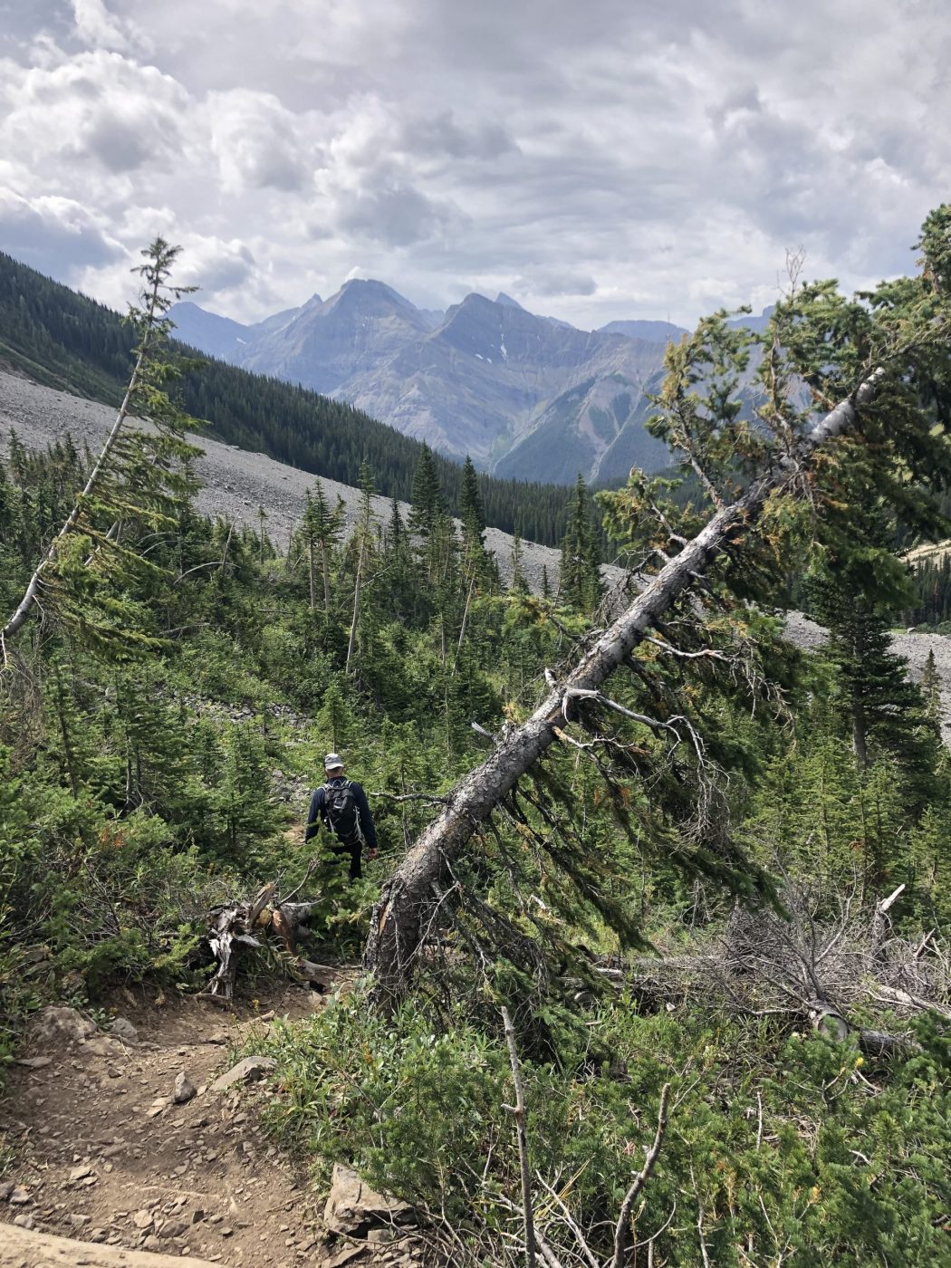
- the initial few km are in the trees with somewhat limited views, but a great smell of the forest
- after 3 km you cross a bridge and climb a short hill
- as you crest the hill, there is a marker on the left-hand side of the trail where you enter the narrower and well worn Headwall trail (there are currently a bunch of rocks spread across the trail to show you not to go any further on the logging road)
- from here the trail meanders thru thicker forest until you come to a couple of avalanche chutes
- at the end of the second chute, you start a very steep ascent, that is not for a timid hiker
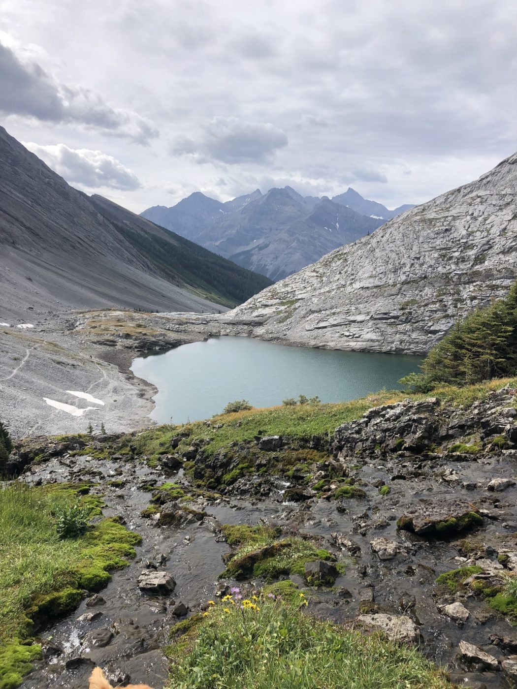
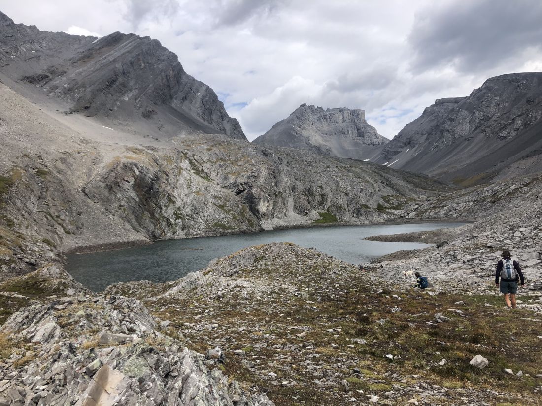
- after the steep climb there is a short climb through another avalanche chute to the first lake and then a beautiful short climb to the second lake with a waterfall streaming down the middle of rock slope
- this trail is a moderate to advanced hike as most of the trail is fairly gentle, other than the ascent noted above
Interesting notes:
- a good portion of the initial part of the trail is in the forest, so the stunning views do not start until you break out a couple of km before the lakes
- I love the rocks in the upper valley with some amazing shapes, massive slabs, and huge boulders
- as well the bent trees in the avalanche chutes are very unique and are a reminder of the power of avalanches
- the numerous species of wildflowers were in full bloom
- the lakes are nestled between Mount Chester, The Fortress, Mount Inflexible, and Mount James Walker
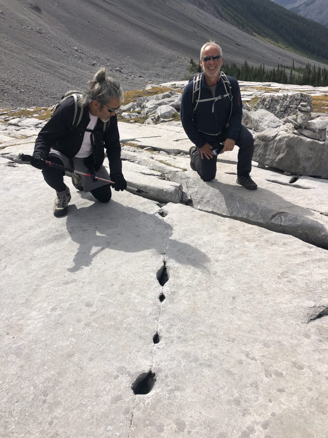
- the rock area before the climb to the lakes contains what is known as ‘whale limestone’ and numerous fossils
- if you have time and the conditions allow for it, the hike over the pass, up Fortress Mountain, and back thru Chester Lake is very scenic but takes 6-7 hours
- this trail is a good alternative to Chester as it is generally much less busy, but still very scenic