February 6, 2022
In
Outdoor Edventures
Grotto Canyon Hike
Where:
- Grotto Canyon
When:
- February 5, 2022
Who:
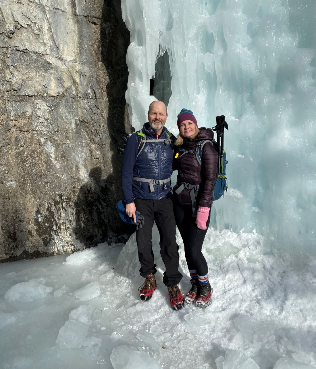
- Ed, Dave, Gerard, Erin, Craig, Janet, Oak, Jane, Luna, Peter, Lisa, Rod, Bauer, Shonda, Peggy, Rob, Missy
Trailhead:
- from Calgary, take highway 1 and turn off at the Seebee exit onto Highway 1X for a couple of km, and turn left (west) onto 1A of the hamlet of Exshaw for 3 km
- from Canmore, take the 1A east for 13 km (10 minutes) and the parking lot is on the left-hand side
- the Grotto Creek parking lot is on the right (north) side of the highway beside Grotto pond
- a 10-minute drive from Canmore and 45 minutes from Calgary
- the trailhead starts on the west side of the parking lot at the large Grotto Creek Trail sign
- you take a path for a km through the trees along the edge of the Baymag 2 plant (processing plant for magnesium-carbonate), before turning right (marked with flagging tape) to follow Grotto Creek up the limestone walled canyon
Degree of difficulty:
- 320 meters elevation gain to a few km up the valley
- 10 km round trip (6 km if you go to the cave/hoodoos and back)
- the hike took us 2.5 hours at a very leisurely pace
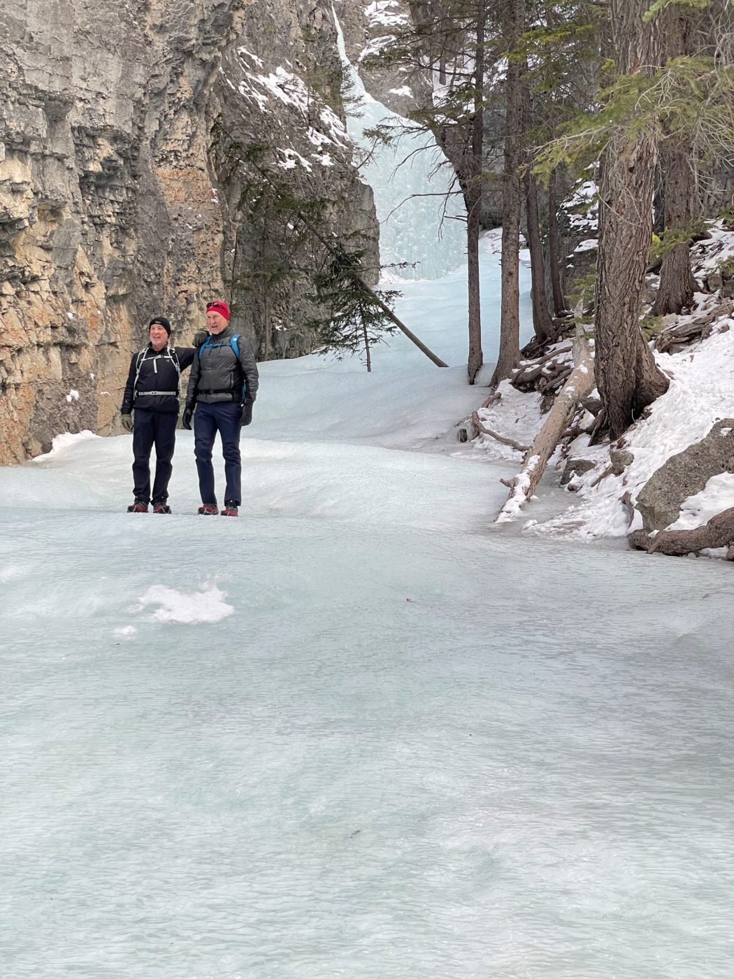
- the creekbed was very slippery, so everyone had grippers, which were very necessary
- there is not much elevation, so it’s a relatively easy hike other than the tricky footing through the creekbed in the canyon
Interesting notes:
- partway up the creekbed just before the bend, on the left-hand side, are some Hopi pictographs (painted in ochre) that are estimated to be 500 to 1300 years old
- the Hopi (meaning peaceful people) tribe are now based in Arizona, and one of the most visible pictographs is of their symbolic flute player
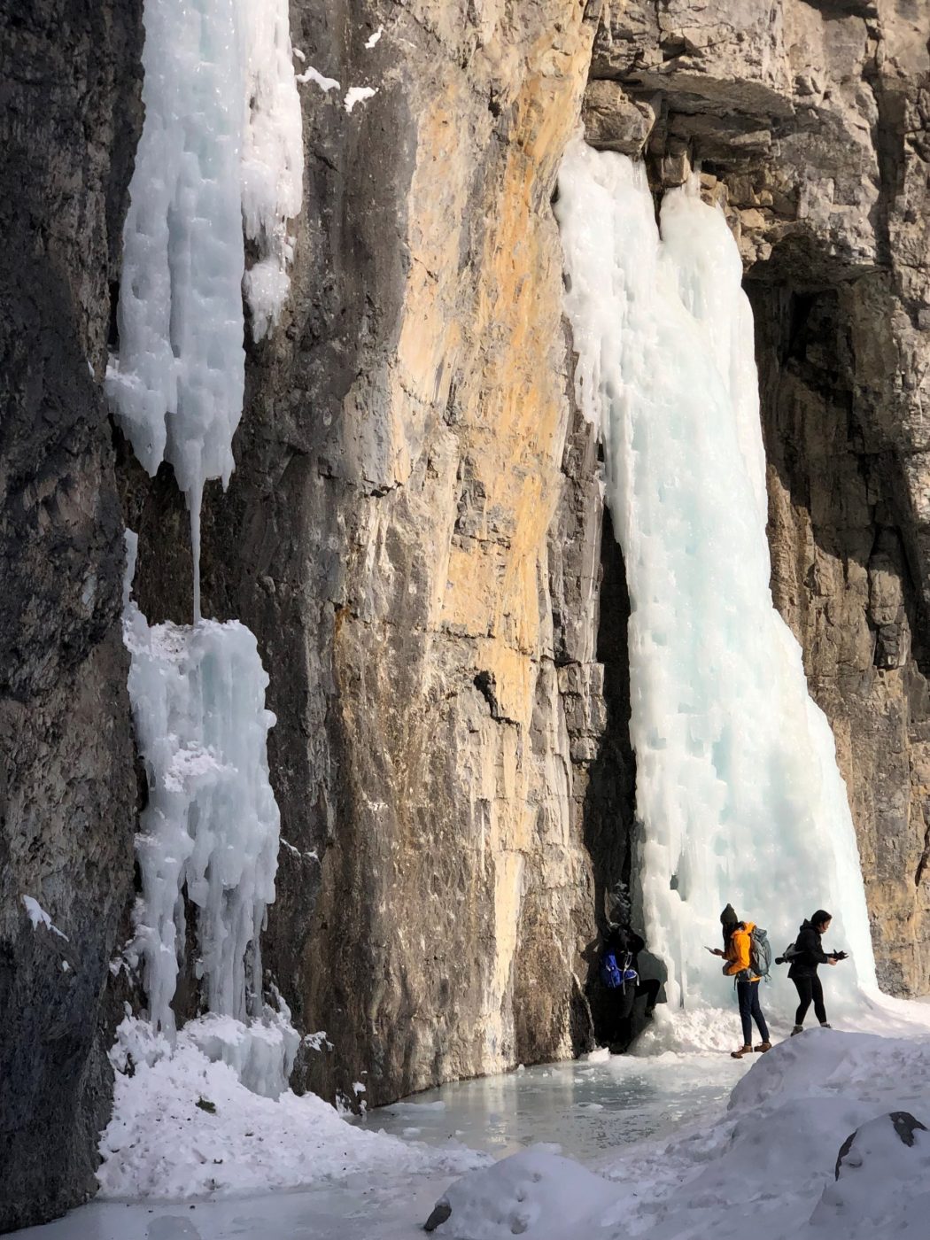
- there are 200 climbing routes along the Grotto Canyon hike
- about halfway through the hike, where the trail bends to the left, there is Grotto waterfall tucked into the right-hand side of the canyon and some ice flows at the bend (Dave and Rod did their ice luge imitation and almost wiped out Jace)
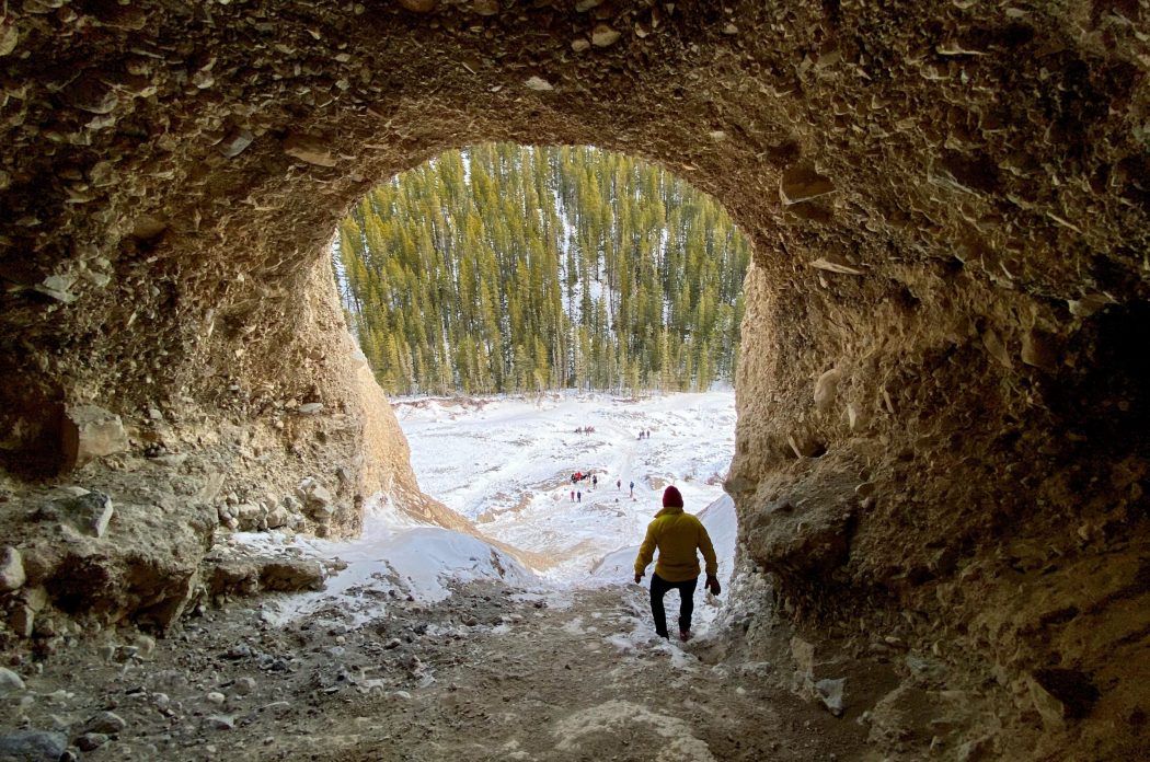
- just around the bend, there is an Inukshuk Garden, and a little further along are some hoodoos and a cave in the sandstone on the left wall of the valley (three of us climbed up into the cave and had a fast but fun slide down the scree)
- the hike is wedged between Grotto Mountain to the west and Mount Fable to the east
- members of the Palliser Expedition named the area Grotto in 1858 after discovering the cave tucked into the mountain, which they described as having a large stream leading to a clear pool and green mossy bank
- Mt. Fable was named by the first ascent party in reference to a story about heavy bush causing a prior attempt to fail, which they considered a fable