August 20, 2022
In
Outdoor Edventures
Grizzly Peak Hike
Where:
- Grizzly Peak
When:
- August 20, 2022
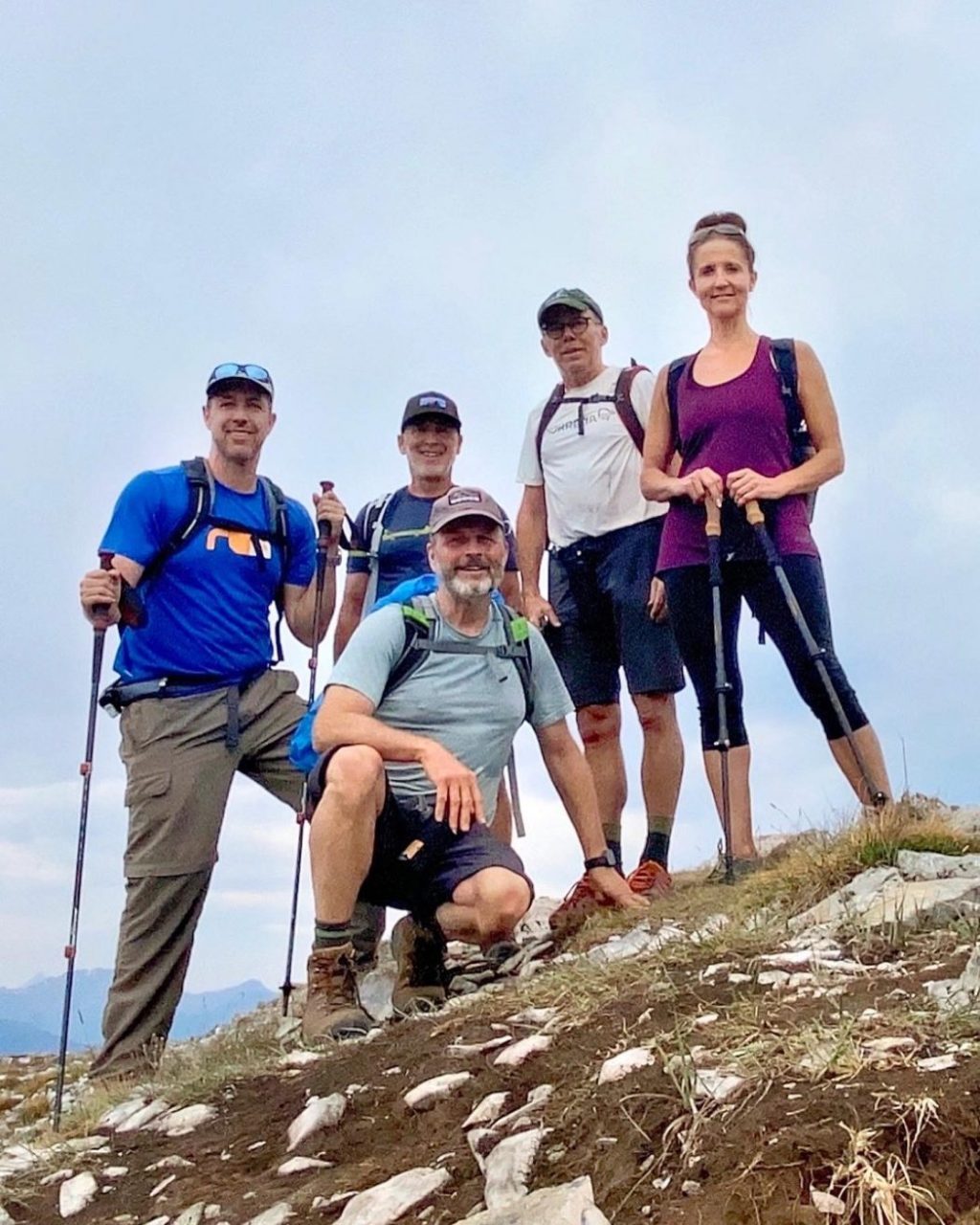
Who:
- Ed, Dave, Craig, Jeff, Nicole
Trailhead:
- from highway 1 heading west, turn south onto Highway 40
- travel 45.7 km, and park in the ditch on the left (east) side of the road beside Grizzly Creek
- the trail starts on the left (north) side of the bridge
Degree of difficulty:
- 880 meters of elevation gain
- 6.6 km out and back
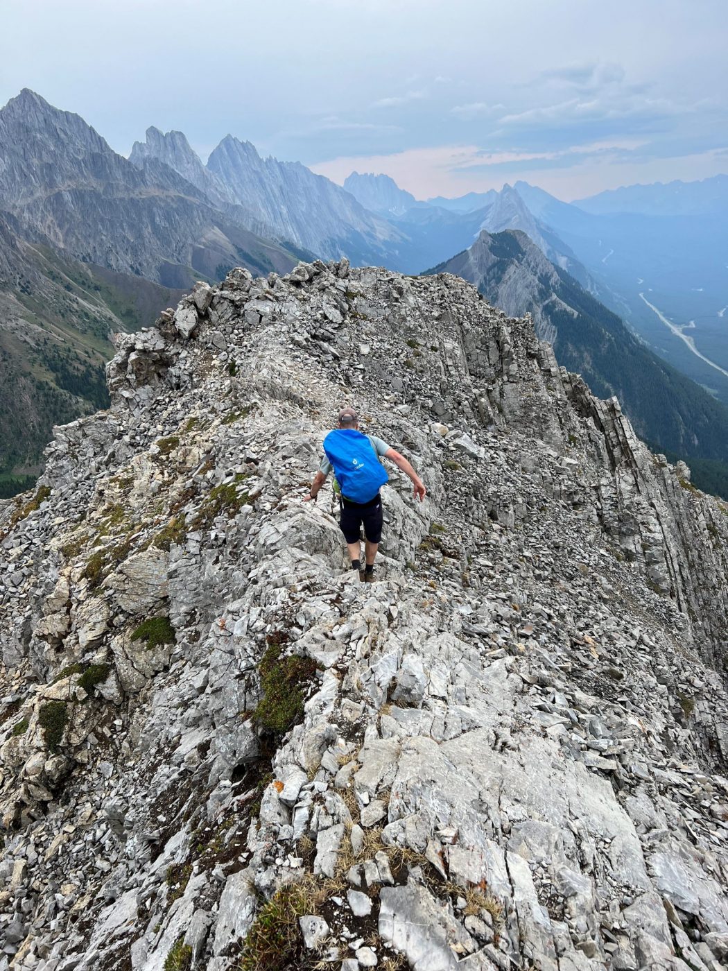
- a very steep hike that offers little grade respite
- there is a tricky ledge on the front side, some loose shale on the back side, and a narrow ridge at the top
- the hike took us 3.5 hours
Interesting notes:
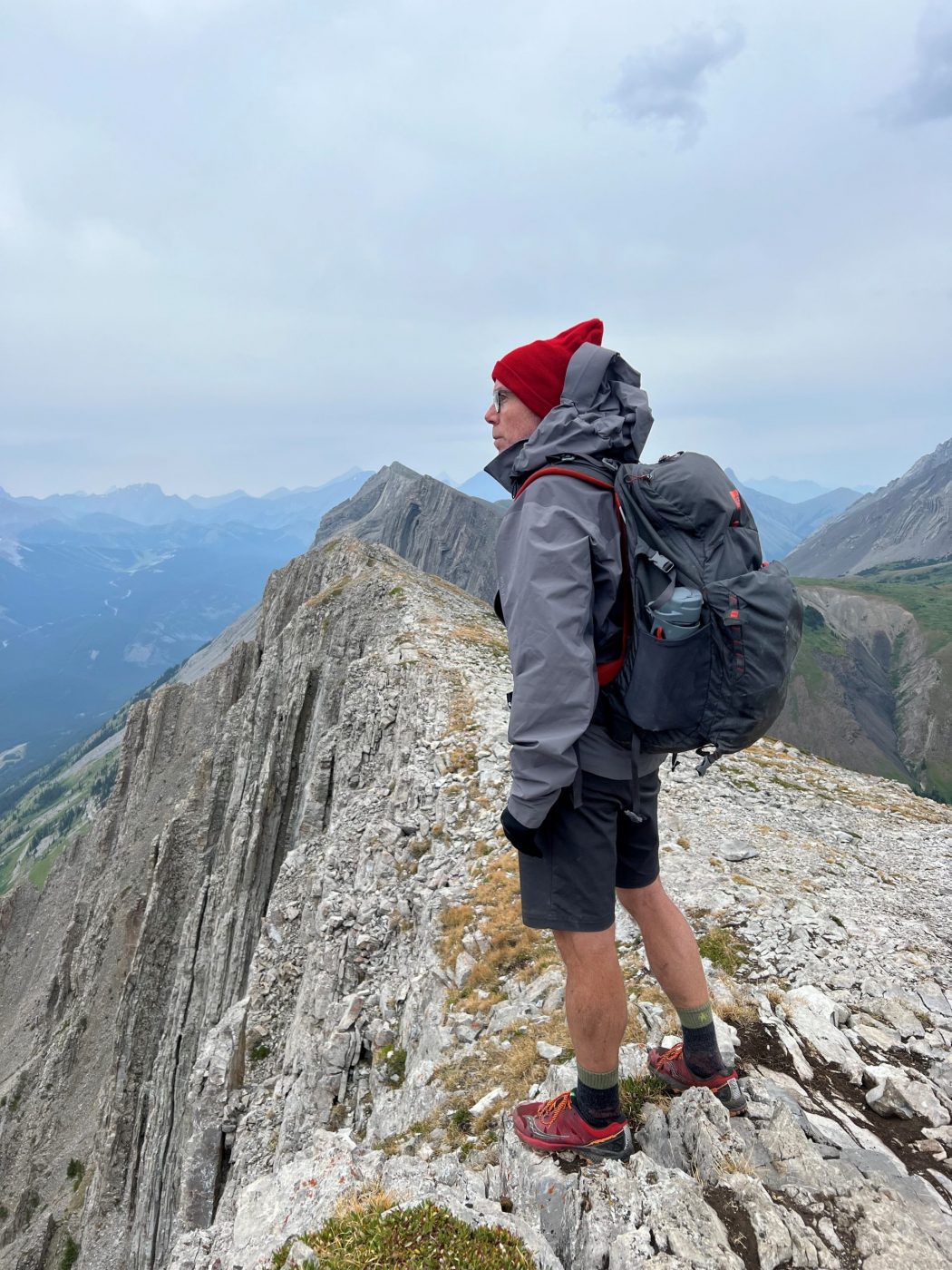
- amazing views on the way up and at the top of the entire Kananaskis Valley
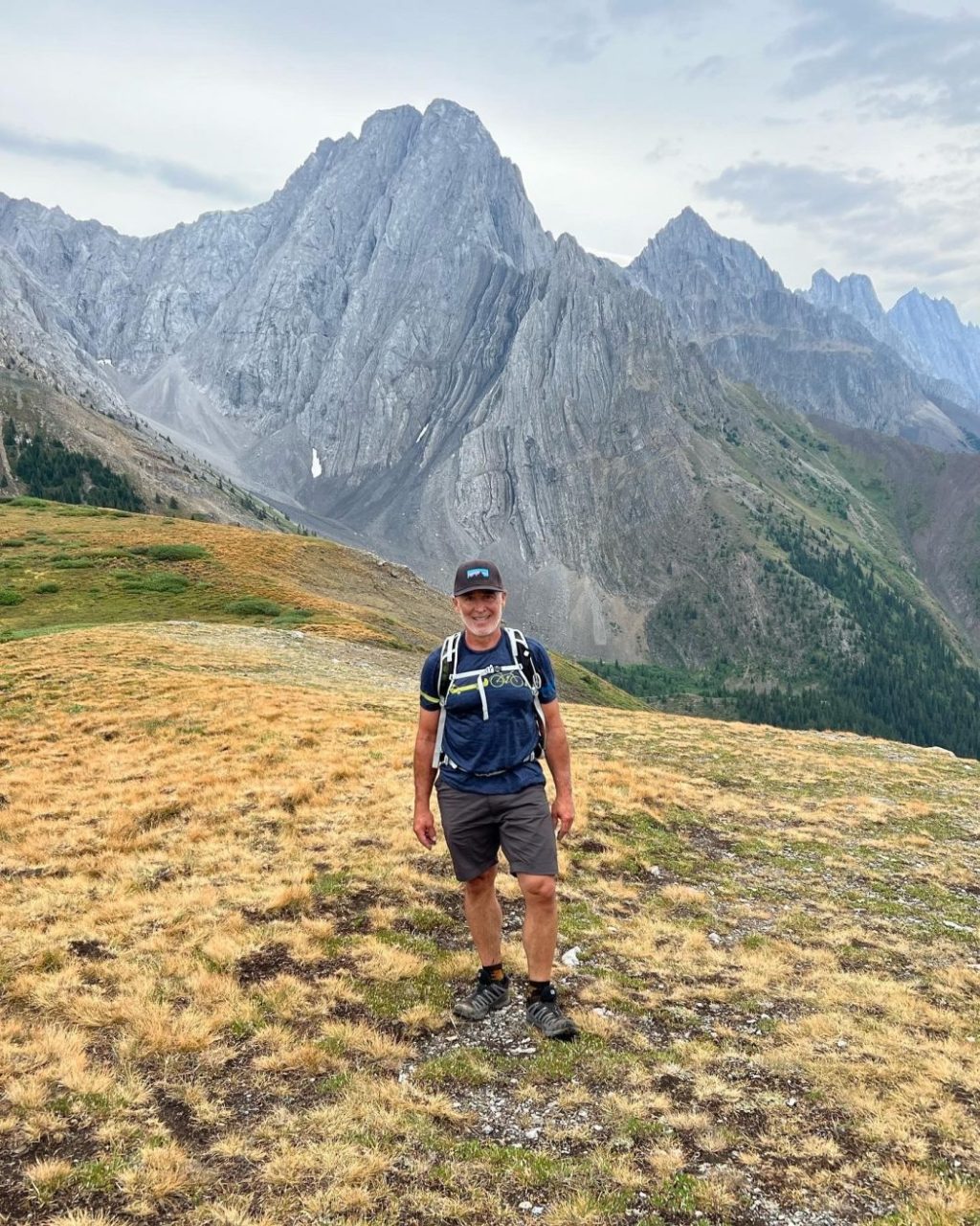
- the striations in some of the surrounding mountains are a thing to behold
- the meadow on the back side of the mountain is quite beautiful
- the naming of Grizzly Peak comes from the name of Grizzly Creek that flows beside it