September 12, 2020
In
Outdoor Edventures
Burstall Pass Hike
Where:
- Burstall Pass
When:
- September 12, 2020
Who:
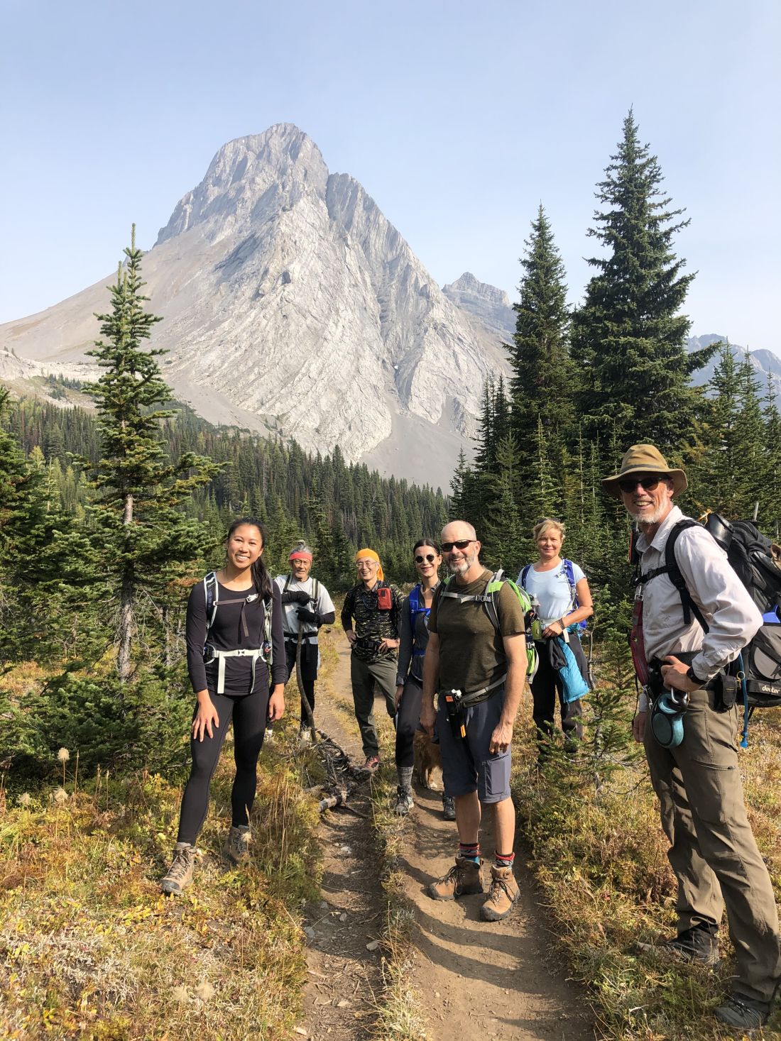
- Ed, Jace, Brandi, Dayna, Craig, An, Keri, Chris, Abby, Finn, Winnie, Tomonori, Michael, Rohan, Django
Trailhead:
- take the Spray Lakes Road from Canmore for 46 km (about 45 minutes) until you reach the turnoff on the right-hand side
- if you are coming from Highway 40, it is about 20 km past the Kananaskis Lakes Trail and Spray Lakes Road (Smith Dorrien) turnoff heading north
- the parking lot is across the road from the Chester Lake/Headwall Lakes parking lot
- head out of the end of the parking lot on the left-hand side that takes you along Mud Lake on an old logging road
- the trail starts as a road for the first few km and make sure you do not turn right early on as this leads onto the Hogarth Lakes trail or left, which takes you to French Glacier (follow the hiking sign that points up the old logging rodad)
- once you break out of the trees into the open valley, be sure to follow the markings across the plain to an opening in the trees (this is the trickiest part as you have to make your way across the stream a few times and through some bushes)
Degree of difficulty:
- 470 meters elevation
- 15 km out and back return on the same trail
- 5 hours total time on the trail
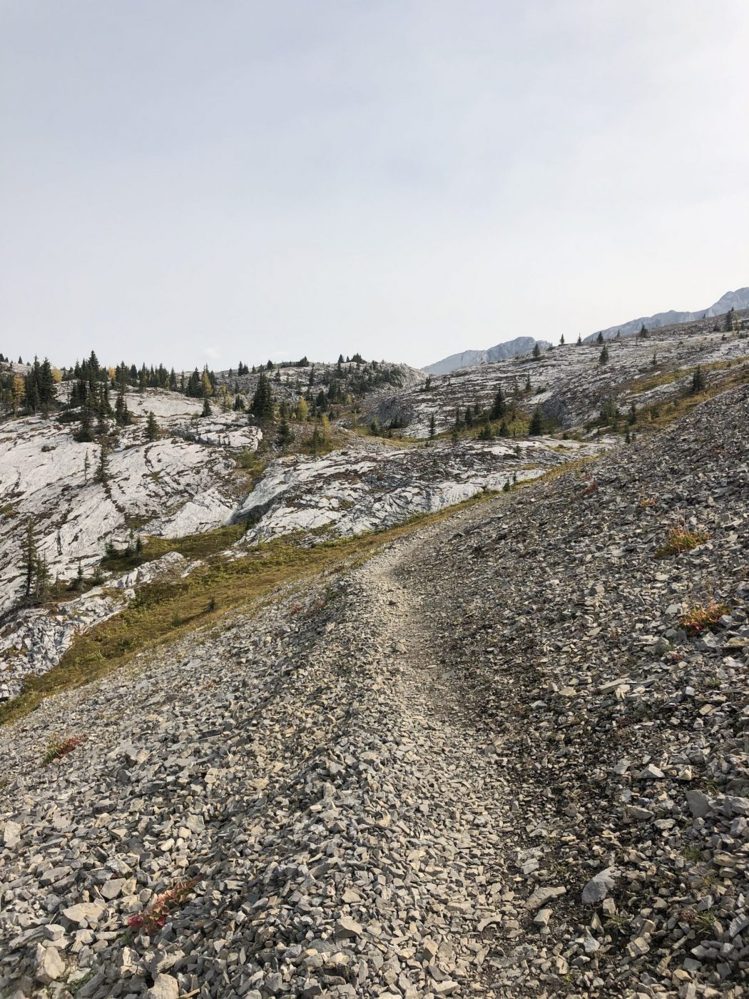
- moderate stroll through the trees for the first 4 km and you cross marshy gravel flats (alluvial fan) with Robertson Glacier on your left for .5 km to a steep climb of 1 km, into the upper valley for another 1 km, followed by another climb of five switchbacks up to Burstall pass
- make sure at the top of Burstall Pass that you continue along the ridge to the right and across the backside for 1 km for views of Leman Lake and Mt. Assiniboine (you cross the border from Alberta into B.C. on this final stretch)
- the creek through the lower valley can be tricky to cross in the spring, so sandals are a good option
Interesting notes:
- this trail is unique in that you are in four valleys
- Burstall Pass sits at 2380 meters (7800 feet)
- a few km along the trail Burstall Lakes are on your right-hand side, and it’s worth the short diversions to check them out
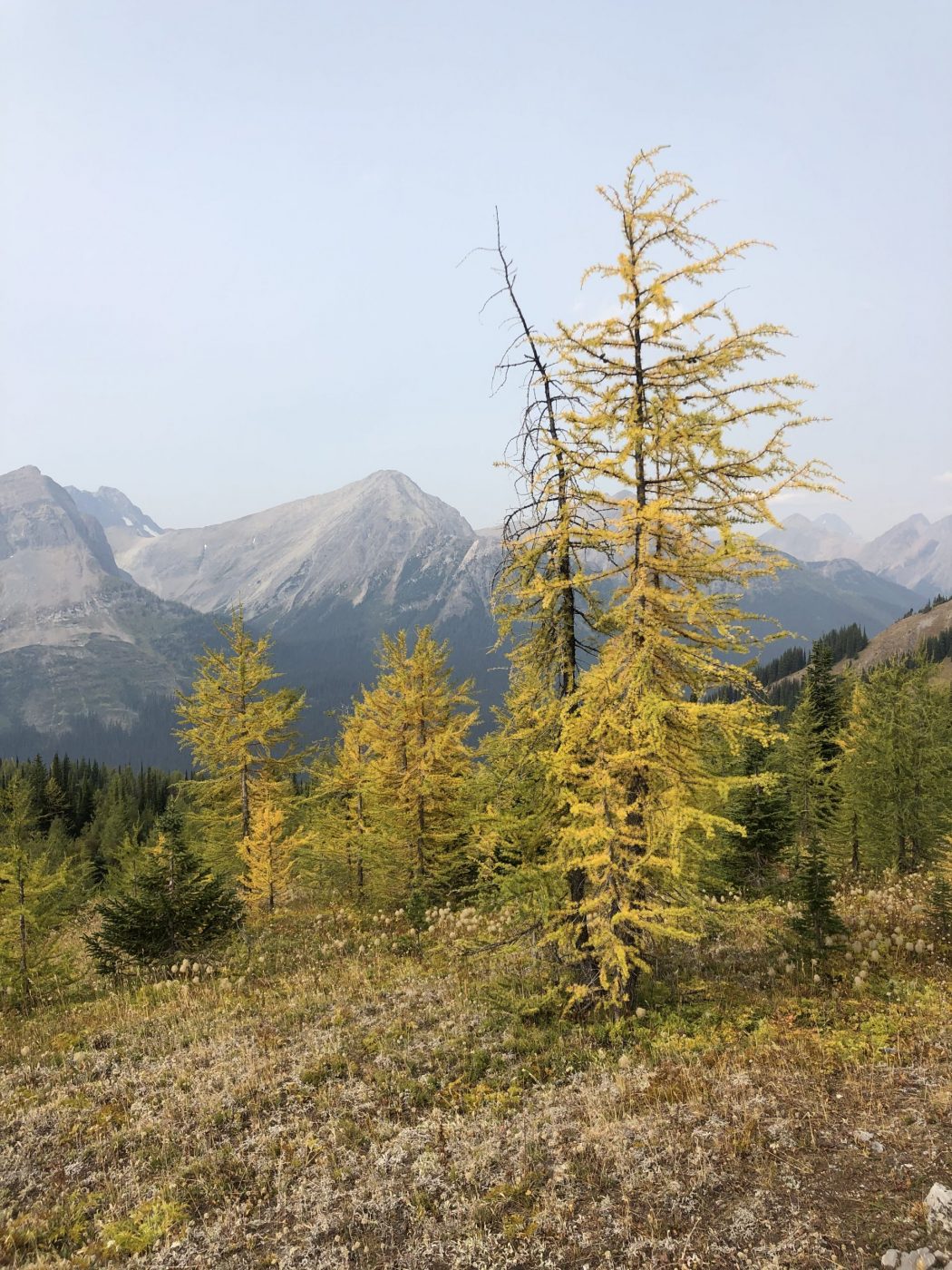
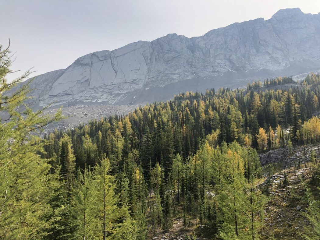
- the meadow in the upper valley contains vast amounts of spectacular rock formations, wildflowers, and larch trees (we were fortunate that some of the larch trees had started to turn vibrant yellow)
- there are some unique sinkholes and rock fissures partway across the trail at the top of the pass
- beautiful views of Mount Burstall, Mount Robertson, Commonwealth Peak, Pig’s Tail, Snow Peak, Mount Level, Mount Leman
- you can also see Mt. Assiniboine off in the distance from the far side of Burstall Pass
- at the top of the pass, those that some gas left in the tank could scramble up Snow Peak, although it is another 450 meters
- the trail is named for Lt. General E.H. Burstall, who was the Commander of Canadian Troops during WW1
- you can mountain bike the first 3 km, which would make for a nice descent at the end of this long hike
- we snowshoe this trail in the winter but only into the Robertson Glacier valley
- Chris told an interesting story that when he guided in this area in the 1970’s he took a Kodak camera with two cartridges, which gave him 24 pictures for six weeks (I was surmising that between us, we probably took 500 photos in these five hours on our phone cameras)