October 22, 2025
In
Outdoor Edventures
Belmore Brown Hike
Where:
- Belmore Browne
When:
- October 21, 2025
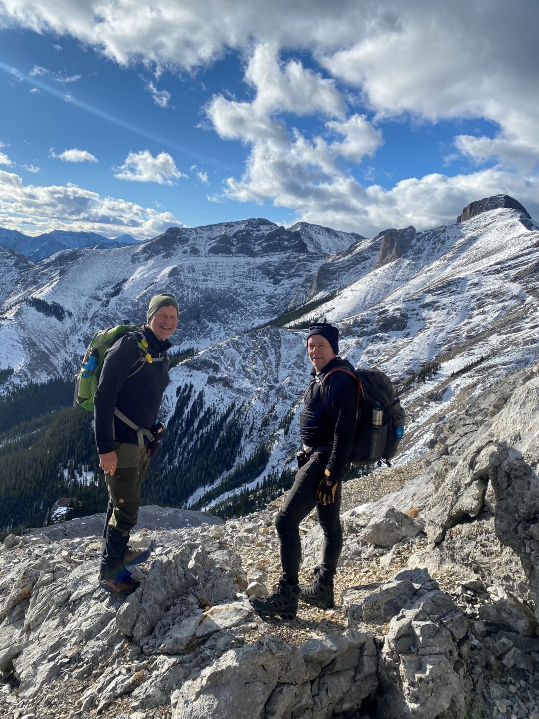
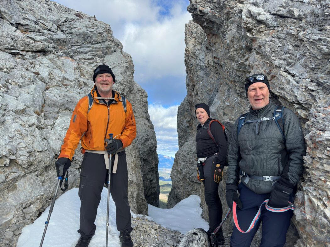
Who:
- Ed, Craig, Rod, Dally, Kardy
Trailhead:
- an hour and a half drive from Calgary (142 km)
- heading west on Highway 1 and take the Sibbald Flats (highway 68) turnoff heading south for 22 km and then take Powderface Trail for 14.5 km
- the trailhead starts on the right (west) side of the road and is marked by a cairn
- we parked just past the trailhead at a bit of a carve out in the road
Degree of difficulty:
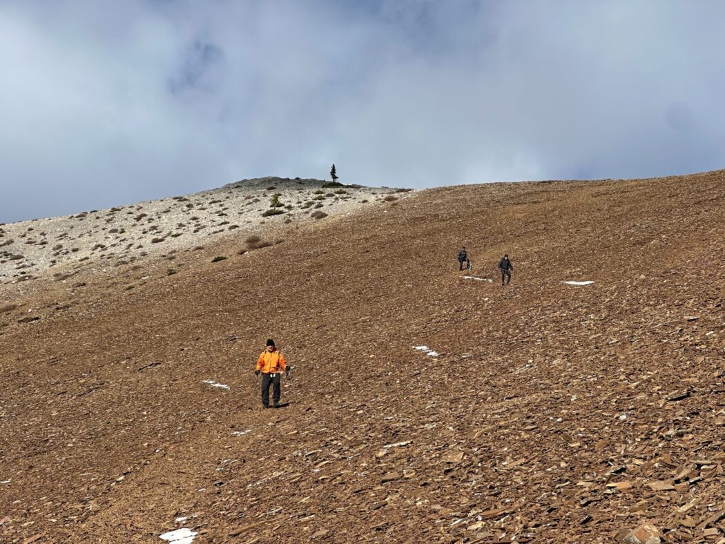
- 800 meters elevation
- 11 km round trip
- the hike took us four and fifteen minutes
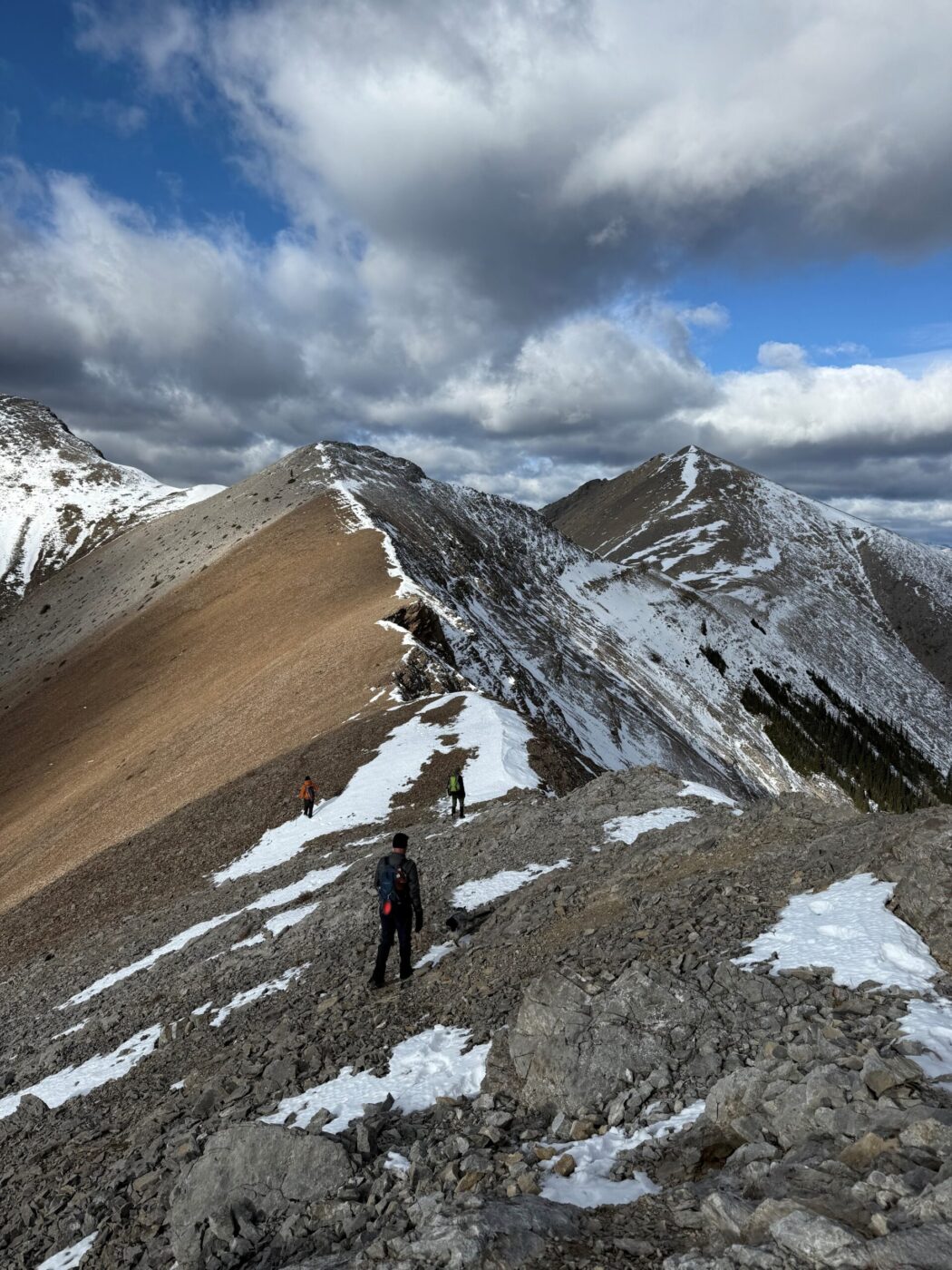
- the trail starts out flat up a cutline, then meanders gradually uphill through the forest, and then through a creek bed with some tricky footing and then up a steep scree slope to the first summit and then along a ridge to the second summit
Interesting notes:
- Belmore Browne was an artist, explorer, mountaineer, and great exponent of northern outdoor living and wilderness travel,
- you can continue north from the second Belmore peak to Boundary Peak or south to Tiara Peak, which we plan to do next time
- the trail offers views of numerous peaks in the front range of the Kananaskis Valley and Bragg Creek area
- it’s hard to believe that such a spectacular hike that is so close to Calgary is not very well known and we only saw two other people on the trail