September 30, 2025
In
Outdoor Edventures
Arethusa Cirque Hike
Where:
- Arethusa Cirque
When:
- September 30, 2025
Where:
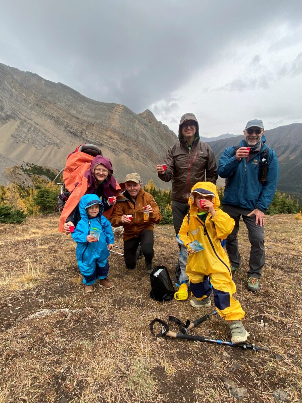
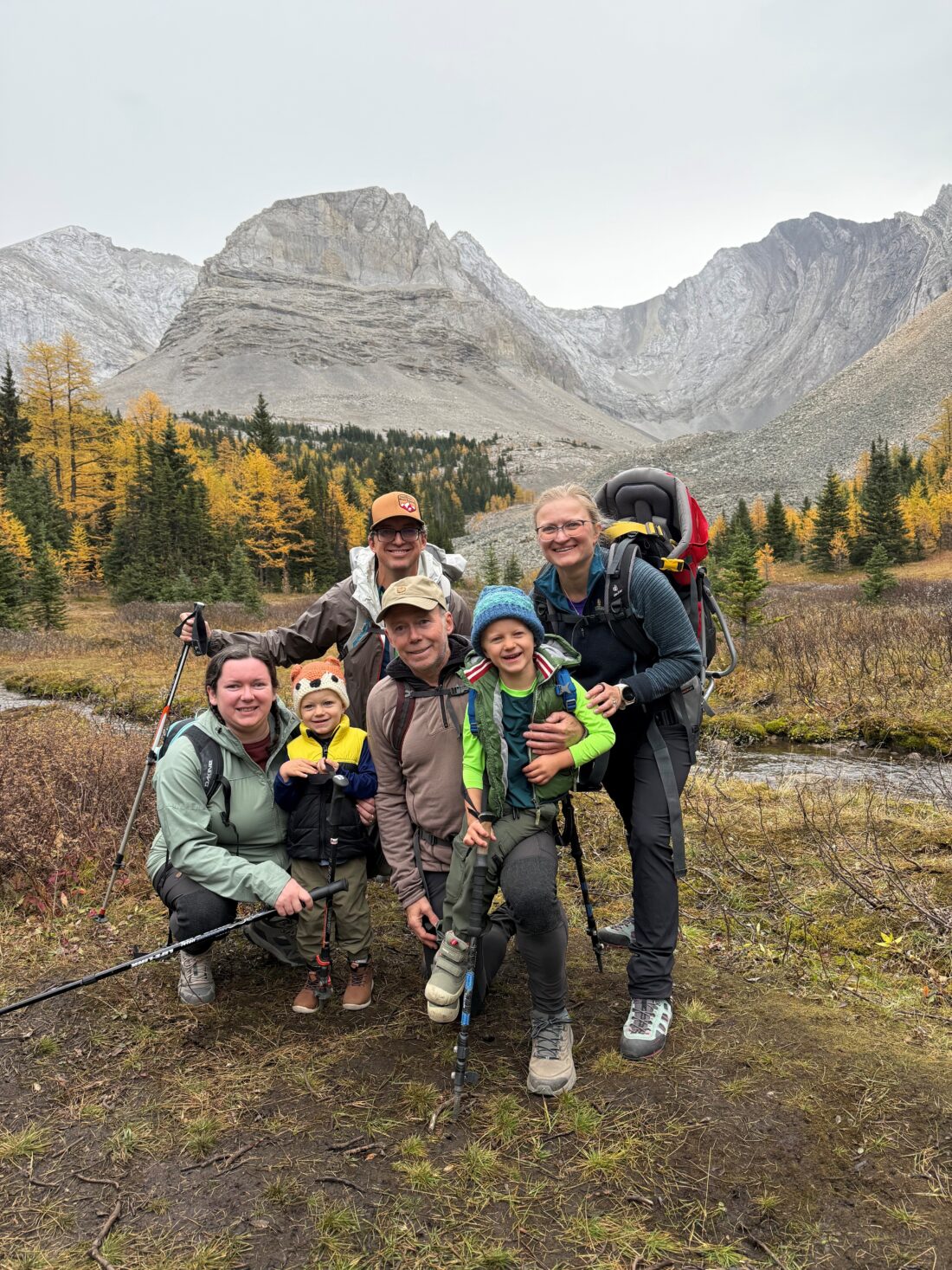
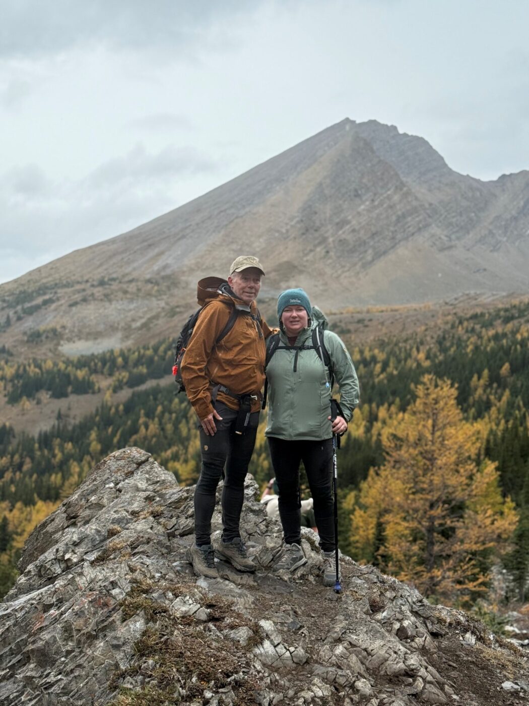
- Ed, Steph, Neil, Erik, Anton, Sasha, Feiko
Trailhead:
- on Highway 40, drive south from the Trans-Canada Highway for 69 km (1 hour) or 1.3 km south of the Highwood Pass
- the parking is in a dirt parking lot on the East side of the road
- the trail starts near the north end of the parking lot
- you walk along the south side of the creek and eventually walk past a waterfall that is on a short side path to the left
- shortly after this, you enter the meadow where there are log or rock crossings across the small creek
- after the creek crossing, we took the trail that led straight up the middle of the cirque and then went clockwise at the top back to the meadow
Degree of difficulty:
- 4.6 km
- 325 meters
- 2.5 hours return
- it is a short hike, but it does have enough elevation gain in a short distance to get a decent workout

Interesting notes:
- it was a special treat to have five year old Anton, and two and a half year old Erik along for this hike on what was their first real mountain adventure, and they did amazing
- this is a great family friendly larch tree hike, which results in huge crowds that often results in cars parked along the highway
- there are beautiful views of Mt. Rae, Ptarmigan Cirque, Highwood Ridge, Pocaterra, Mt. Arethusa, Storhusa Ridge, Storm Mountain, Mist Mountain, and many others
- Mount Arethusa gets its name from the British light cruiser HMS Arethusa, which was sunk by a mine in 1916
- there are several other trails that emanate from this same parking lot in the Arethusa valley