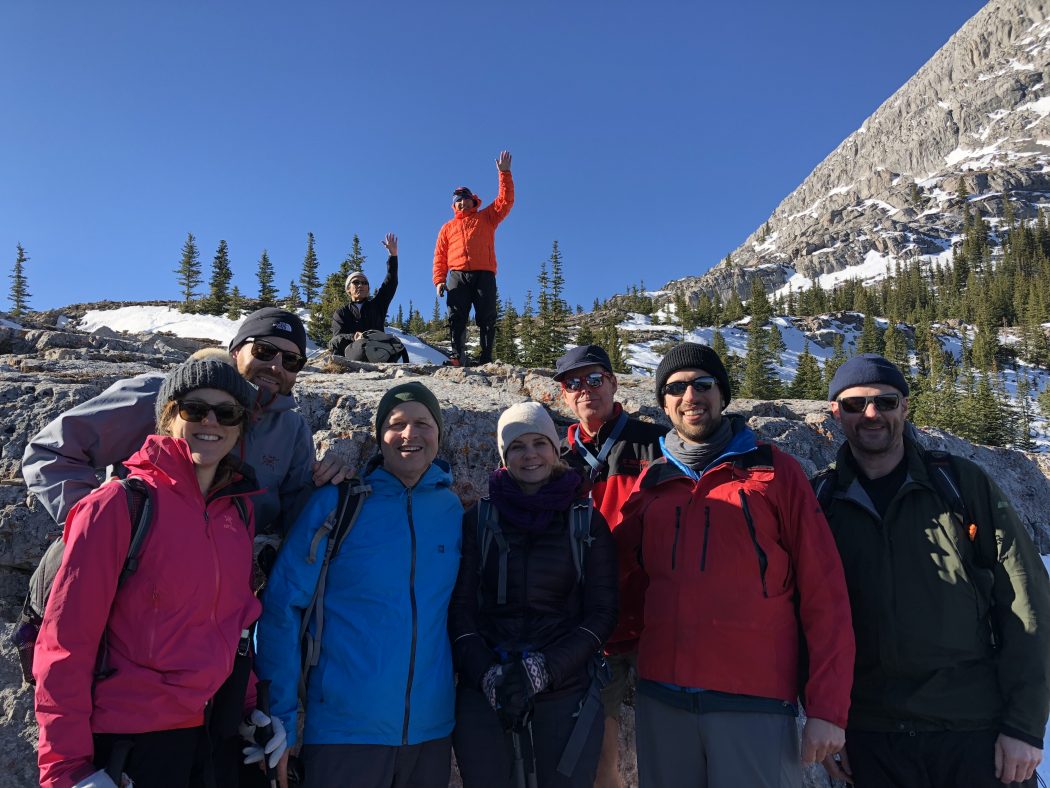
West Wind Pass Hike
Where:
• West Wind Pass
When:
• October 20, 2018
Trailhead:
• 18 km’s from Canmore heading south on the Spray Lakes Road
• park on the right-hand side of the road and then cross the road
• we prefer the trail on the right side of the valley on the left side of Spurling Creek
• 5 minutes up the trail it crosses the High Rockies biking trail so be sure to look for the plastic marking on the tree across the trail to pick up the more faint and narrow hiking path
Degree of difficulty:
• 1250 ft elevation
• steep climb to the pass right from the start of the trail
• 5 km’s round trip
• three to four-hour hike moving at a steady pace
Interesting notes:
• we do a counter-clockwise loop going up the right-hand side of the valley beside Spurling Creek which is only visible for a few hundred yards as it comes from beneath the valley floor
• you have to pay close attention to the trail markers to not lose your way up thru the trees
• at the top as you break out of the trees, you descend to the left thru a rockface that requires cautious footing, especially in snow conditions as we had
• you can turn right at the top and make your way up Windtower Mountain (which we have not yet done but it is on the agenda)
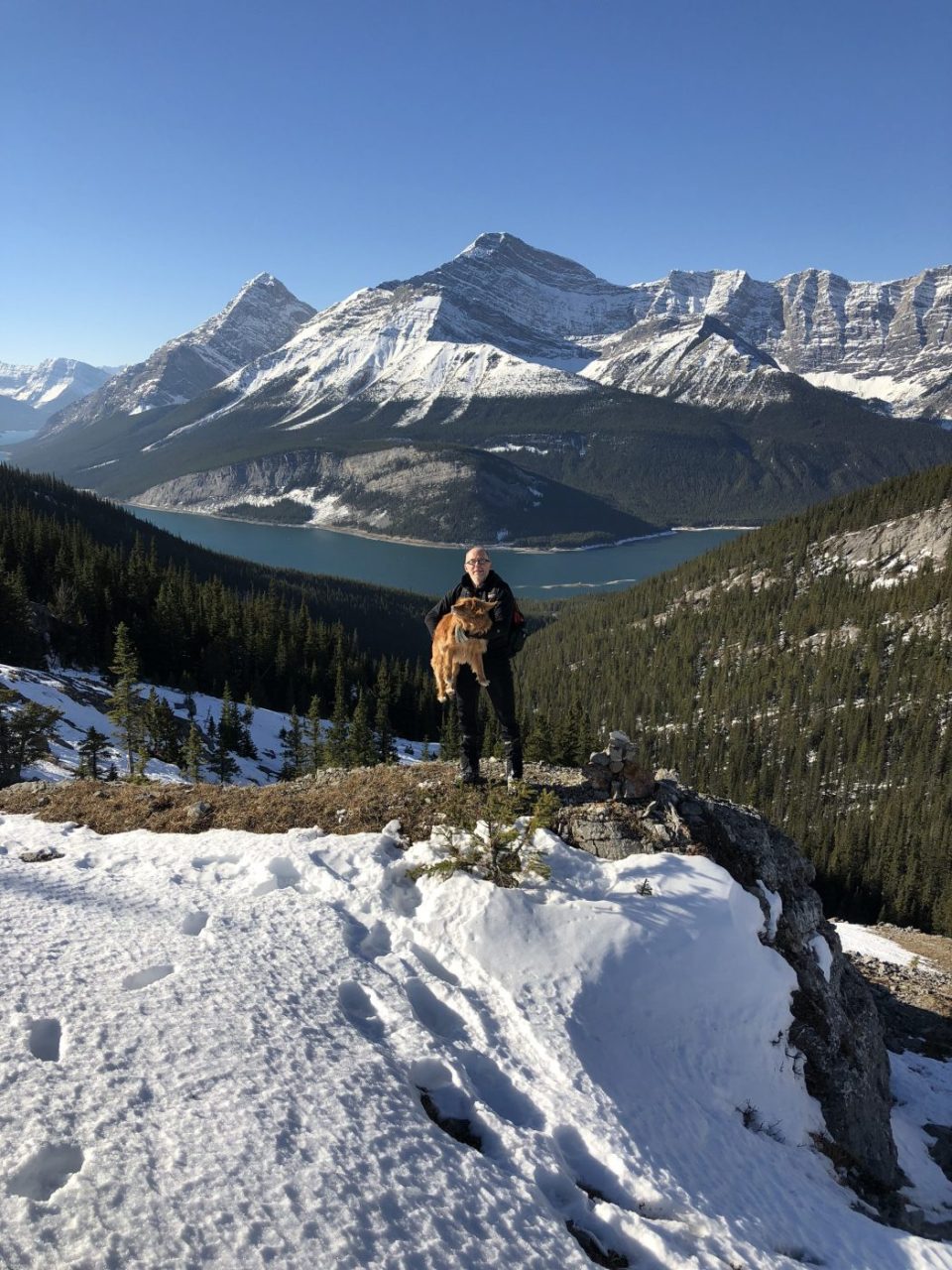
• there are great views at the top from the saddle looking in south to Spray Lakes or north to the Bow Valley
• it is often windy at the top but you can descent slightly below the north side to escape most of the wind for a nice lunch break