June 9, 2019
In
Outdoor Edventures
Wasootch Ridge Hike
Where:
- Wasootch Ridge
When:
- June 8, 2019
Who:
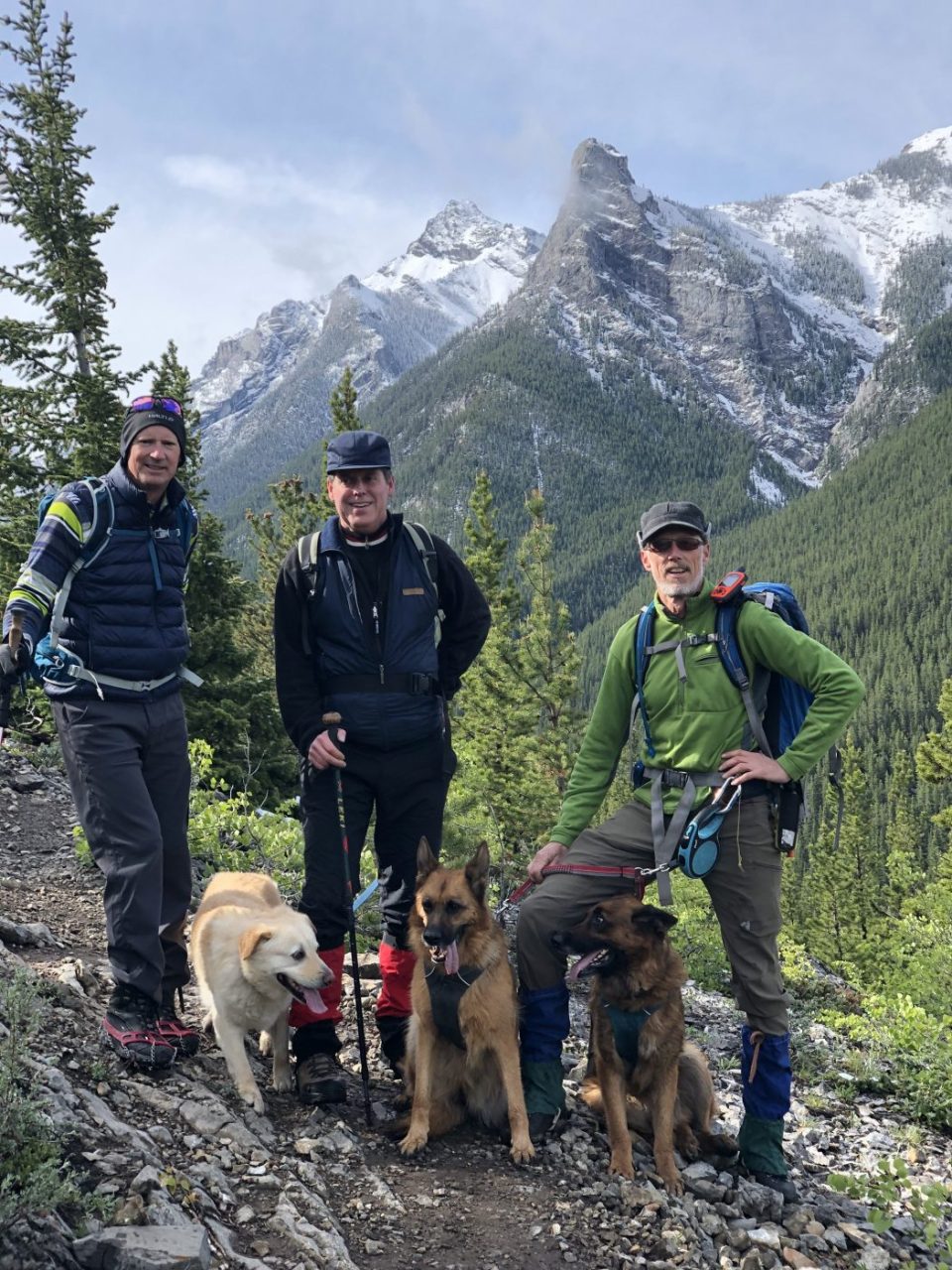
- Ed, Jace, Geoff, Lynn, Chris, Finn, Winnie, Michael, Django
Trailhead:
- the trailhead is 17 km south of Highway 1 on Highway 40
- the parking lot is on the left (east) side of the road about a half km off the highway
- the trailhead starts out of the north side of the parking lot
Degree of difficulty:
- 1450 meters of elevation gain and 15 km distance if you get all the way to the final ridge
- the trail is very steep and rugged at the start for about 10 minutes, so it’s best to take your time up this section as it’s not a fun way to start the hike
- after that, it involves numerous short to medium climbs over about ten different knolls/ridges
- as you approach the end of the trail near the summit, there are some challenging rock faces to scramble over that I would only recommend for very experienced climbers who are not afraid of heights
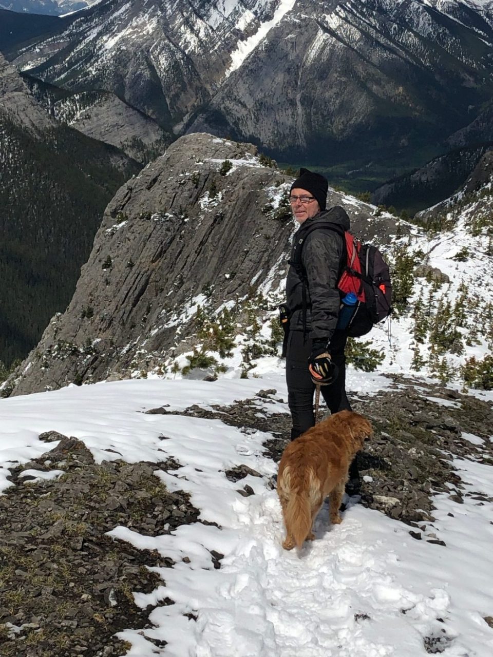
- on this particular day, we had some snow accumulation, but it was fairly easy to make our way thru it as we all had good winter boots on
- it was more of a challenge coming down as we slipped a few times on the snow and mud
- for less confident hikers, this might be a better trail when it is dry
- the hike took us 4.5 hours, and we did not quite make the final ridge due to the snow conditions, and this would have likely added another hour to the journey
Interesting notes:
- one of my favorite trails as you very quickly ascend to 360-degree views of all the amazing mountains in the area
- I have not yet made it to the final ridge, so I hope to do this on a sunny and dry day later this year as the footing looks to be tricky to get up the final ridge
- one side of the ridge (north) is bordered by Porcupine Creek and the other side (south) by Wasootch Creek
- there are beautiful views of Mount McDougall (we presume named after Craig) to the south
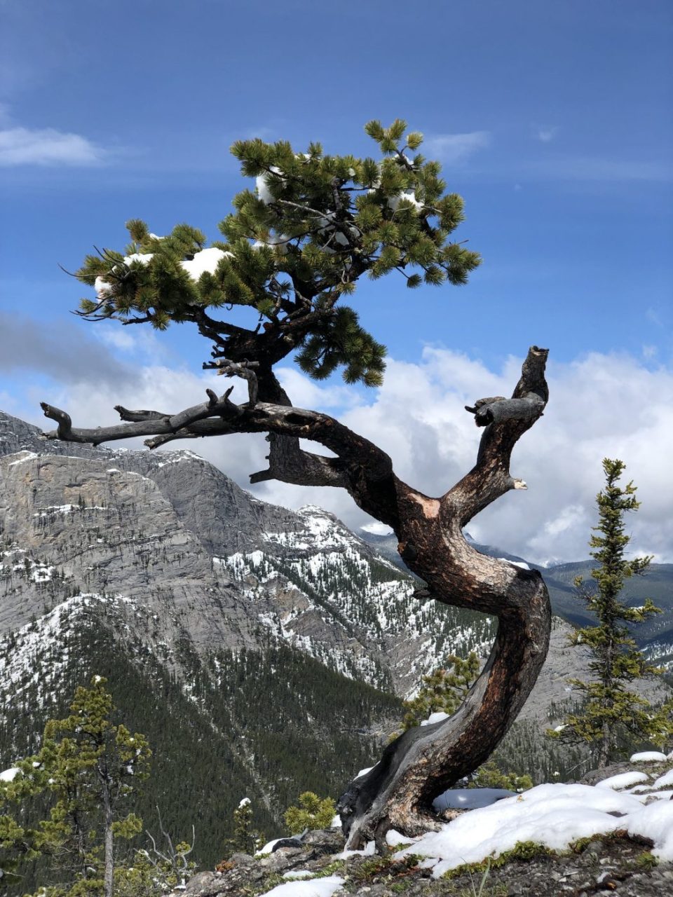
- some of the trees on the ridge are more artistic than any other hike I have been on from the exposed wind on the ridge (it’s like being in a tree art gallery)
- there was a chap, who we estimated to be in his 50’s, who was ‘running’ up the trail and doing it twice just for shits and giggles
- we ended up having a glorious sunny day despite what the weather forecasts showed (thankfully we pay little attention to the forecast)
- we decided we are going to have two signs made up to allow us to enjoy the trails we head out on all to ourselves (Bear in Area and Weather Warning in Effect)