September 24, 2025
In
Outdoor Edventures
Tryst Lake Hike
Where
- Tryst Lake Hike
When:
- September 24, 2025
Who:
- Ed, Erin, Neil, Peter, Lisa, Carolyn, Roger, Sunday
Trailhead:
- the trailhead is 38 km south of Canmore on Highway 742 (Smith Dorrien, Spray Lakes Road)
- at 37 km you turn right onto the Mt. Engadine/Mount Shark road
- head across the bridge and around a bend where the parking lot is on your left hand side (900 meters from the turnoff)
- the trail leads out of the far end of the parking lot along an old logging road and is flat for the first (biking this section is a good option)
- after 1.6 km, look for a cairn and blue flagging where you turn right and start the climb up the valley to the lake
Degree of difficulty:
- 8.3 km
- 475 meters of elevation
- it is flat for the first 1.6 km, and then it climbs for 1.4 km over 350 meters to the lake
- at the lake, we took the trail to the left that led up to Tryst Ridge and added another 125 meters
- the hike took us three and a half hours

Interesting notes:
- Tryst Lake is named to commemorate a romantic meeting of two lovers who visited the lake one snowy June day, as the name reflects the intimate nature of the encounter, as ‘tryst’ refers to a rendezvous
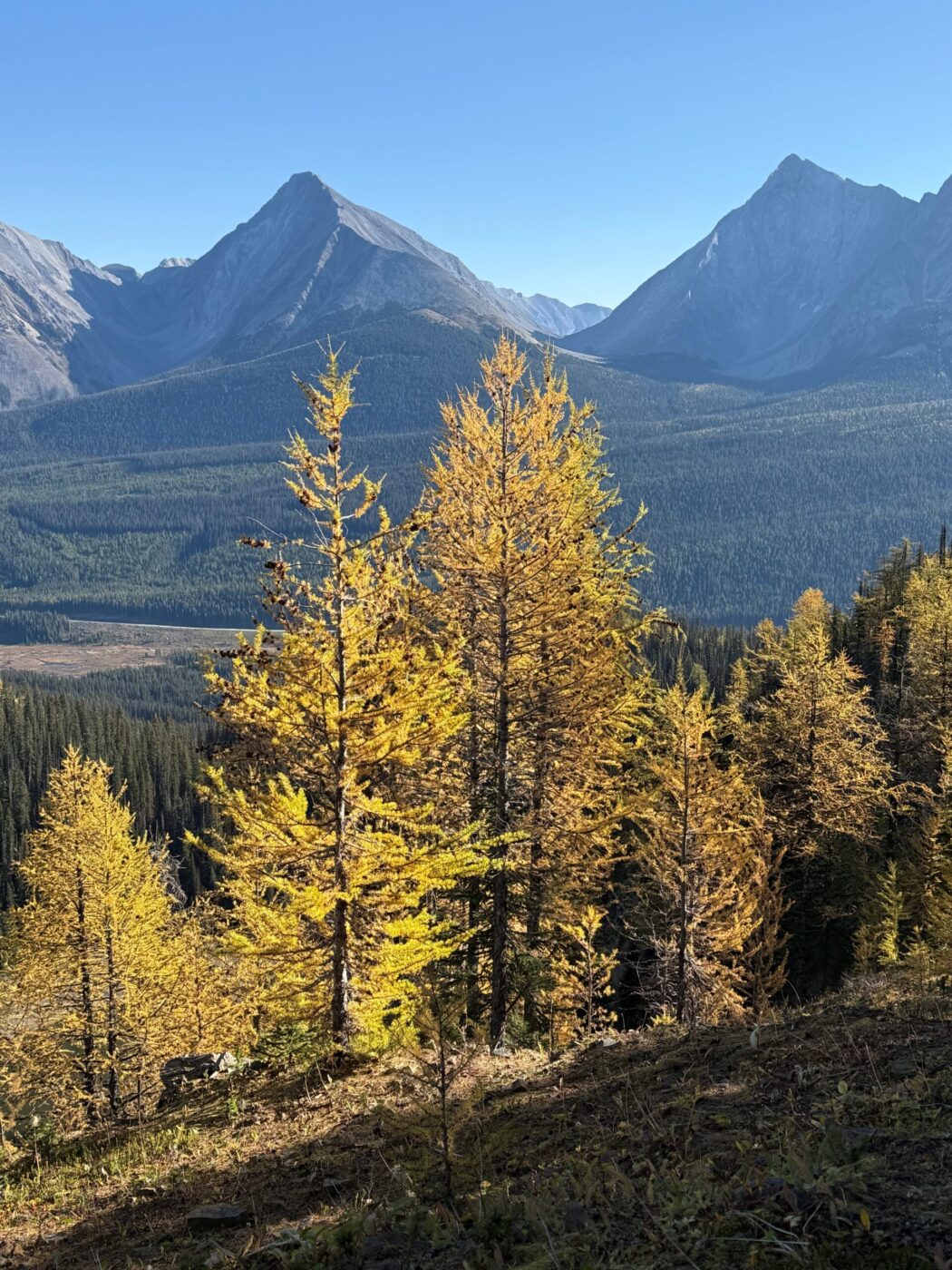
- Tryst Lake is situated at the base of Mt. Fist, which is a difficult scramble, but one we have added to the list of hikes to do
- the lake itself was nothing special, but the cirque it was in is very picturesque
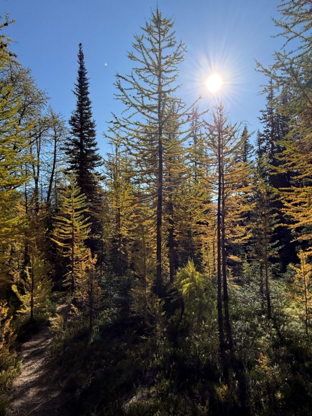
- the climb up onto Tryst Ridge was spectacular, as it contained a beautiful forest of larch trees across the entire ridge
- this hike is best done in the second half of September during the larch season