January 24, 2026
In
Outdoor Edventures
Troll Falls Hike
Where:
- Troll Falls
When:
- January 24, 2026
Who:
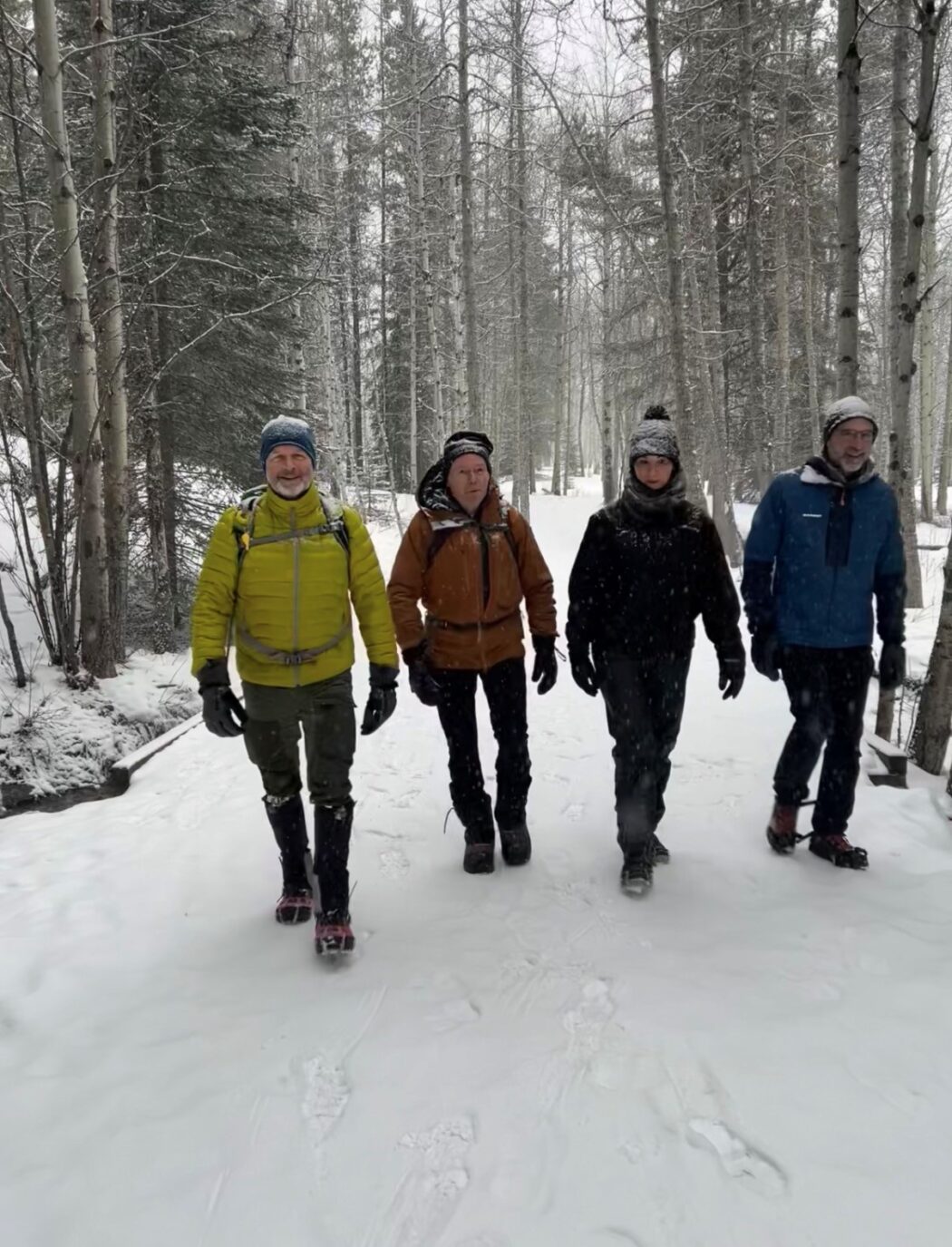
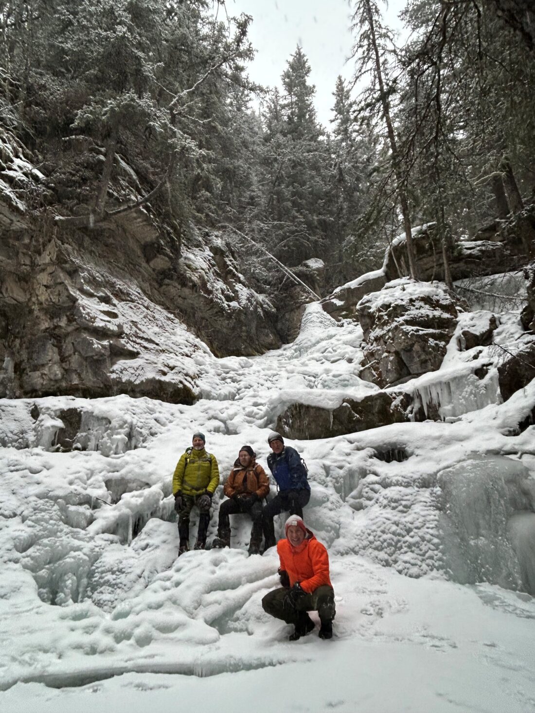
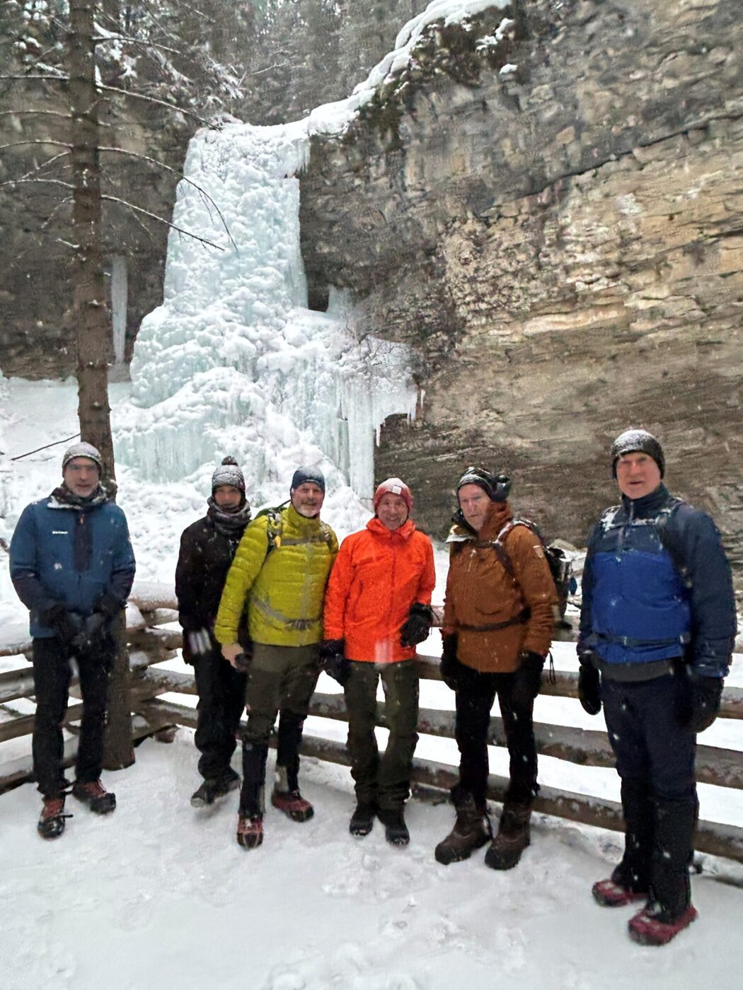
- Ed, Craig, Neil, Rod, Dave, Kellie, Erin
Trailhead:
- take Highway 40 south from Highway 1 for 22 km
- turn right onto Mt. Allan Drive for 2.1 km
- turn right onto a partially restricted usage road for 550 meters to a parking area
- the trail starts on the left (west) side of the parking area by the outhouse
Degree of difficulty:
- 115 meters to the upper falls
- 4.3 km return
- 1 hour on the trail
- flat wide trail to the lower falls and then a gradual climb to the upper falls
- bit slick up the climb and most of the smart people (not me) had spikes on
- Super Dave exhibited two falls on the ice just to warn us of the danger (such a thoughtful guy…ha ha)
Interesting notes:
- very gentle hike that would be good for young kids or anyone who is just out for a casual stroll
- the hike is in the trees the whole way, which results in limited views and we had a snowy overcast day that had us socked in
- Troll Falls is named by local cross-country skier and trail builder Dan Gardner, who was inspired by a nearby rock formation that resembles a troll’s head, likely influenced by Norweigian folklore following his return from Norway
- the falls are part of a series of cascades on Marmot Creek, formerly known by the Stoney Nakoda as the ‘Place of Many Bears’