December 18, 2021
In
Outdoor Edventures
Spencer Creek Snowshoe
Where:
- Spencer Creek
When:
- December 18, 2021
Who:
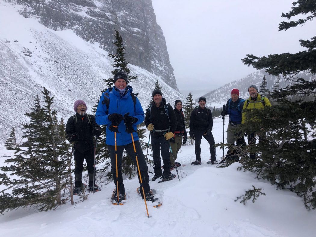
- Ed, An, Eldon, Craig, Rod, Bauer, Dave, Kirk, Roger
Trailhead:
- the trailhead is on the Spray Lakes Road and is 16 km south of the Goat Creek parking lot, and 4.4 km south of the Driftwood parking lot
- the trailhead is not marked, and this trail is not in the guide books or on the trail maps
- look for a large washed out creek bed on the left (east) side of the road and the trail is on the left side of the creek bed
- if you get to the Sparrowhawk parking lot you have gone too far, so retreat 2 km back towards Canmore
Degree of difficulty:
- 600 meters of elevation gain and 9 km distance if you go all the way to the end of the valley (we did about 7 km on this day as we only got partway into the upper valley)
- the trail is not well marked so it’s easy to lose the trail in the wintertime which we did for most of the second half of the hike
- after a short distance (350 meters), the trail crosses the High Rockies biking trail, so be careful to continue up the valley and be careful on the return voyage to not turn onto the biking trail
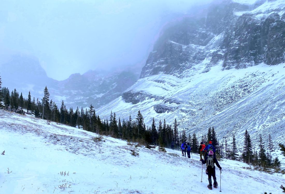
- there are a few shorts climbs and some portions of the trail that are on a narrow path along steeper sections of the creekbed where one needs to be watching the trail and not the beautiful scenery, especially in the slippery winter conditions
- the hike took us 3.5 hours as we had to manage thru some tricky sections
Interesting notes:
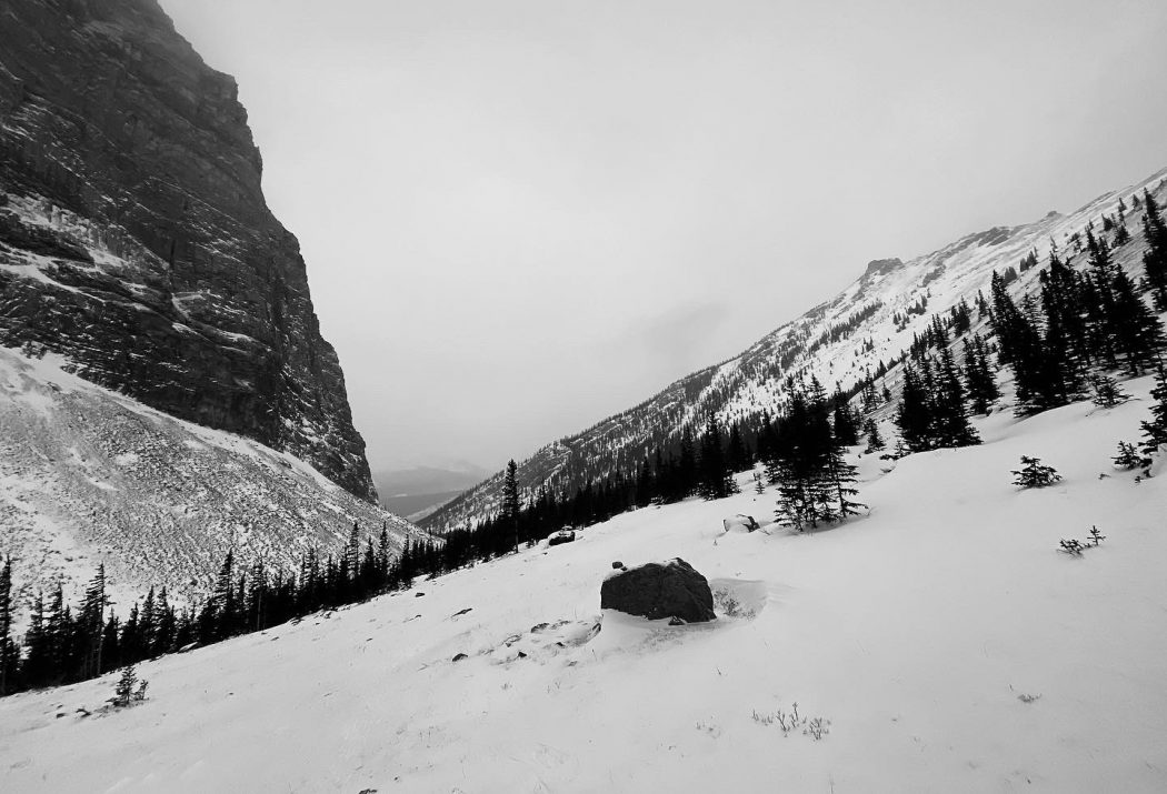
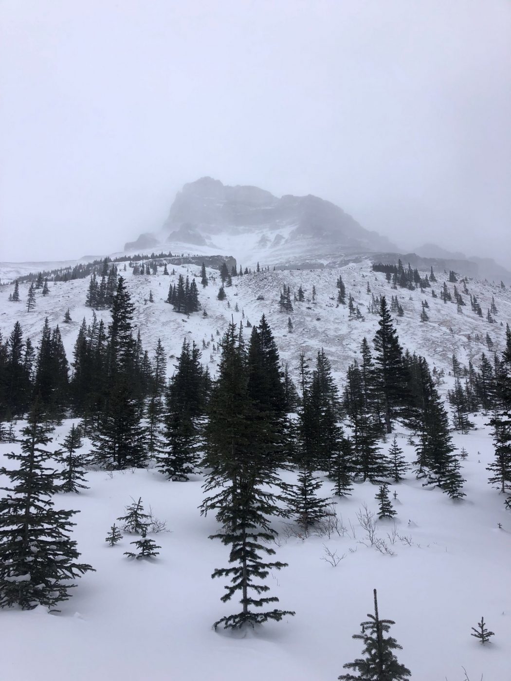
- Spencer Creek is majestically flanked by the majestic Mt. Lougheed range to the north, Wind Mountain to the East, and the Sparrowhawk range to the south
- the trail was initially built for scramblers to gain access to Mt. Lougheed and this appears to be the reason that it is not an official trail
- near the start of the hike, there is a moss area with a gentle creek running thru it that is one of the most beautiful features of any hike I have ever done, especially if the sun is shining which it was not on this day
- the views are very impressive for most of the hike, and the U shaped valley at the end is very picturesque