June 16, 2019
In
Outdoor Edventures
Spencer Creek Hike
Where:
- Spencer Creek
When:
- June 15, 2019
Who:
- Ed, Geoff, Lynn, Ian, Peter, Oggie, Darcy, Jeff, Pam, Les, Jodi
Trailhead:
- the trailhead is on the Spray Lakes Road and is 16 km south of the Goat Creek parking lot, and 4.4 km south of the Driftwood parking lot
- the trailhead is not marked, and this trail is not in the guide books or on the trail maps
- look for a large washed out creek bed on the left (east) side of the road and the trail is on the left side of the creek bed
- if you get to the Sparrowhawk parking lot you have gone too far, so retreat 2 km back towards Canmore
Degree of difficulty:
- 600 meters of elevation gain and 9 km distance if you go all the way to the end of the valley
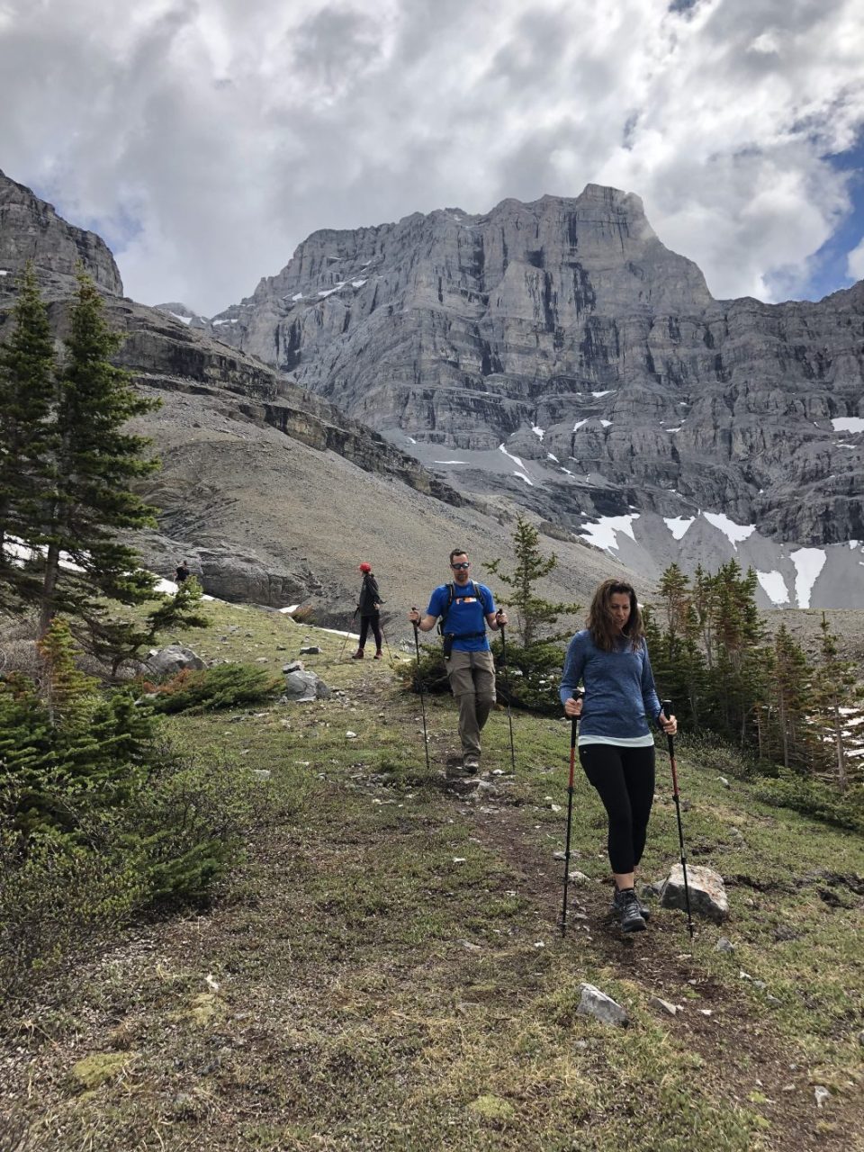
- the trail is fairly moderate and well marked and maintained despite not being a well-known trail
- after a short distance (350 meters), the trail crosses the High Rockies biking trail so be careful to continue up the valley and be careful on the return voyage to not turn onto the biking trail as a couple of our lads did last year (Eldon and Michael will remain nameless)
- there are a few shorts climbs and some portions of the trail that are on a narrow trail along steeper sections of the creekbed where one needs to be watching the trail and not the beautiful scenery
- near the end of the valley, the footing is tricky along the creek, and there are two creekbed crossings that are more challenging at this time of the year due to the flow of the creek from the runoff
- you need to be careful to cross in the correct spots which are marked with rock piles (I threw down an extra rock on one of the crossings to add to the rock bridge)
- this is a good trail for most levels of hikers above beginner level and with a reasonable level of fitness
- the hike took us 3 hours, and we moved at a fairly leisurely pace
Interesting notes:
- it took several years to discover this trail as we saw cars parked at the side of the road but never saw it on any of our trail books or maps
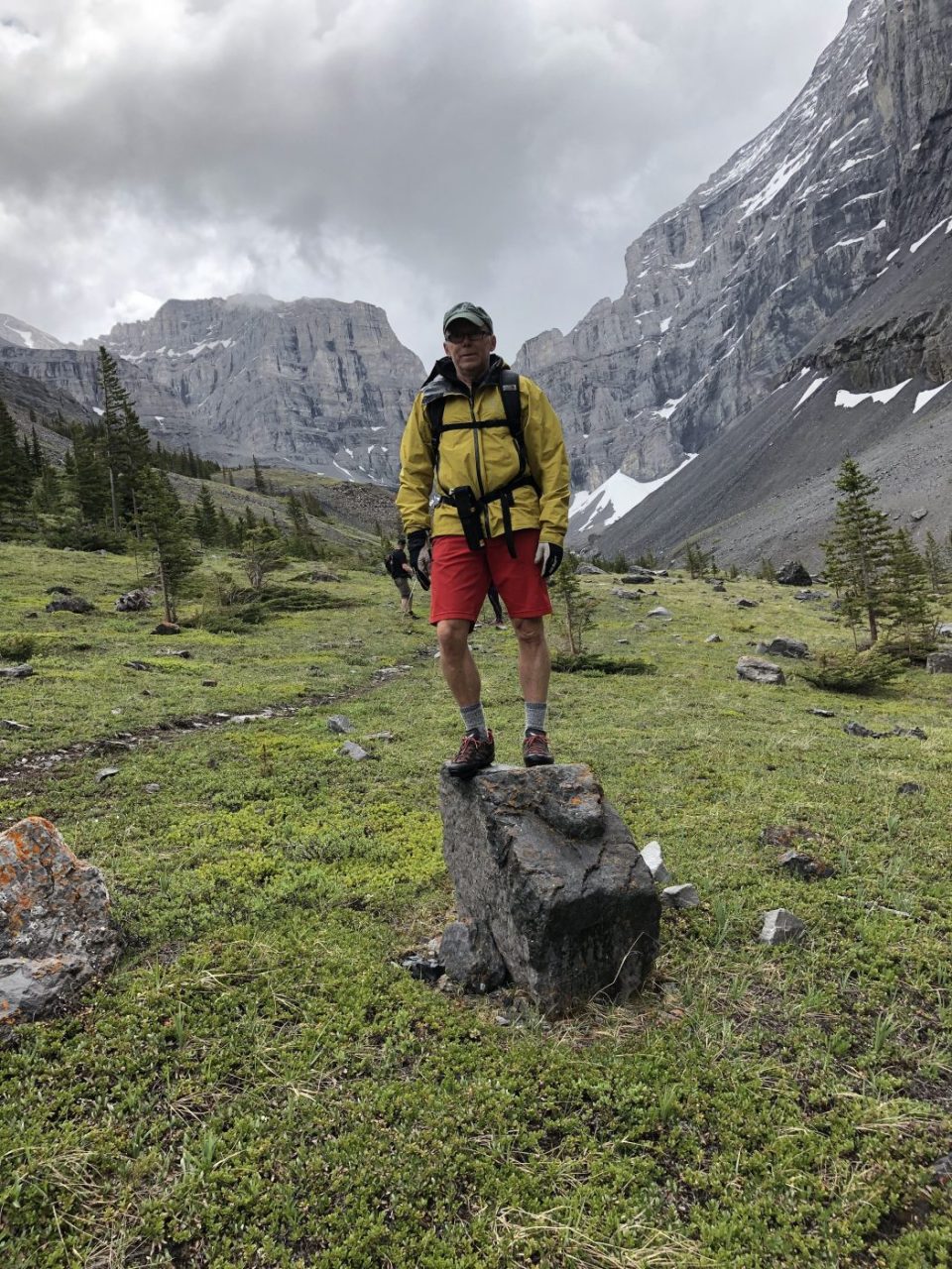
- Spencer Creek is majestically flanked by the Mt. Lougheed range to the north and the Sparrowhawk range to the south
- the trail was initially built for scramblers to gain access to Mt. Lougheed and this appears to be the reason that it is not an official trail
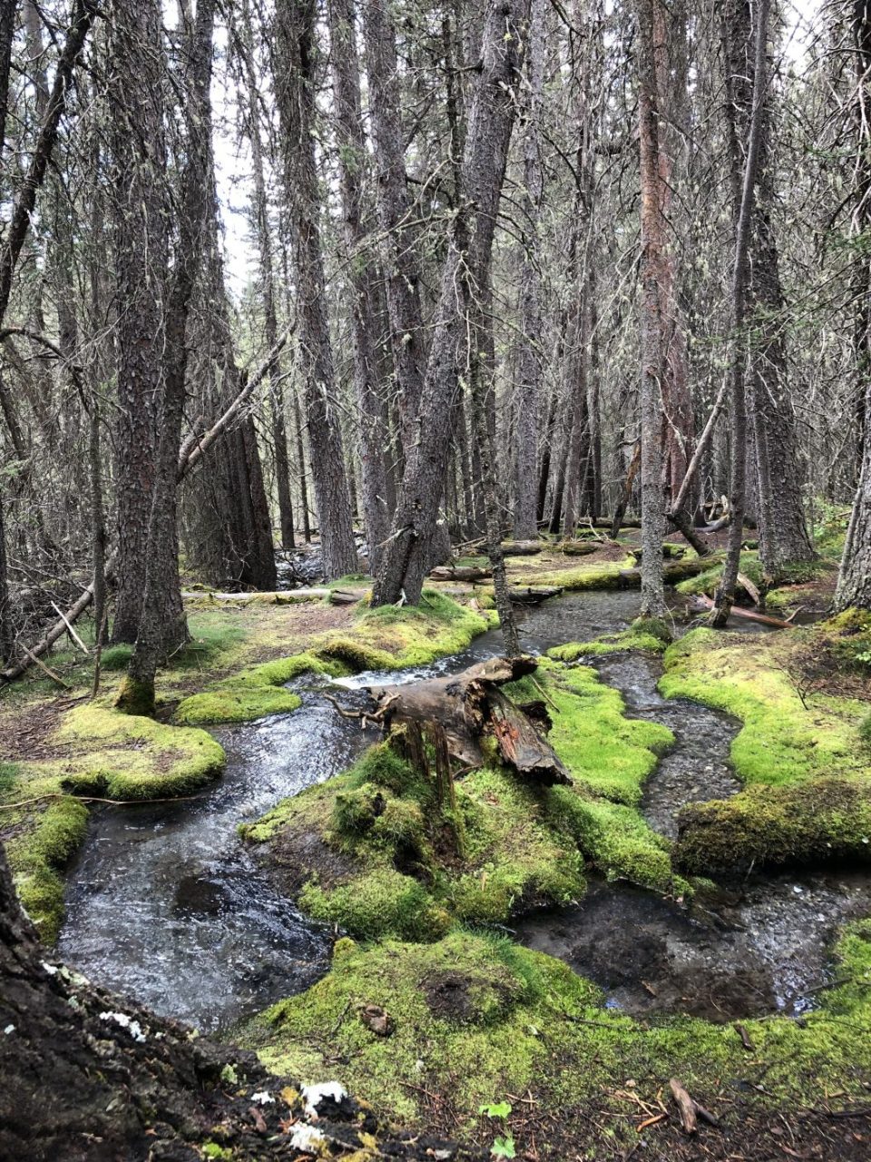
- near the start of the hike, there is a moss area with a gentle creek running thru it that is one of the most beautiful features of any hike I have ever done, especially if the sun is shining thru the trees
- the views are very impressive for most of the hike, and the U shaped valley at the end is very picturesque
- our typical lunch spot is at the end of the valley on the left-hand side where a nice waterfall is nestled into the mountain (on this day a snow chute cut our destination short)