November 28, 2020
In
Outdoor Edventures
Ranger Summit/Strange Brew/Boundary Ridge Hike
Where:
- Ranger Summit/Strange Brew/Boundary Ridge Hike
When:
- November 28, 2020
Who:
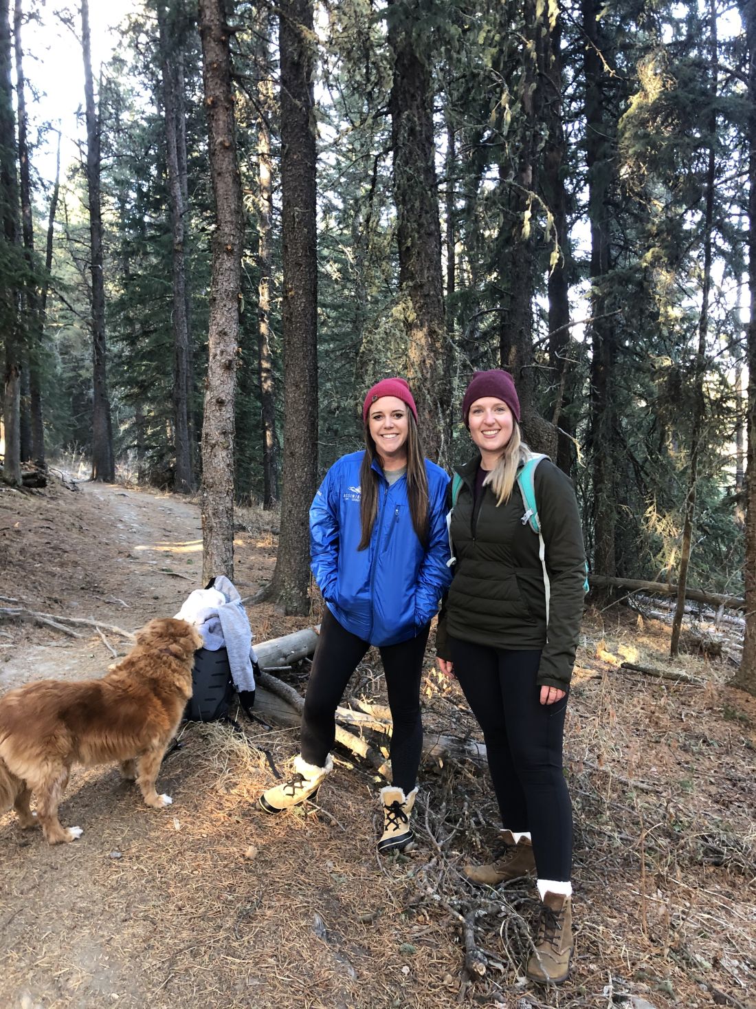
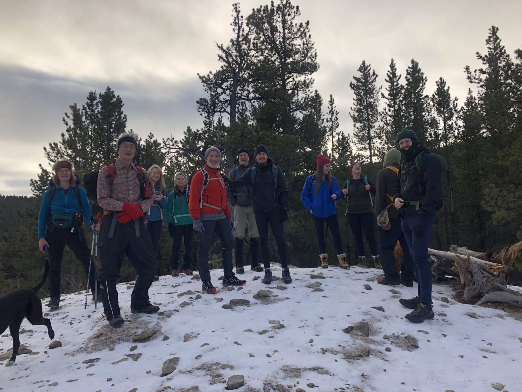
- Ed, Jace, Ian, Tomonori, Fiona, Robyn, Heather, Rod, Bauer, Dave, Phil, Wyatt, Lisa, Peggy
Trailhead:
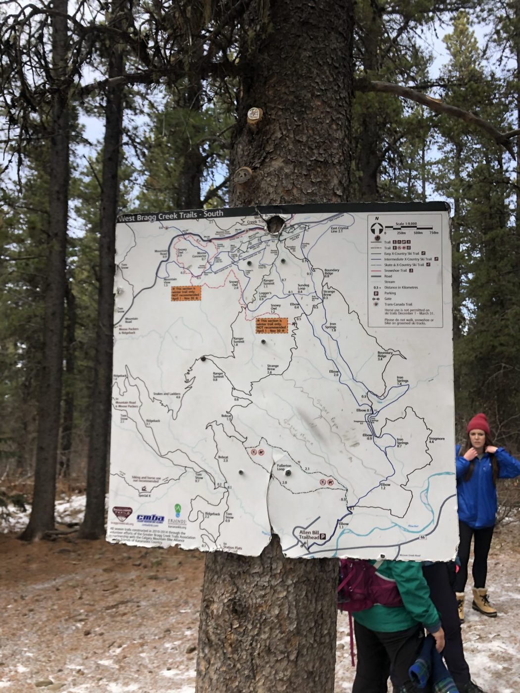
- the parking lot is at the end of West Bragg Creek Road (take the road through Bragg Creek across the bridge, turn left and follow the road for 10 km to the end)
- the trailhead is at the far left end of the parking lot,
- start by crossing the bridge, and after 50 meters, head straight through the four-way intersection to continue on the Ranger Summit trail
Degree of difficulty:
- 375 meters of elevation gain
- 9.3 km total distance
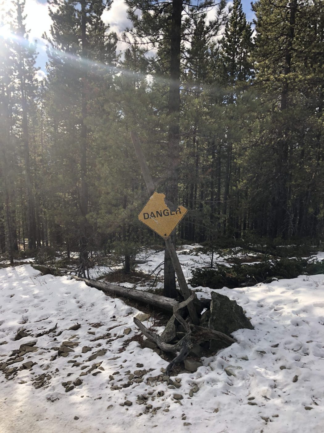
- pay attention to the trail signs as several other trails intersect this route
- one of our group members described the vast amount of crossing trails as a bowl of spaghetti
- the trail is relatively moderate and well-marked
- the outbound leg is a steady but not steep climb
- there was minimal snow cover but lots of icy sections that made it tricky for those of us that didn’t use spikes
- you need to be careful to watch for bikers and especially as they come barreling down the hill on the return section
- the hike took us 3 hours, and we moved at a reasonably leisurely pace
Interesting notes:
- this series of trails are best done in the counterclockwise direction
- halfway up to Ranger Summit, there is a lookout mound with good views of West Bragg Creek and Moose Mountain
- at the top (Baruch’s Corner on the Strange Brew section) you get a good view of Banded Peak in the Kananaskis Range to the west, along with some rock slab chairs to relax on
- the trail is close to Calgary, which makes for a shorter day if you are pressed for time