January 29, 2022
In
Outdoor Edventures
Mount Yamnuska Hike
Where:
- Mount Yamnuska
When:
- January 29, 2022
Who:
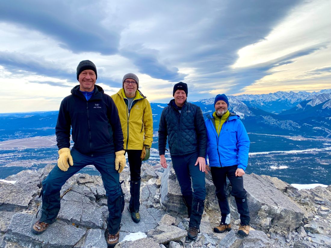
- Ed, An, Erin, Craig, Kirk, Roger, Oak
Trailhead:
- from Calgary, take Highway 1 West, turn off at the Seebe overpass and cross the Bow River then turn right onto Highway 1A and the parking lot is a few km on the left hand side
- from Canmore, take the 1A Highway for 26 km to the parking lot on the left-hand side of the road
- the trailhead starts out of the far end of the parking lot and the whole trail is well marked with signage and blue markers
Degree of difficulty:
- 10 km
- 900 meters
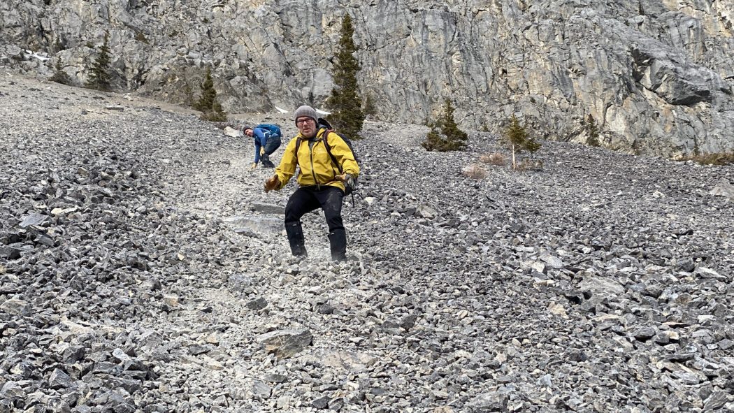
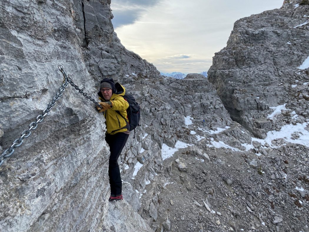
- this is the most difficult trail I’ve ever done with lots of elevation, tight fit through what’s known as ‘the chimney’, rock ledges, tricky footing (especially on this icy day as well as the shale on the front side), and a cliff that you cross holding a chain
- I would not recommend this hike for anyone other than advanced hikers
- it took us 4.5 hours round trip
- we got to the top in two hours and twenty minutes
- there is a new route on the descent that allows you to avoid the shale, although that is a super fun section
Interesting notes:
- gaiters are highly recommended for the shale descent
- Mount Yamnuska is a picturesque standalone mountain with a sheer rockface that is one of the first mountains you notice as you enter the Rocky Mountain Range, and it is often bathed in sunshine, which makes it incredibly impressive
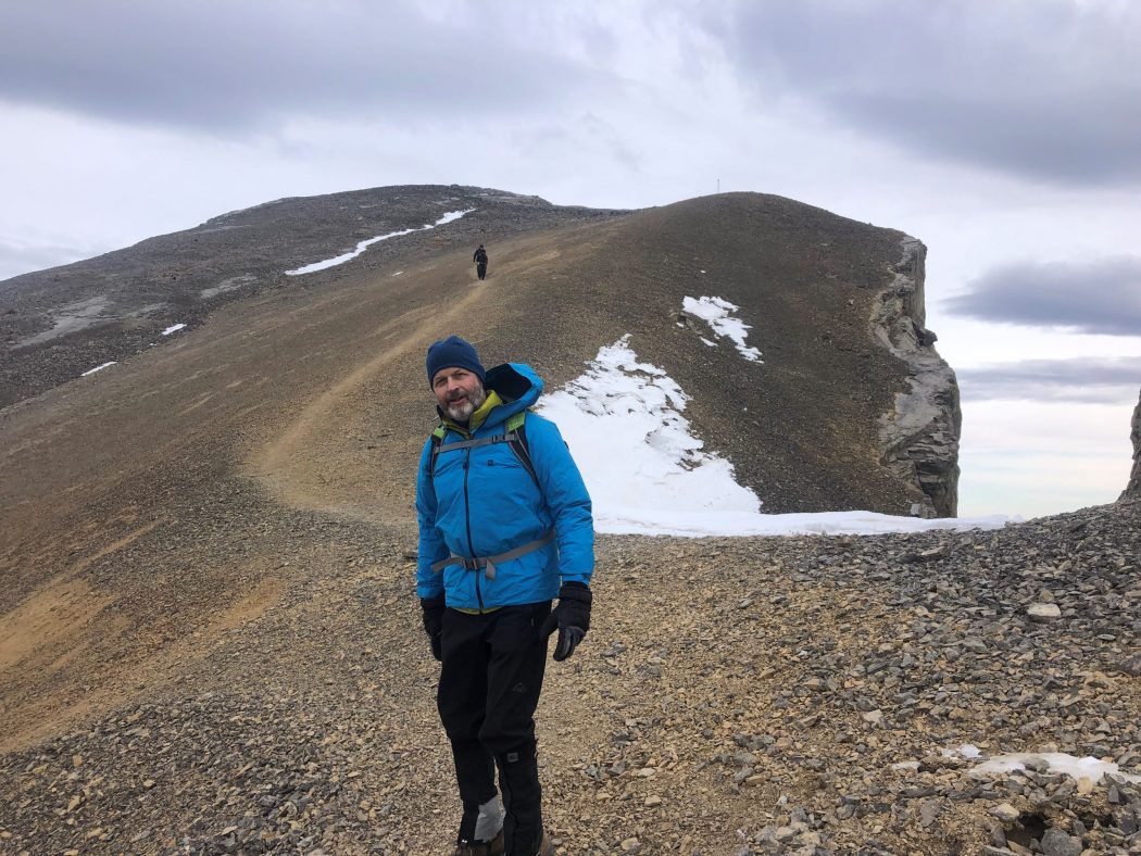
- there are 360-degree views of every mountain peak in the area from the top
- the mountain is famous in climbing circles for its multitude of routes (over 130)
- Yamnuska translates to ‘wall of stone’ and is derived from the Stoney Nakoda word ‘lyamnathka’ that describes steep cliffs or flat-faced mountains