August 13, 2023
In
Outdoor Edventures
Junction Lake Hike
Where:
- Junction Lake
When:
- August 10, 2023
Who:
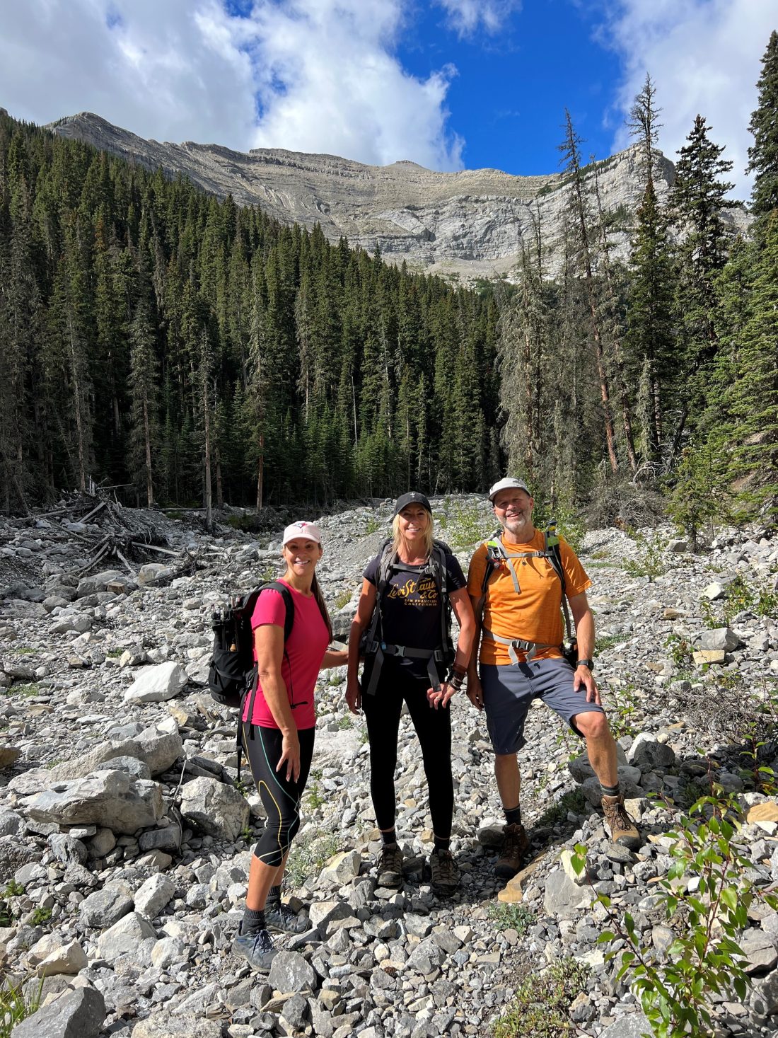
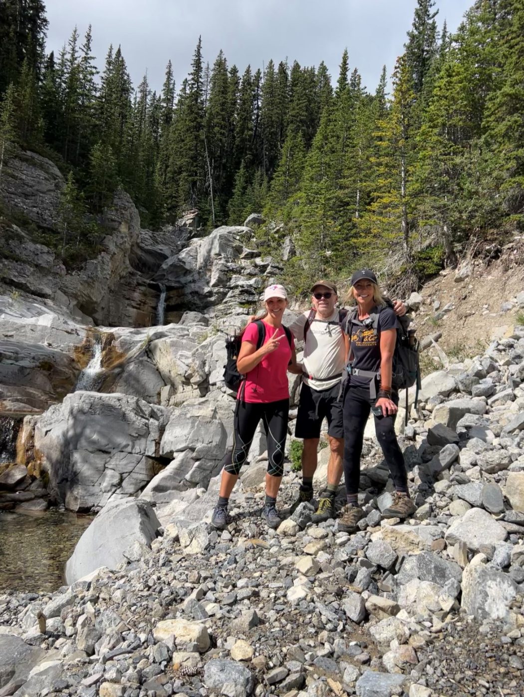
- Ed, Craig, Kellie, Erin
Trailhead:
- from Turner Valley, take Highway 546 West for 38 km
- from the parking lot, you immediately drop down an embankment and cross the Sheep River, which requires some water shoes
- once across the river, the trail starts through the trees into the forest
Degree of difficulty:
- 775 meters of elevation gain to the lake, but we were just shy of this
- 14 km round trip, but it would have been another 4 km if we had gotten to the lake
- the hike took us five hours
- we didn’t finish the hike (2-3 km short of Junction Lake) as I had a time constraint
- it starts on the road that turns into a path and is fairly flat for the first 4 km before entering a creekbed
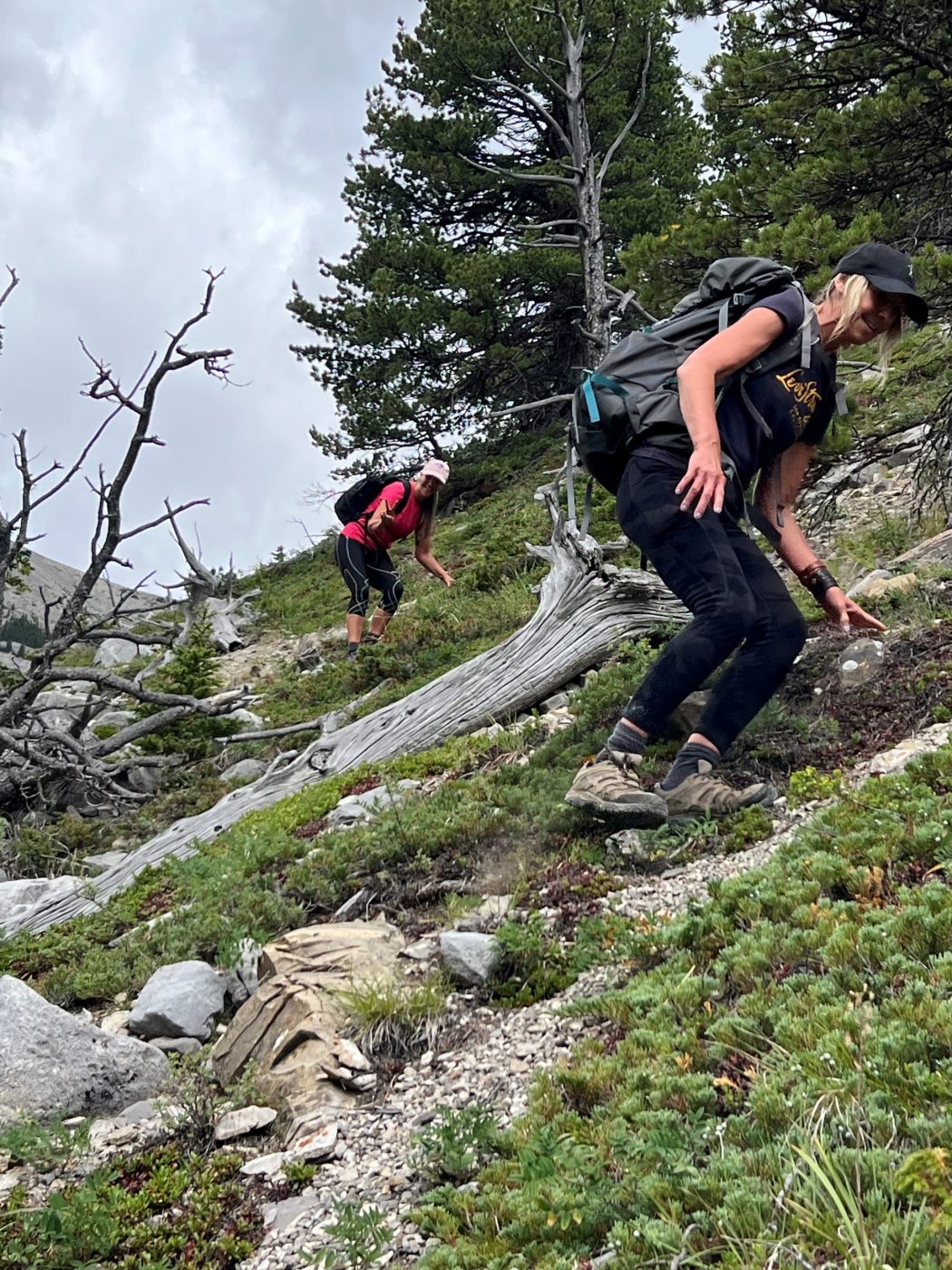
- the footing in the creekbed is tricky as you have to navigate over and around some large rocks/boulders
Interesting notes:
- this was my first time doing this hike, and it’s tricky to find the trail once you are in the creekbed and then to make the left turn into the upper valley
- after the big waterfall, we scrambled up the right-side embankment until we realized that we should have gone left, and this added a half hour of treacherous climbing and descending
- once we found the trail it was smooth sailing in the upper valley with some beautiful views of the cirque that Junction Lake sits in
- this is a tricky trail to follow, so I would advise downloading a good GPS map
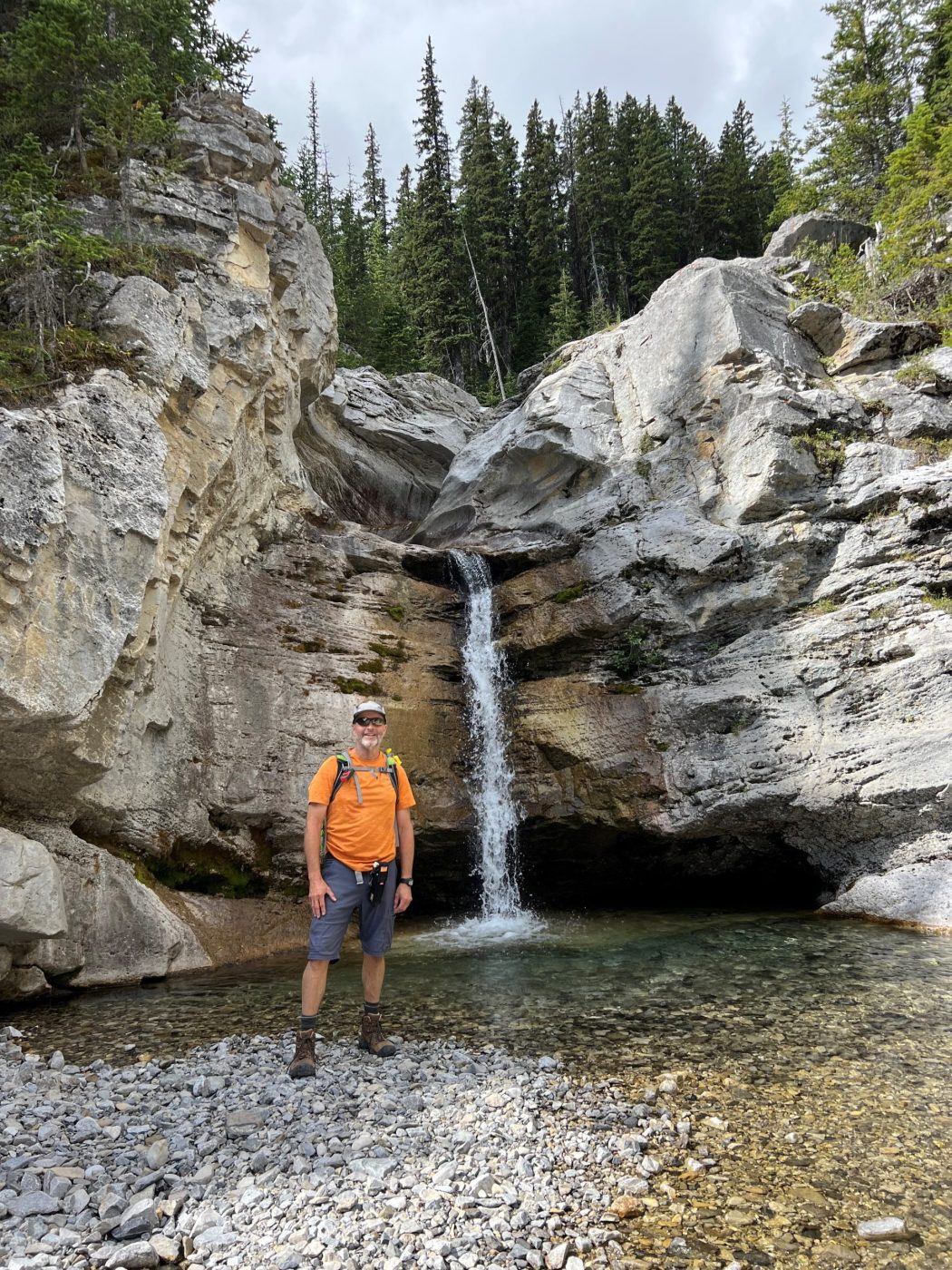
- there are lots of beautiful waterfalls along Junction Creek
- Junction Creek flows through the valley into the Sheep River, but Junction Falls, Junction Lake, and Junction Mountain are all in different parts of the valley which is very confusing