November 9, 2025
In
Outdoor Edventures
Canyon Creek Peaks Hike
Where:
- Canyon Creek Peaks
When:
- November 8, 2025
Who:
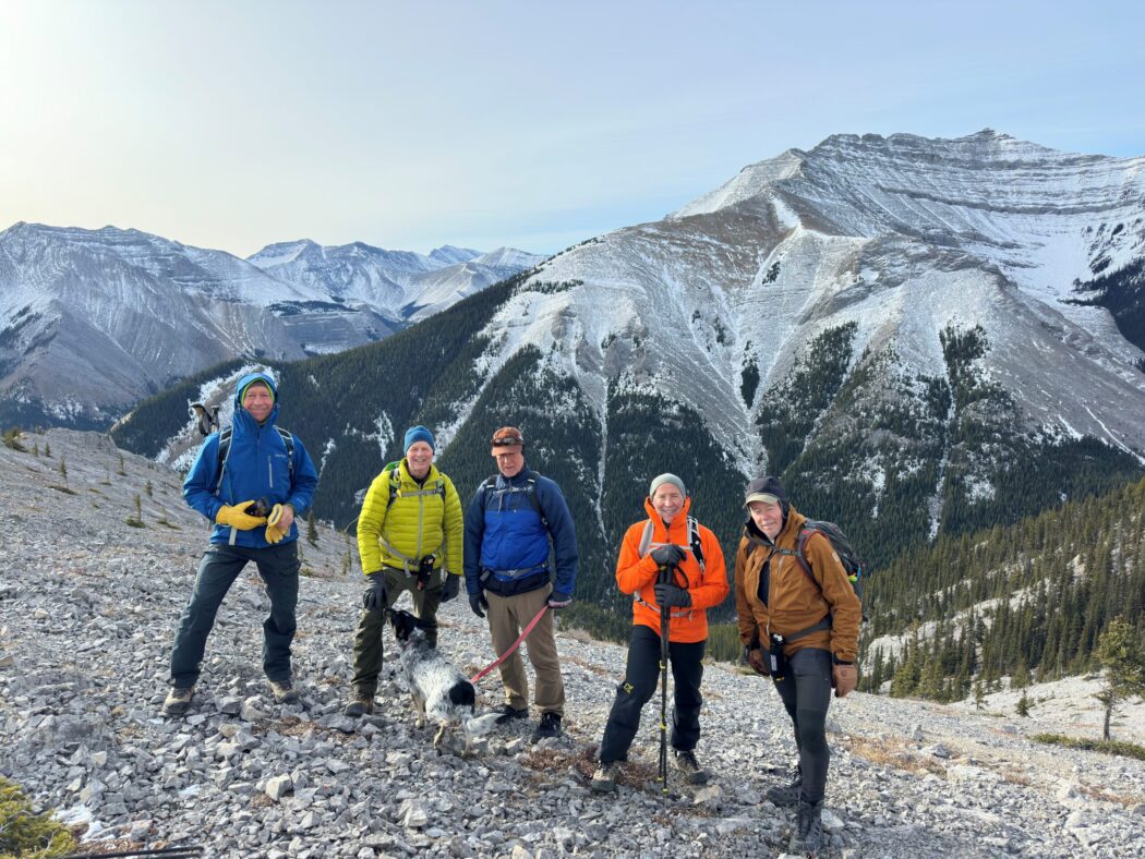
- Ed, Craig, Dave, Rod, Dally, Erin, Roger
Trailhead:
- from Bragg Creek, head south on Highway 22, then turn right onto Highway 66, and then turn north onto Powderface Trail for 15 km
- the parking area is on the right (east) side of the road on a good sized pull out
- the trailhead starts up across the road on a dry creek bed
- follow the left (south) side of the creek bed for a couple of km before reaching a cairn, where you turn right across the creek bed and up the valley, where you will pass another large cairn and then shortly after you have the option to continue up the creek bed or turn right up a steep slope (which we did) with a scant trail
- this is the route if you want to just access the first ridge or to do the cirque in a counter-clockwise direction
Degree of difficulty:
- 800 meters elevation (we did 450 meters to the end of the first ridge)
- 12 km round trip (we did 9 km)
- the hike took us 3.5 hours (the whole loop would likely take 5+ hours)
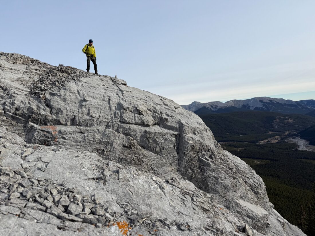
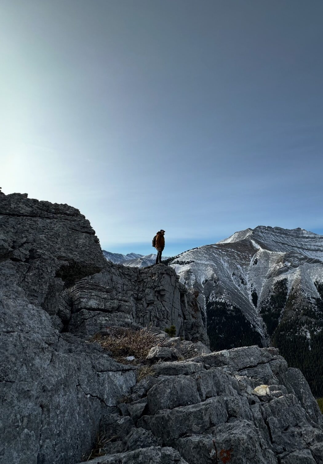
- the trail starts somewhat flat and then is a steep climb to the first ridge, followed by another steep climb and then a couple of other more moderate up and down ridges if you do the whole loop
Interesting notes:
- there are four unnamed peaks if you do the whole loop
- the trail offers views of Mount Bryant, Mount Lougheed, Belmore Brown, Tiara Peak, and the Powderface Range
- Canyon Creek is named because of the canyon that the creek is in, and the peaks are numbered instead of being named
- you can continue up the canyon creek bed to head to Bryant Lake
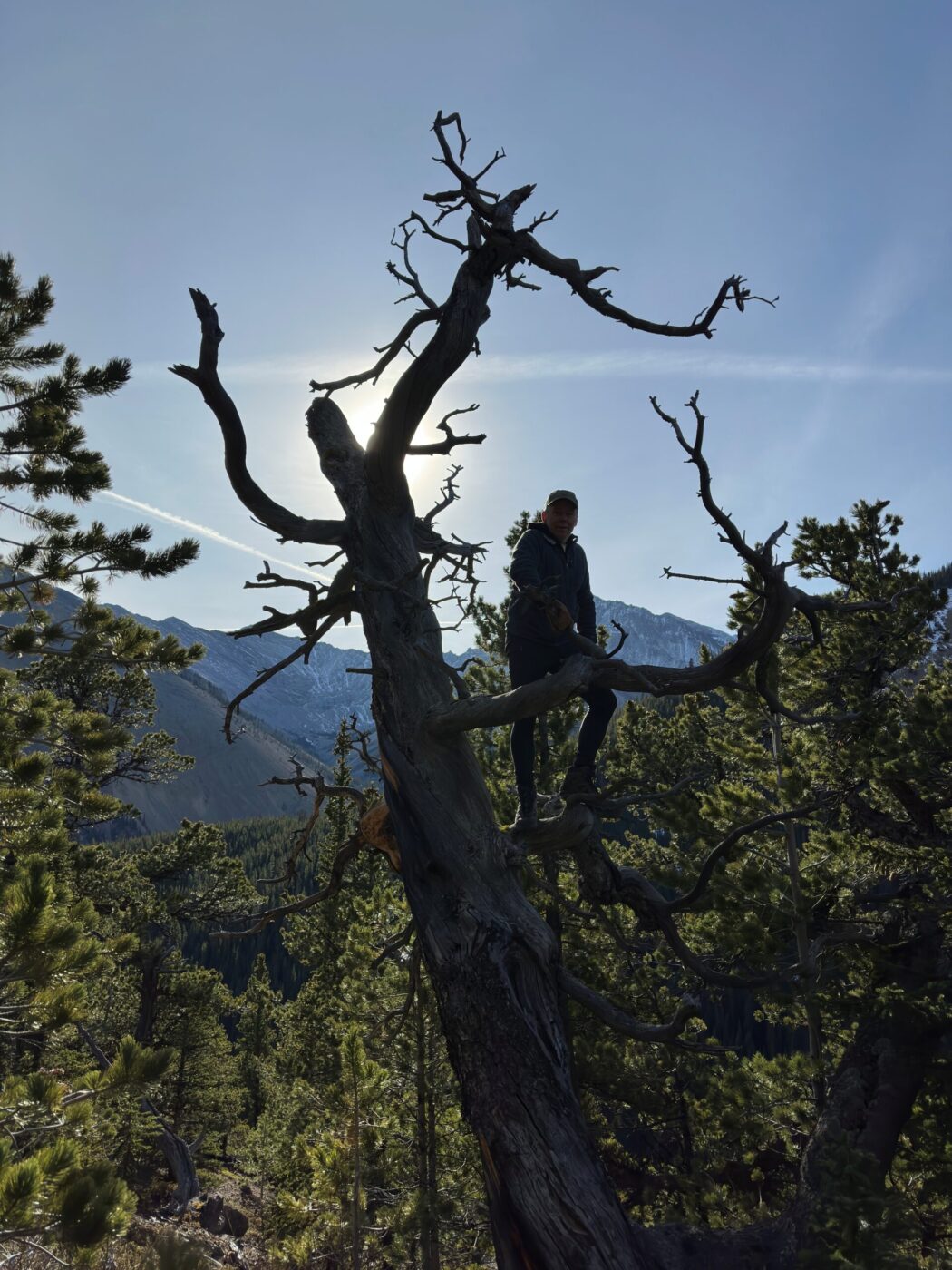
- this was a spectacular hike near Calgary, and yet there was nobody else on our ‘private’ trail