May 7, 2023
In
Outdoor Edventures
East End of Rundle Hike
Where:
- East End of Rundle
When:
- May 6, 2023
Who:
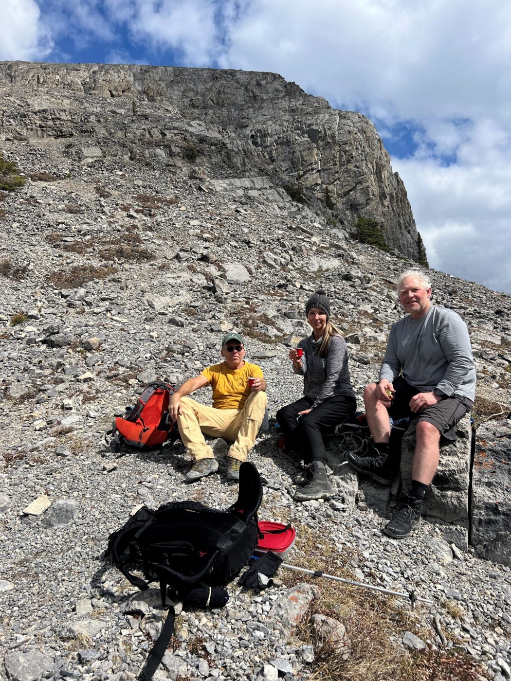
- Ed, Oak, Dave, Erin, Mike
Trailhead:
- 10 km (15 minutes) from downtown Canmore on the Smith Dorrien (Highway 742) road
- near the end of Whiteman’s Pond, the parking area is on the left-hand side, or if this is full, you can continue for 50 meters to the Goat Creek Day Use Area
- the trail starts between two flagged power poles at the south end of Whiteman’s Pond
- the trail is marked by small pieces of tape, painted rocks, and cairns
Degree of difficulty:
- 850 meters
- 5 km
- 4 hours total time on the trail
- it took us 2 hours to get to the peak and the same amount of time to get down, with a 15-minute lunch break on the way down
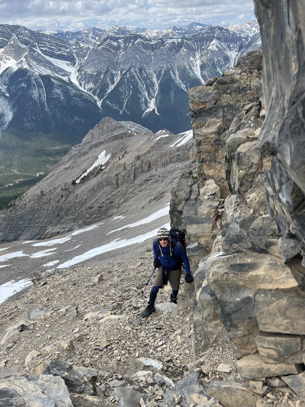
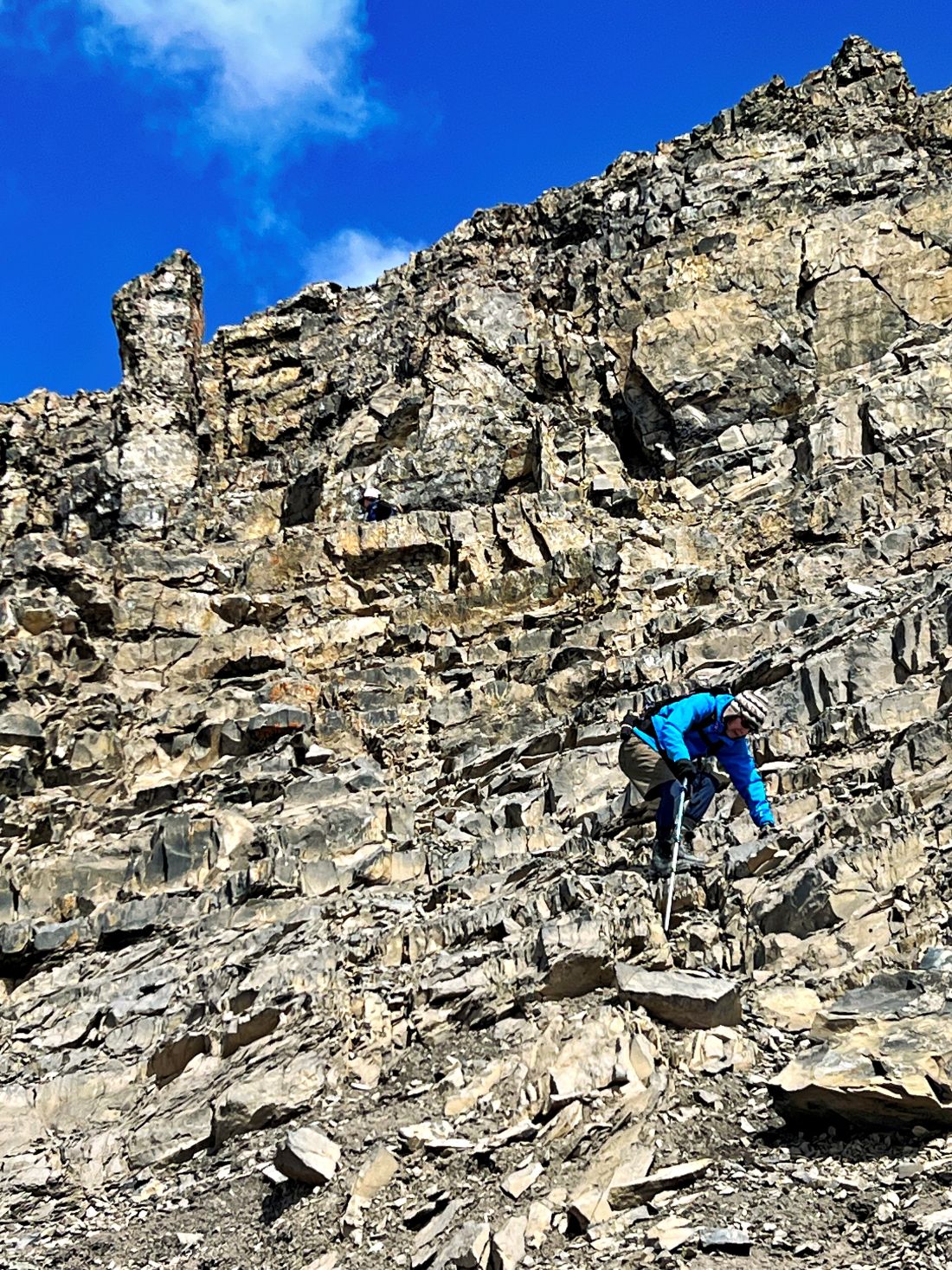
- it’s a steep hike right from the start, with switchbacks through the trees at the start until you break out onto the open scree slope
- the trail is well-maintained and relatively easy to follow but becomes a challenging scramble near the top
Interesting notes:
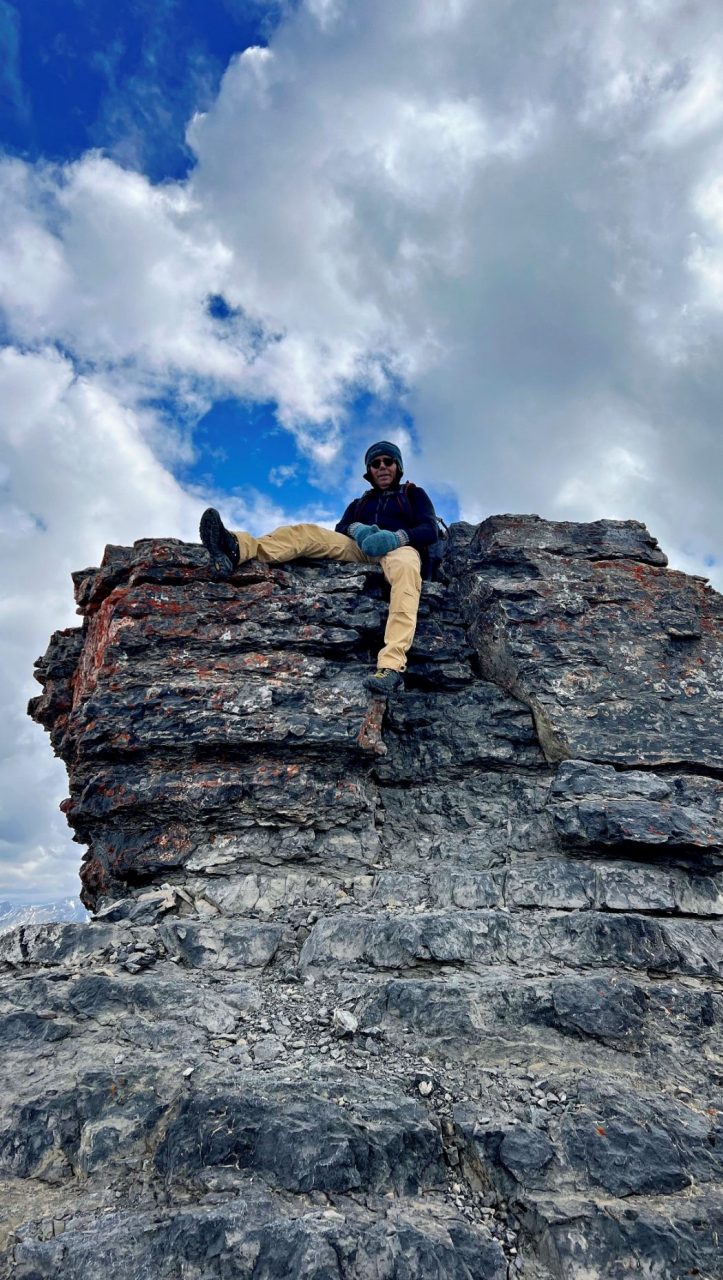
- the trail nickname is EEOR
- the Rundle Range has seven distinct peaks over 12 km
- many offshoots and goat trails lead to spectacular viewpoints
- the trail offers sweeping views of the Rundle Range, Canmore, the Bow Valley, and Ha Ling
- the naming of Mount Rundle is for Robert Rundle, a Methodist minister. It was named in 1858 by John Palliser. Rundle was invited by the Hudson’s Bay Company to do missionary work in the area. He introduced syllabics, a written language for the Cree and only visited the Banff area twice.