January 3, 2021
In
Outdoor Edventures
Fullerton Loop Hike
Where:
- Fullerton Loop
When:
- January 3, 2021
Who:
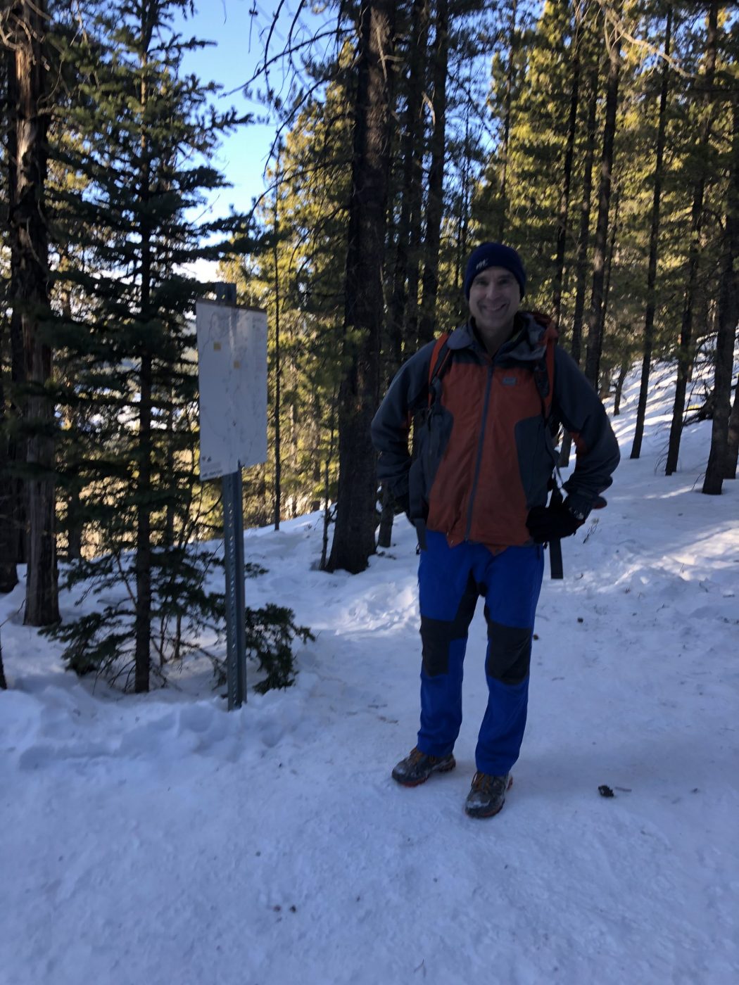
- Ed, Jace, Brad
Trailhead:
- a 45-minute drive from Calgary
- head west on Highway 8, turn south (left) at the traffic circle onto Highway 22, then west (right) onto Highway 66 (alternatively, you can take Highway 1 west and turn south onto Highway 22)
- 10 km along Highway 66 you cross over a bridge on the Elbow River and then turn right onto Ranger Creek Road (Fullerton sign is on the right-hand side of the road)
- the parking lot is across from the Allen Bill Day Use access road
- the trailhead is located to the left of the washrooms
- start on the main trail for 1.2 km and at the first junction turn left
- after another 250 meters, you come to the Fullerton Loop
- head counterclockwise to make for an easier climb
- there are various junctions on this trail, but they are well marked for the most part
Degree of difficulty:
- 225 meters elevation
- 7 km round trip
- the trail was packed down, so we chose to forego the snowshoes, and we were fine for the most part other than a few steep and icy sections along the ridge where Brad did perform one unanticipated body slam
- the hike took us two hours
- a moderate trail that is good for most levels of hikers
Interesting notes:
- the Fullerton Loop section of the trail does not allow bikers or horses, so that makes for a more pleasant stroll
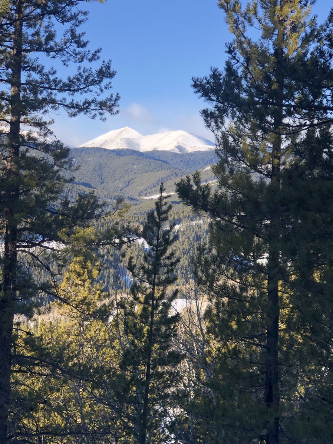
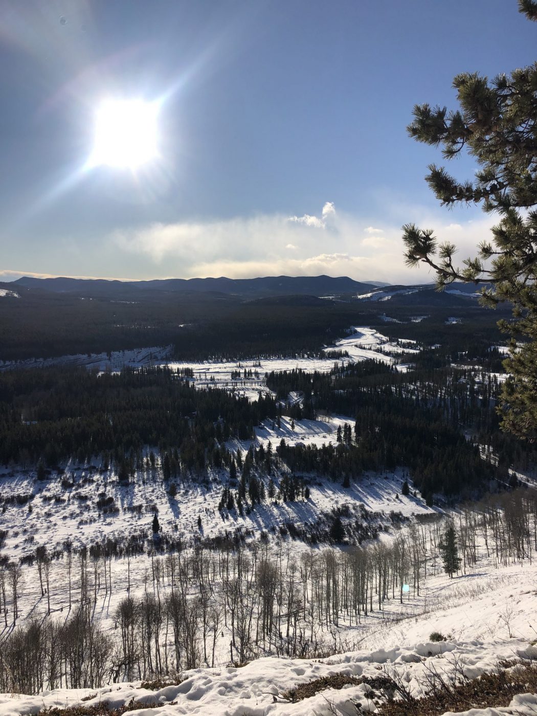
- there are views of Moose Mountain, Banded Peak, Prairie Mountain, and down the Elbow River
- the parking lot was packed, but people were spread out along the trail, so it didn’t seem busy