May 1, 2021
In
Outdoor Edventures
West Wind Pass Hike
Where:
- West Wind Pass
When:
- May 1, 2021
Who:
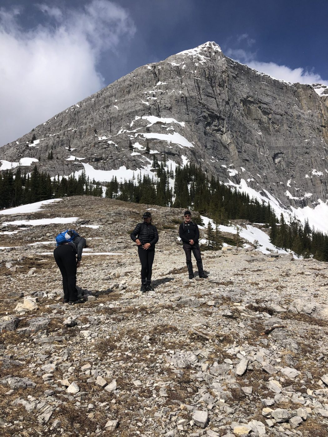
- Ed, Jace, Dave, Ian, Erin, Janet, Brenda, Mike, Angela, Tomonori, Rod, Bauer
Trailhead:
- 18 km from Canmore heading south on the Spray Lakes Road
- park on the right-hand side of the road, then cross the road
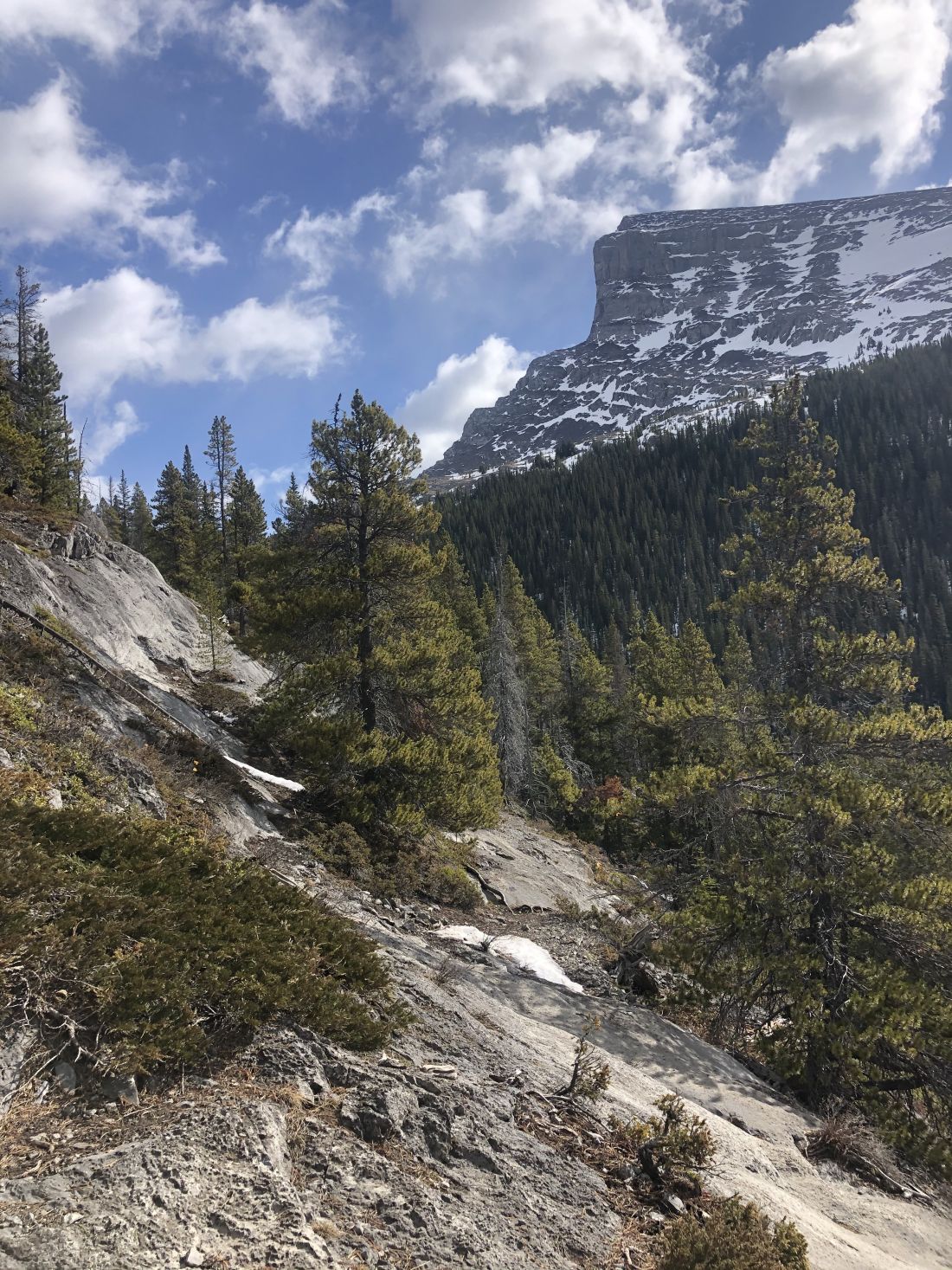
- we generally prefer the trail on the right-hand side of the valley on the left side of Spurling Creek, but there was too much snow and ice to take this route, so we went with the marked trail
- a few minutes up the trail, it crosses the High Rockies biking trail, so be sure to look for the sign that points to the trail up West Wind Pass
Degree of difficulty:
- 350 meters of elevation gain
- 5 km out and back
- the hike took us just under 2.5 hours
- the trail is a steady climb all the way to the pass
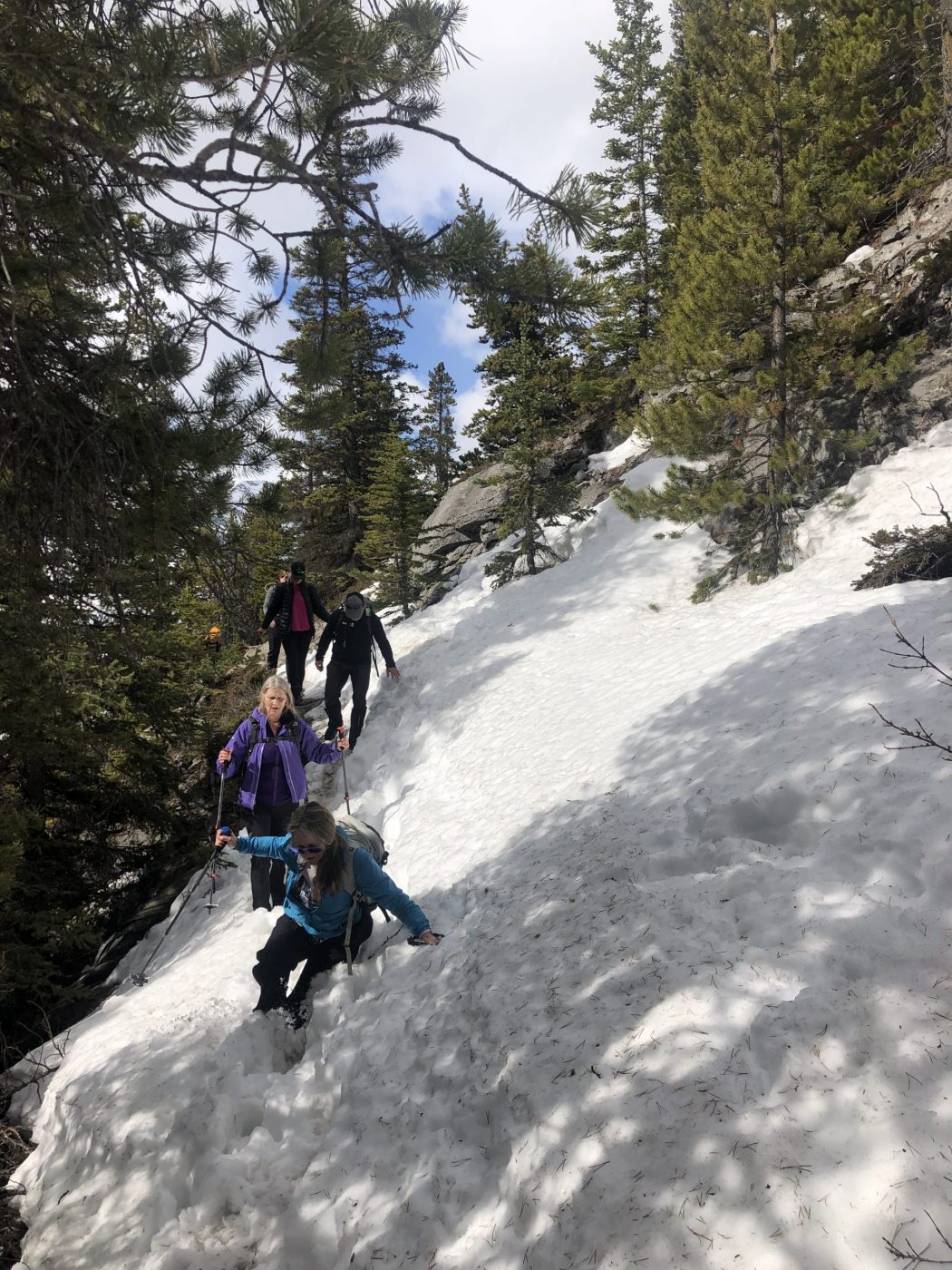
- on this day, we had to navigate some snow and icy sections, so a few people were happy to have their grippers on
Interesting notes:
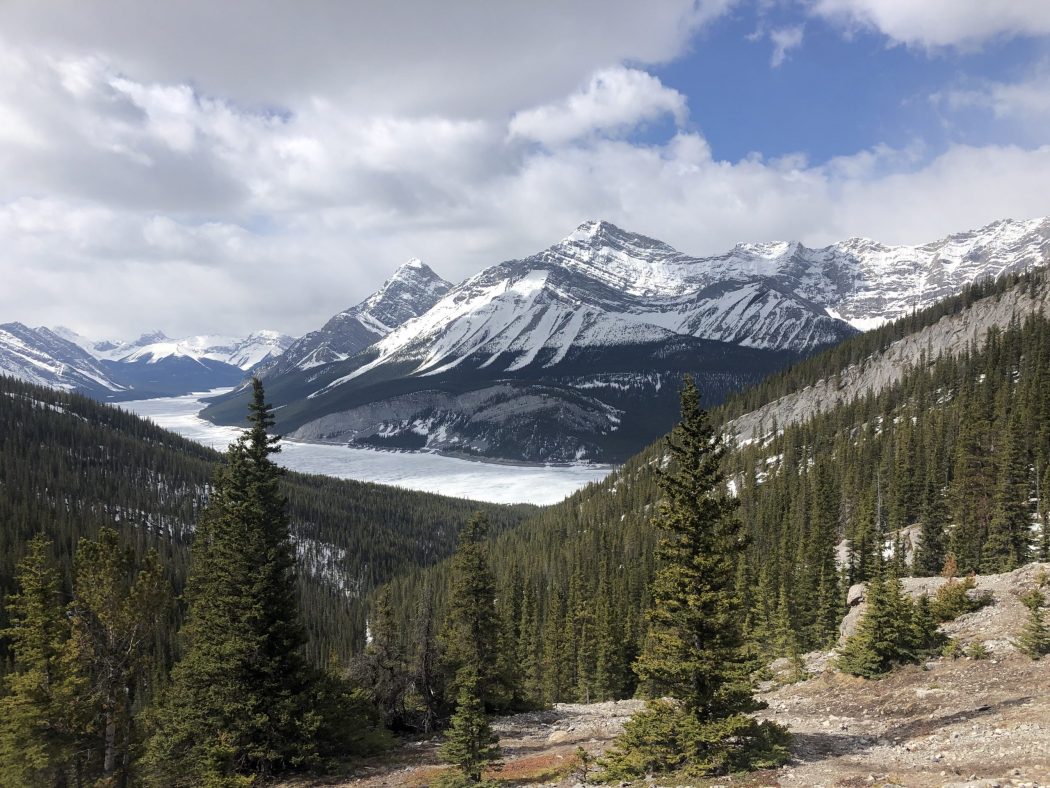
- there are great views at the top from the saddle looking south to Spray Lakes or north to the Bow Valley
- West Wind Pass generally lives up to its name, so it is often windy at the top, but you can descent slightly below the north side to escape most of the wind for a nice lunch break
- you can turn right at the top and make your way up Windtower Mountain, but that is more of a summer outing