October 2, 2021
In
Outdoor Edventures
Tent Ridge Hike
Where:
- Tent Ridge
When:
- October 2, 2021
Who:
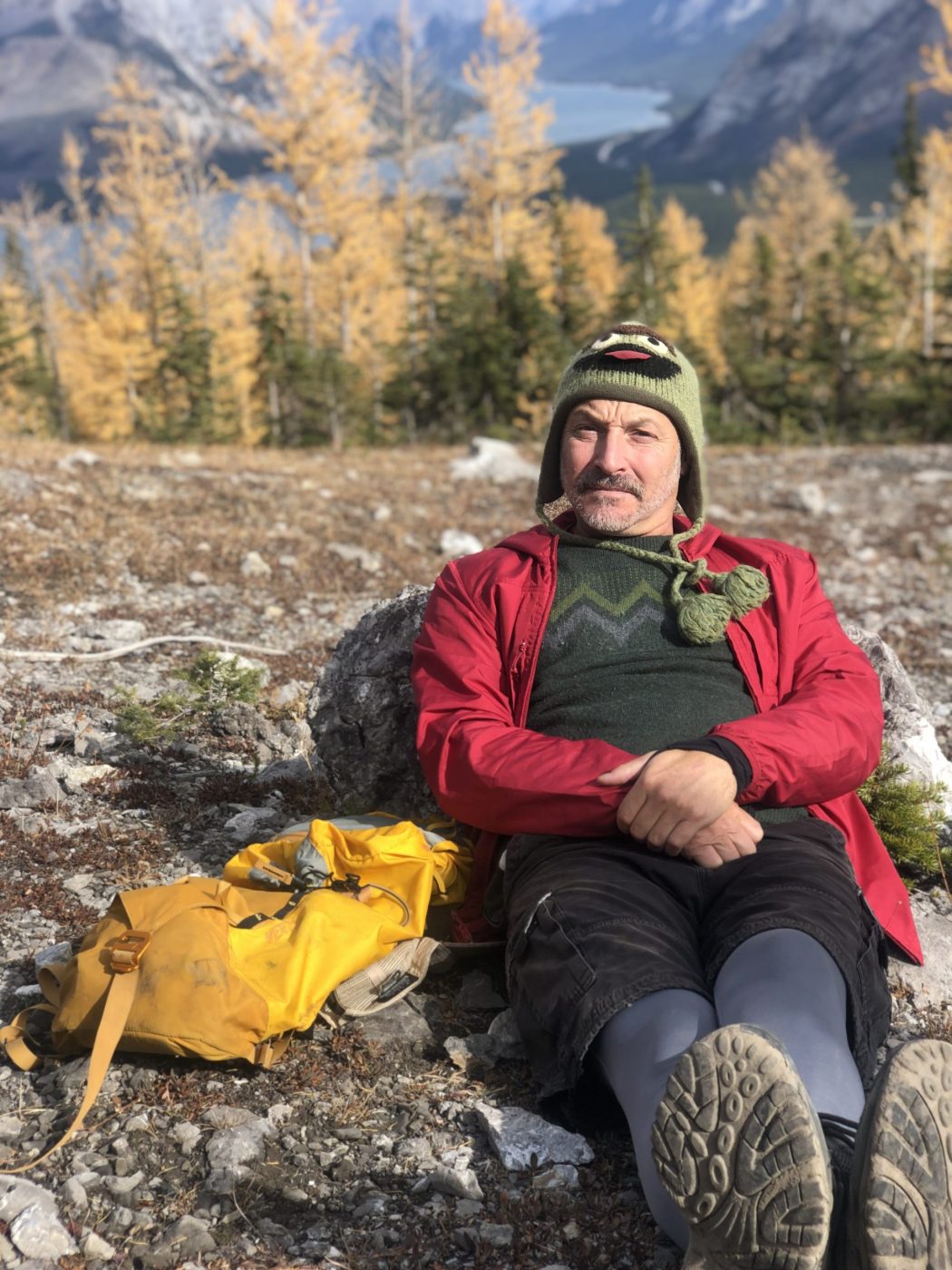
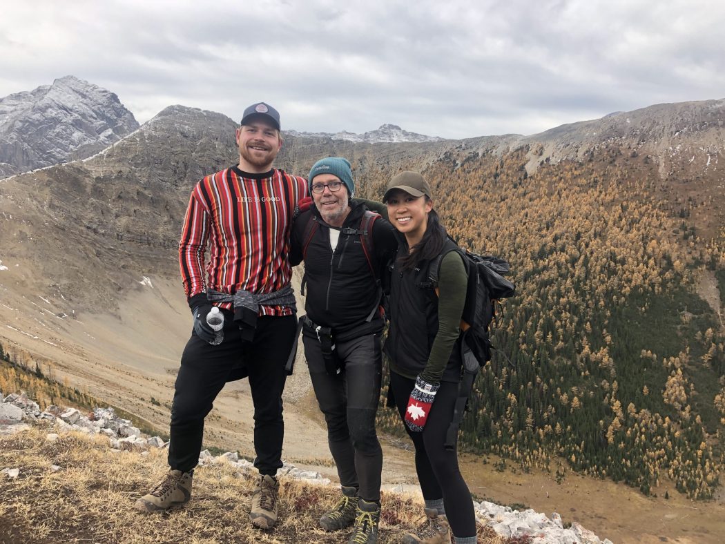
- Ed, Dave, Erin, Ian, Rod, Bauer, Craig, Evan, Sam, Mr. Magoo, Brandi, Kyle, Gerard, Carolyn
Trailhead:
- take the Spray Lakes Road from Canmore for about 30 minutes until you reach the turnoff for Mt. Engadine Lodge and then turn right
- the trail starts between Mt. Engadine Lodge and the Mt. Shark parking lot
- park on the right-hand side of the road 2 km past Mt. Engadine Lodge in the pull-off parking lot
- head back down the road about 100 meters and take the trail on the other (south) side of the road
Degree of difficulty:
- 1000 meters of elevation gain and an 11 km loop
- you can do it in either direction, but we prefer to do it in a clockwise direction as it is easier to scramble up the rocky section vs. climbing down the rocks
- it is a moderate climb at the start thru the trees to the valley in the cirque, but there are lots of roots on the trail
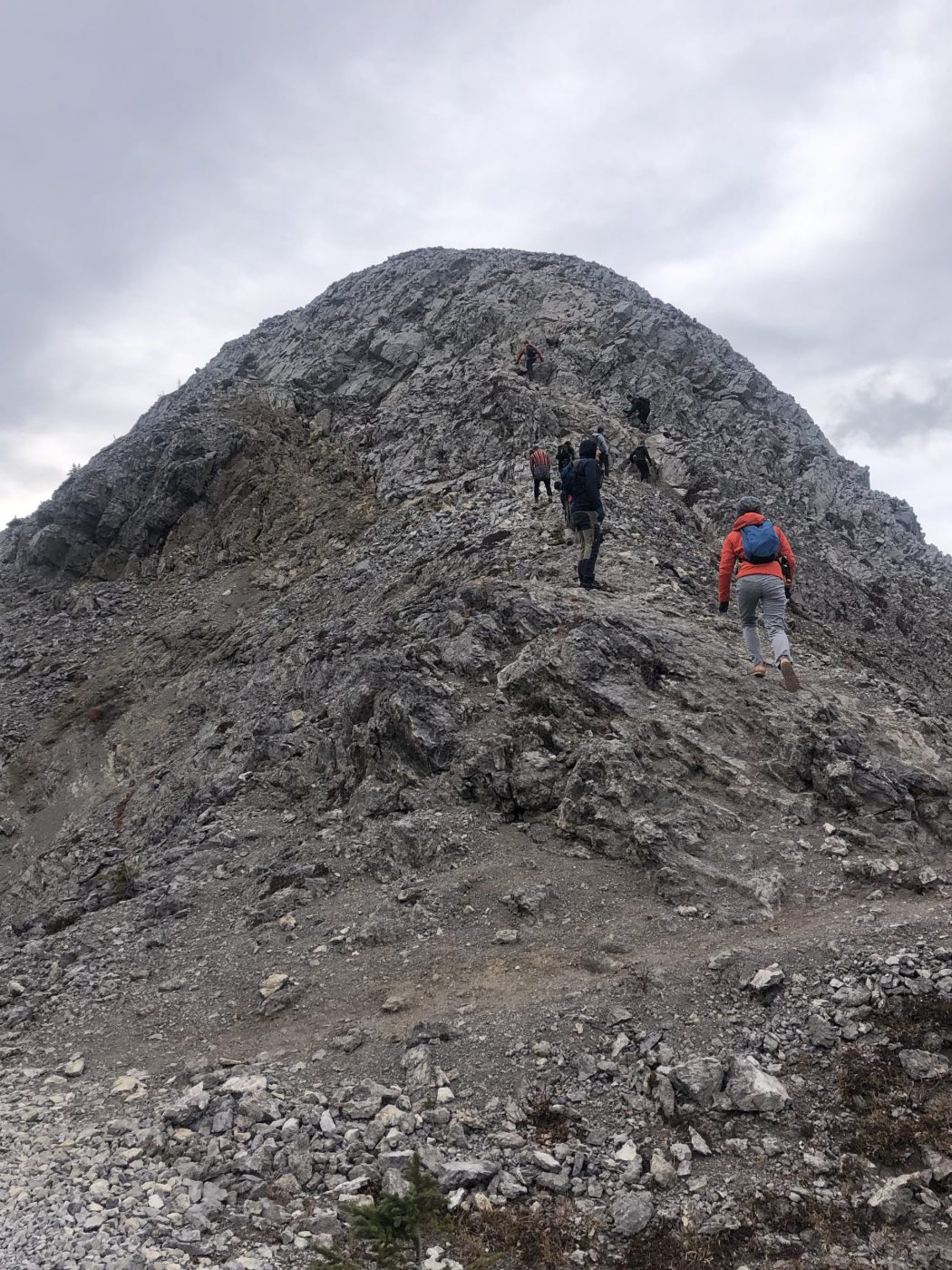
- the climb out of the valley on the east side of the ridge is steep and requires some moderate scrambling
- once you reach the weather station, you descend into a saddle that is a good spot for lunch as it has some trees to provide shade and shelter
- from the saddle, you have one final steep climb to the peak
- after this ascent, you follow a narrow ridge with tricky footing for a few km before descending a steep slope into the trees
- there are a couple of junctions (one near the start of the trail and one near the end) where you have to make sure to not cross over the logs that are placed on the ground to denote the wrong route
- the hike took us four and a half hours
- Tent Ridge is rather grueling due to the scrambling and elevation gain
- I would not recommend this trail for inexperienced hikers
Interesting notes:
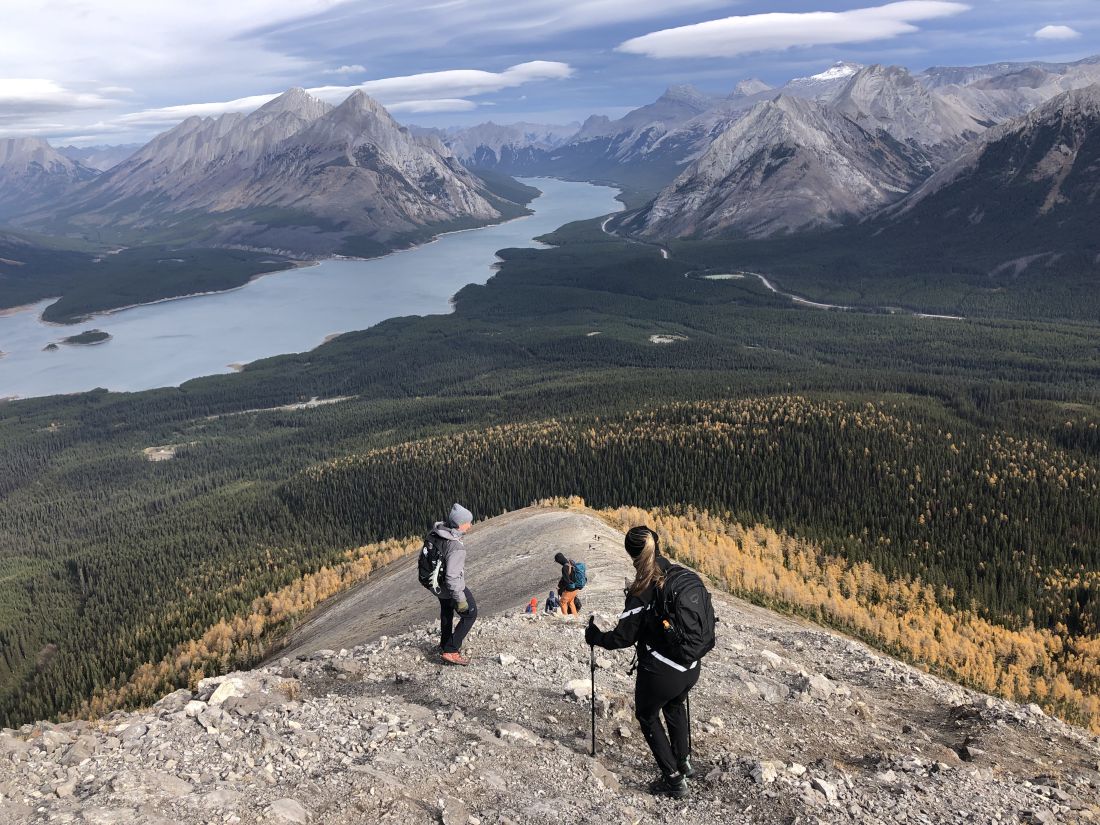
- this hike has the best 360-degree views in Kananaskis Country
- the views include Spray Lakes, Mt. Assiniboine, Tryst Lake, Mt. Shark, Mt. Smuts, and several other ranges in the area
- there is a cool rock outcropping on the right-hand side of the east ridge climb that looks like someone giving the middle finger
- the trail was extremely busy, and there were about 100 cars parked along the road
- on this day, we had a strong gusting wind on the ridge that made it more challenging than usual
- Tent Ridge is named after the shape of the mountain