April 3, 2021
In
Outdoor Edventures
Taylor Lake Hike
Where:
- Taylor Lake
When:
- April 3, 2021
Who:
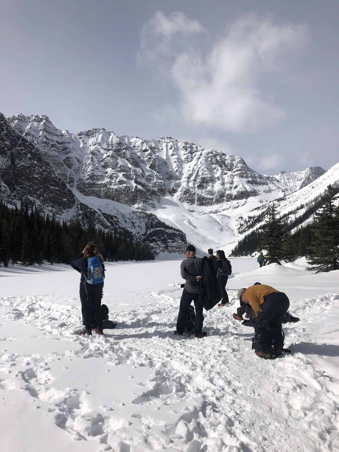
- Ed, Jace, Dave, Ian, Lisa, Rod, Bauer, Tomonori, Brandi, Todd, Jimmy, Gerard, Carolyn, Julie, Benji, Iniki, Honey, Bev, Tom, Ariana, Serena, Erin, Janet
Trailhead:
- stay on Highway 1 for 8 km past the Highway 93 south/Castle Mountain junction
- the parking lot is on the left hand (south) side of the road when heading west (17 km east of Lake Louise)
- there is a turnoff lane to get across the highway
- the trail starts from the far right-hand side of the parking lot, where you climb thru a metal gated fence area
Degree of difficulty:
- 600 meters
- 14 km out and back
- the trail was a bit slick, so grippers were an asset
- it is a gradual uphill with no major steep sections
- the Taylor Lake hike took us three and a half hours
- keep an eye out for downhill skiers, as they can come flying at you
Interesting notes:
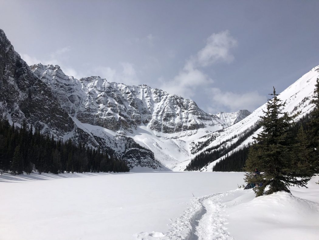
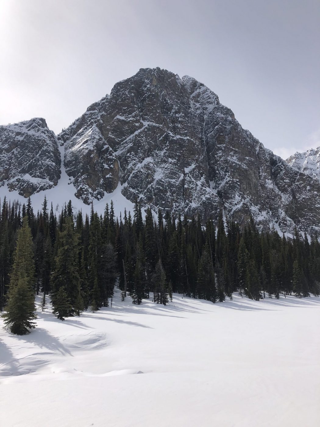
- most of the hike is in the trees, so the views are limited until you get to Taylor Lake
- keep an eye out near the top of the hike for a left turn into Taylor Lake, and otherwise, you will end up in Larch Meadows (there is no sign)
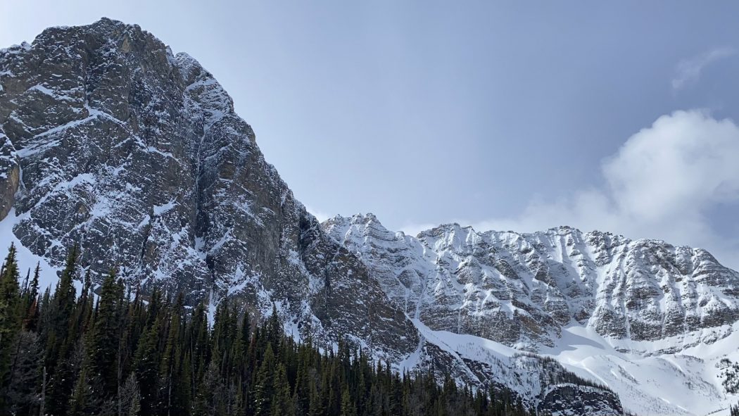
- Taylor Lake is very majestic as it is set in a cirque between Mount Bell, Bident Mountain, and Panorama Ridge
- there are also views across the valley of Castle Mountain
- the lake was named for George Herbert Taylor, a packer for A.O. Wheeler on his Dominion Topographic Surveys
- you can take the trail 2.1 km beyond Taylor Lake to Lake O’Brien, and there is a faint trail that connects even further along to the Boom Lake trail