September 8, 2019
In
Outdoor Edventures
Stanley Glacier Hike
Where:
- Stanley Glacier
When:
- September 7, 2019
Who:
- Ed, Jace, Dave, Craig, Toni, Joey, Ian, Morgan, Mike, Ceili, Peter, Oggie
Trailhead:
- head west of Banff on Highway 1 and take Highway 93 south from Castle Junction for about 10 minutes (just past the Alberta/BC border on your left-hand side)
- the trailhead starts out of the south end of the parking lot by the ‘john’
Trail notes:
- 600 meters of elevation gain
- 11 km out and back with a loop on the second half
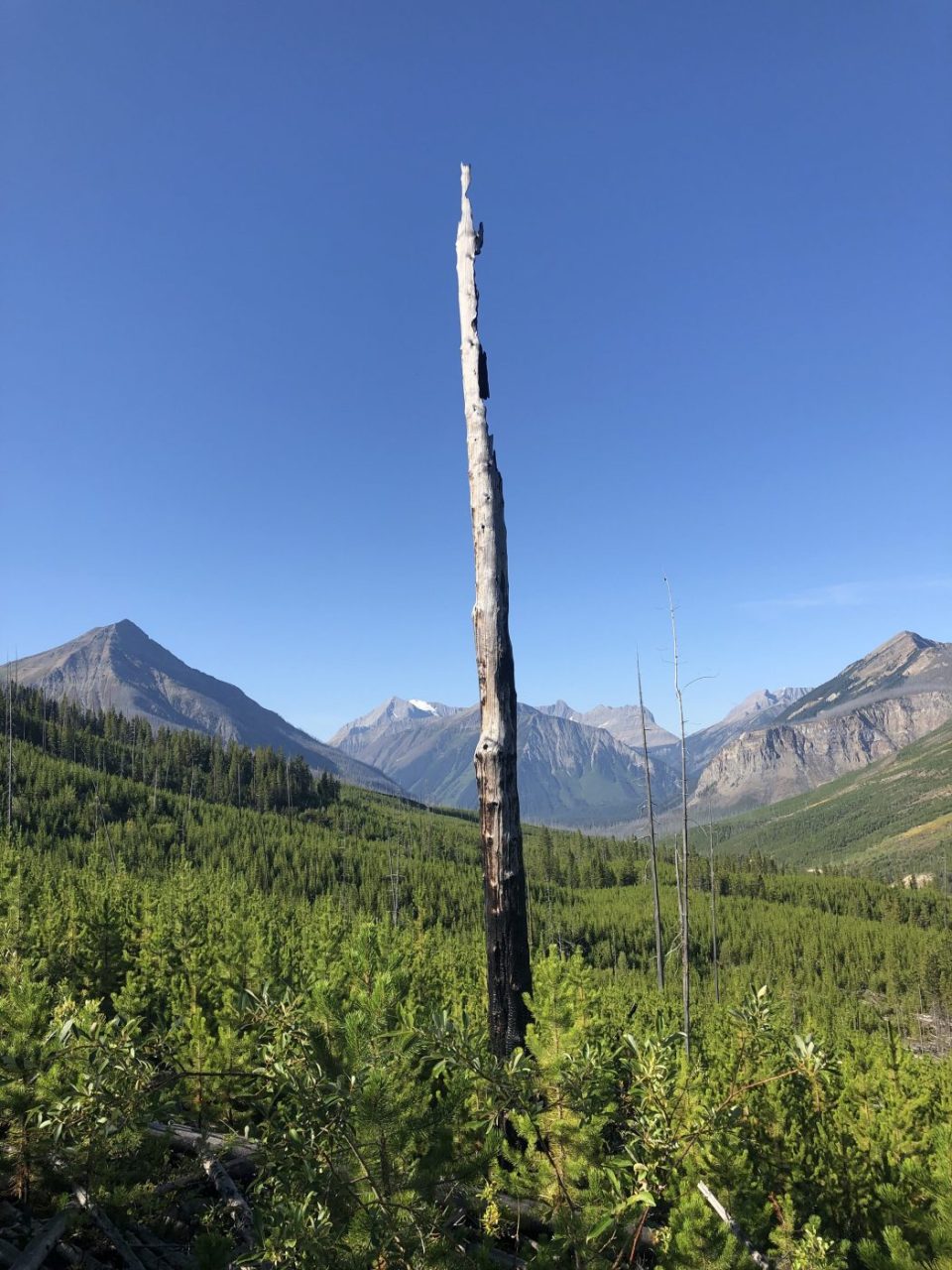
- the trail starts as a gentle switchback climb for 2 km thru the open area that was the site of fires in 1968 and 2003
- after the initial climb you enter the hanging valley where a moderate amount of climbing starts
- near the end of the valley is where it a much steeper climb that takes about a half-hour at a steady pace to get this grunt out of the way
- there is a stream across the upper part of the valley that requires some careful navigating and footwork to avoid an H2O bath
- our preference is to do the loop in the clockwise direction as the scree on the south side of the valley is easier to manage on a descent
- you can take a steep trail that goes up the right-hand side of Stanley Glacier if you want to get up close and personal with the glacier
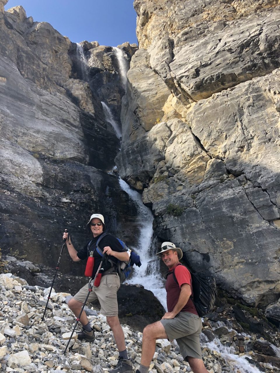
- on the south wall at the first major waterfall, there is a faint path that climbs steeply about 50 feet up into the guts of the waterfall which is well worth the extra time and effort
- the trail took us four hours at a leisurely pace to make the full loop and an extra 45 minutes for those that went up to the glacier
Interesting notes:
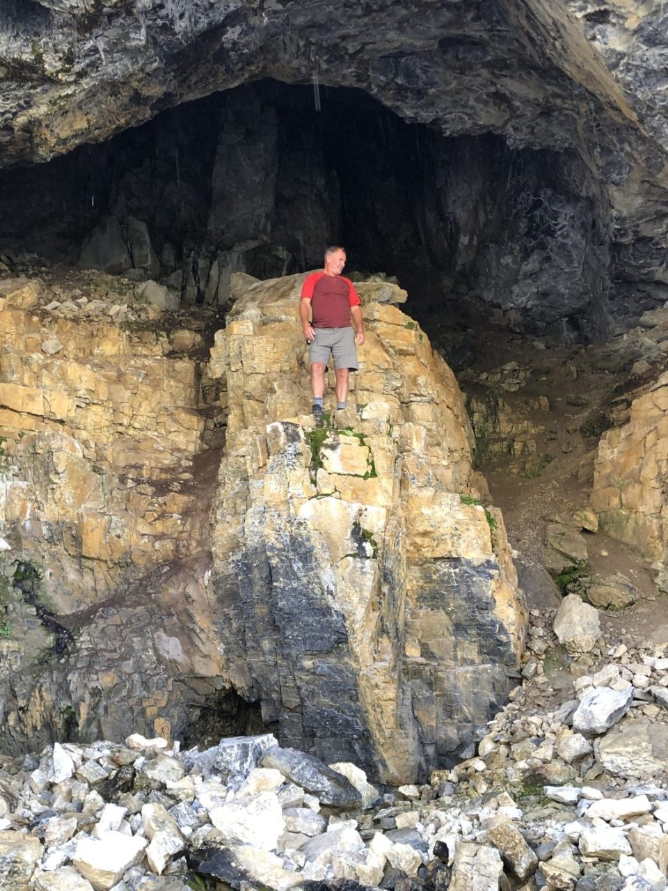
- this trail is one of our favorites due to the spectacular waterfalls, shallow caves and colorful rock formations on the south side of the valley wall
- the wildflowers are also very prevalent thru most of the summer although they were on their last legs on this particular day
- the first part of the trail thru the area that was ravaged by the fires is quite pretty with the new low growth lodgepole pine, willows, wildflowers, view of the cascading Stanley Creek and views of the surrounding peaks including Vermilion Peak to the south
- across the valley is a great view of Mount Whymper and Boom Mountain
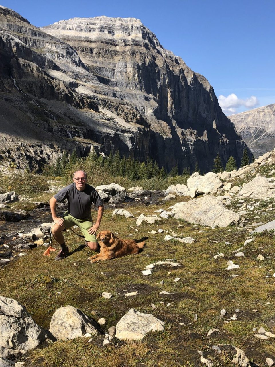
- the valley is enclosed by Storm Mountain to the north and Stanley Peak on the south side