December 7, 2019
In
Outdoor Edventures
Spencer Creek Snowshoe
Where:
- Spencer Creek
When:
- Dec 7, 2019
Who:
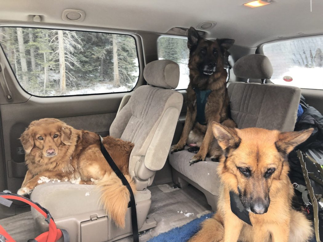
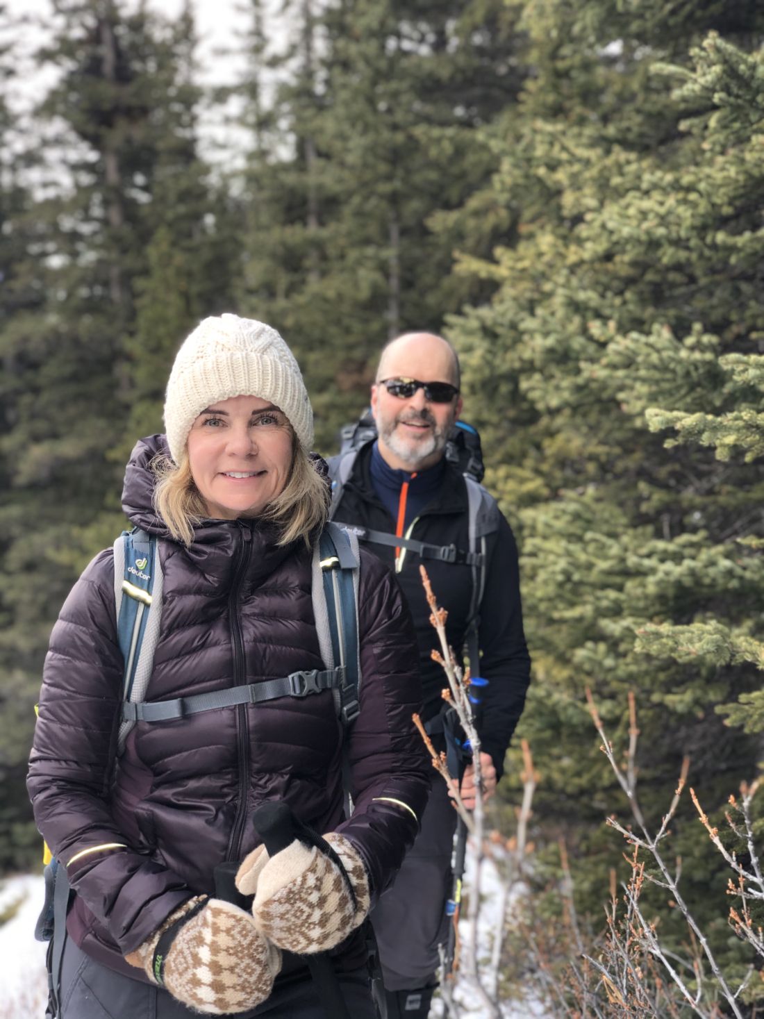
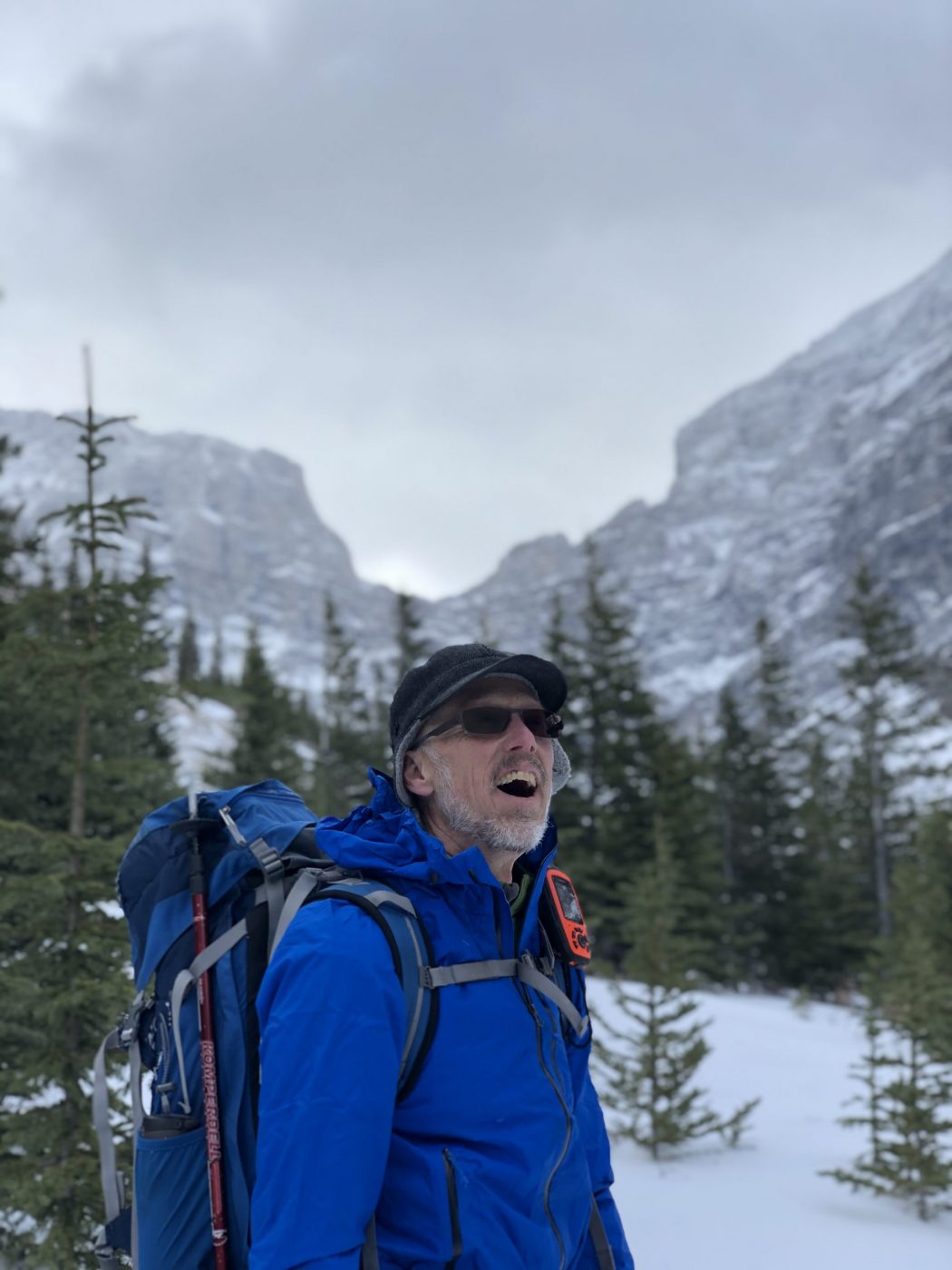
- Ed, Jace, Chris, Finn, Winnie, Craig, Janet
Trailhead:
- the trailhead is on the Spray Lakes Road and is 16 km south of the Goat Creek parking lot, and 4.4 km south of the Driftwood parking lot
- the trailhead is not marked, and this trail is not in the guide books or on the trail maps
- look for a large washed out creek bed on the left (east) side of the road and the trail is on the left side of the creek bed
- if you get to the Sparrowhawk parking lot you have gone too far, so retreat 2 km back towards Canmore
Degree of difficulty:
- 600 meters of elevation gain and 8 km to the meadow which is as far as we went on this day
- after a short distance (350 meters), the trail crosses the High Rockies biking trail so be careful to continue up the valley and be careful on the return voyage to not turn onto the biking trail
- the trail is fairly moderate and well maintained although not that well marked which can make it a challenge in the winter if there is fresh snow
- on this particular day, we were able to follow tracks for about half the hike on the way up, and then Finn and I used our route-finding skills and prior knowledge to manage our way into the meadow
- we were also challenged by low snow depth (rock protrusions), narrow trail in spots, and sidehill sections along with increasing snow depth near the top
- it can also be a bit trickier to follow the trail in the winter as some people tend to cut uphill to the left when you need to stay close to the creek
- this trail is much more challenging in the winter than in the summer for the reasons noted above
- the snowshoe took us just under 3 hours
Interesting notes:
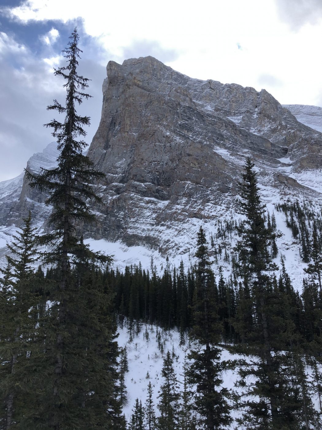
- Spencer Creek is flanked by the Mt. Lougheed range to the north and the Sparrowhawk range to the south
- the trail was initially built for scramblers to gain access to Mt. Lougheed and this appears to be the reason that it is not an official trail
- near the start of the hike, there is a moss area with a gentle creek running thru it that is incredibly picturesque
- the views are very impressive for most of the hike, and the U shaped valley at the end is very picturesque
- there is one area on the final part of the descent where the trees make what sounds like animal noises when the wind blows through so that it can be a bit deceptive and unnerving