May 20, 2023
In
Outdoor Edventures
Spencer Creek Hike
Where:
- Spencer Creek
When:
- May 20, 2023
Who:
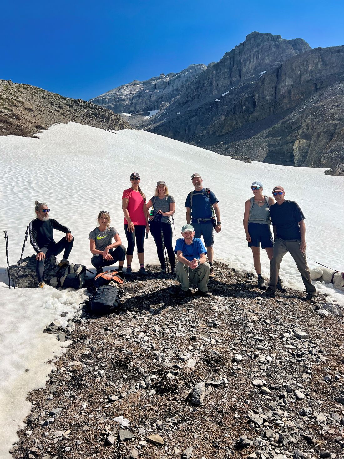
- Ed, An, Geoff, Lynn, Bailey, Craig, Janet, Oak, Erin, Kellie
Trailhead:
- the trailhead is on the Spray Lakes Road and is 16 km south of the Goat Creek parking lot, and 4.4 km south of the Driftwood parking lot
- the trailhead is not marked, and this trail is not in the guide books or on the trail maps
- look for a large washed out creek bed on the left (east) side of the road and the trail is on the left side of the creek bed
- if you get to the Sparrowhawk parking lot you have gone too far, so retreat 2 km back towards Canmore
Degree of difficulty:
- 525 meters of elevation gain and 8.3 km distance if you go all the way to the end of the valley
- the trail is fairly moderate and well marked and maintained despite not being a well-known trail
- after a short distance (350 meters), the trail crosses the High Rockies biking trail, so be careful to continue up the valley and be careful on the return voyage to not turn onto the biking trail (twice we’ve had people take the wrong turn and we had to send out search parties)
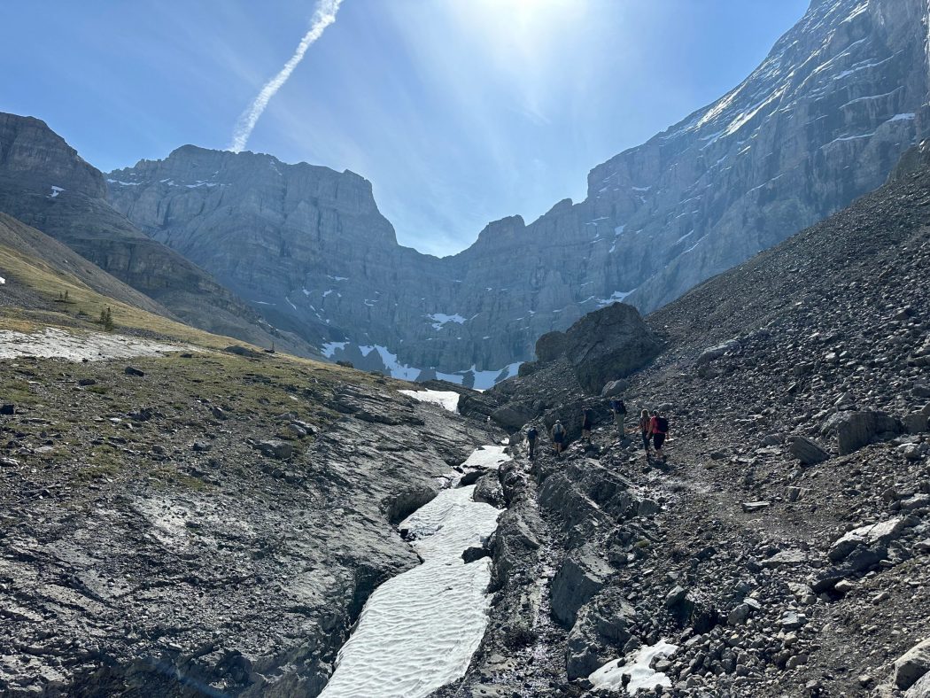
- there are a few short steep climbs and some portions of the trail that are on a narrow path along steeper sections of the creekbed, where one needs to be watching the trail and not the beautiful scenery
- near the end of the valley, the footing is tricky along the creek, where there are two creek crossings (we threw some rocks into the creek to help us get across)
- the hike took us 3.5 hours, and we moved at a fairly leisurely pace
Interesting notes:
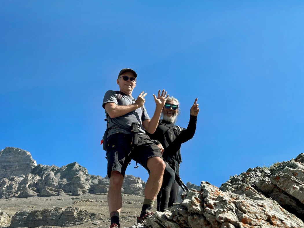
- it was a beautiful day to celebrate An’s 71st birthday
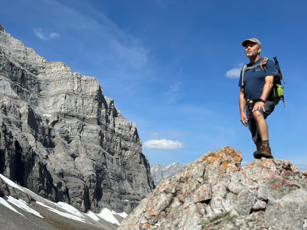
- Spencer Creek is majestically flanked by the majestic Mt. Lougheed range to the north, Wind Mountain to the East, and the Sparrowhawk range to the south
- the trail was initially built for scramblers to gain access to Mt. Lougheed and this appears to be the reason that it is not an official trail
- near the start of the hike, there is a moss area with a gentle creek running thru it that is one of the most beautiful features of any hike, especially if the sun is shining thru the trees
- the views are very impressive for most of the hike, and the U shaped valley at the end is very picturesque
- our typical summer lunch spot is at the end of the valley on the left-hand side, where a beautiful waterfall is nestled into the mountain (on this day, there was still some snowpack that prohibited us from viewing the falls)