October 23, 2021
In
Outdoor Edventures
Porcupine Ridge Hike
Where:
- Porcupine Ridge
When:
- October 23, 2021
Who:
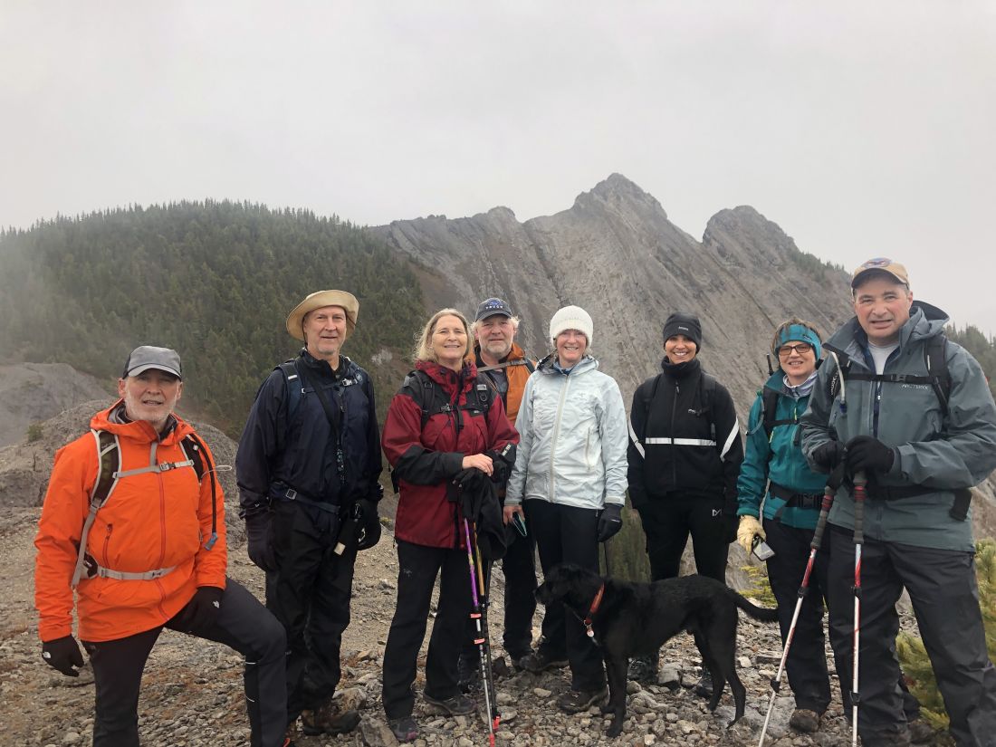
- Ed, Dave, Erin, Mike, Brenda, Angela, Rod, Bauer, Gerard, Carolyn
Trailhead:
- the trailhead is 15 km south of Highway 1 on Highway 40
- you can either park in the ditch on the left-hand side of the road before the creek or on the right-hand side of the road
- the trailhead starts out along the north (left) side of Porcupine Creek
- when you come to the bridge, you can go along the left side of the creek or cross the bridge and up the right side of the creek
- both sides present different challenges depending on the water level
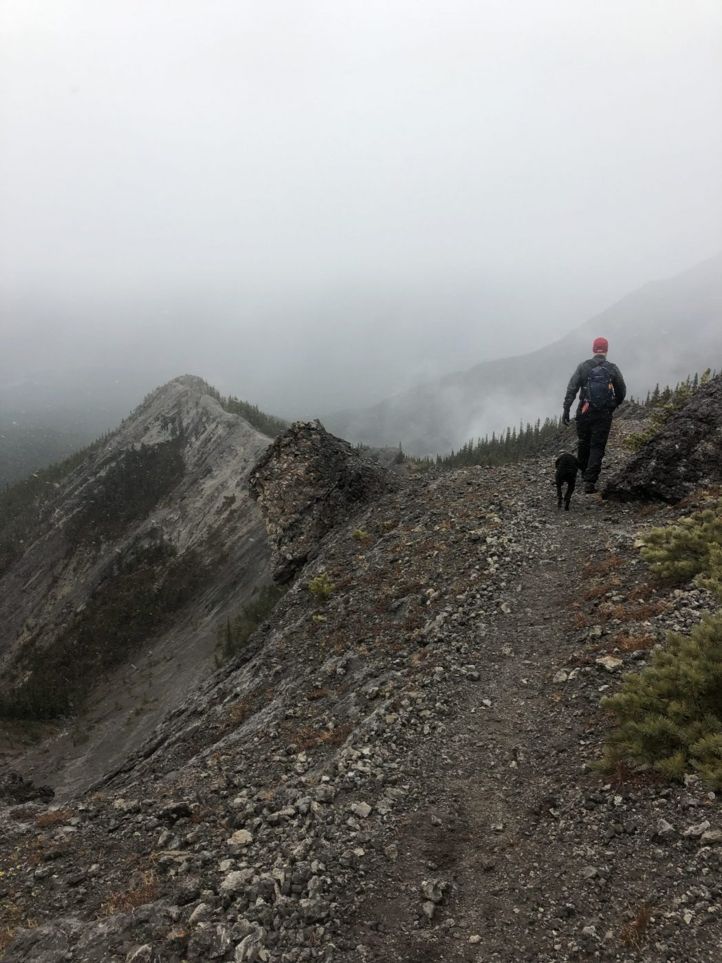
- after a flat walk and just past the climber’s cliffs where the creek splits, you climb the mountain between the two creeks
- look for pink ribbons as the trail can be hard to follow
Degree of difficulty:
- 700 meters of elevation to Porcupine Ridge
- 8 km out and back
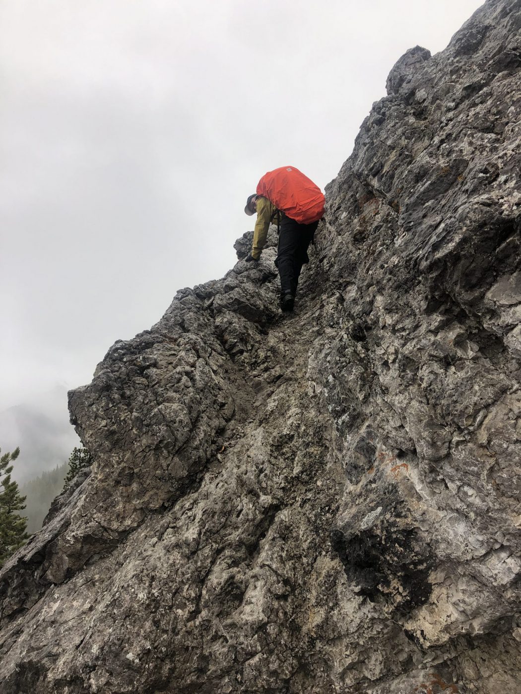
- steep incline once you leave the creekbed and some scrambling
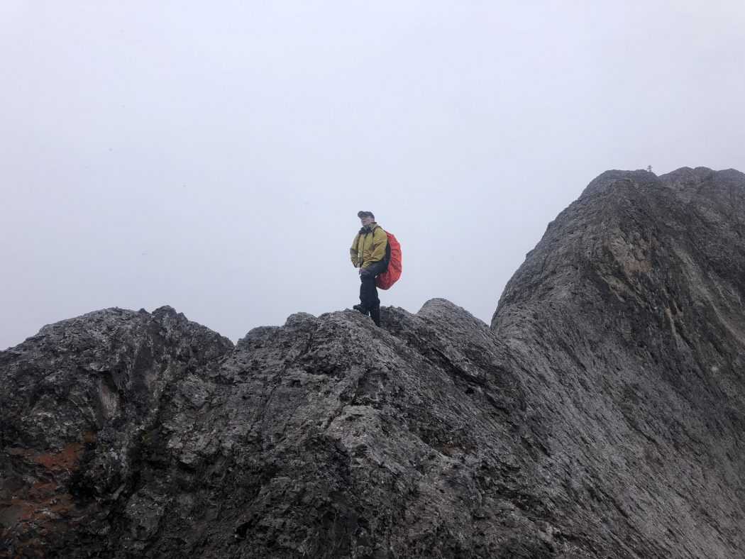
- there are some slabby sections just above the creek and near the summit, but they are manageable, and the trail is well defined
- the hike took us just under 4 hours
- we did not make it to the final peak (Tiara), so it’s on the agenda for a nicer day
Interesting notes:
- the views are limited while you climb through the forest, but then you break out to panoramic 360-degree vistas
- one side of the ridge (south) is bordered by Wasootch Creek and the other side (north) by the Mount Baldy range
- there are beautiful views of Mount McDougall, Mount Bryant, Mount Baldy, Boundary Ridge, Mount Allan, Mount Collembola, and Mount Lorette
- Porcupine Ridge is presumably named for the shape of the peaks