September 29, 2021
In
Outdoor Edventures
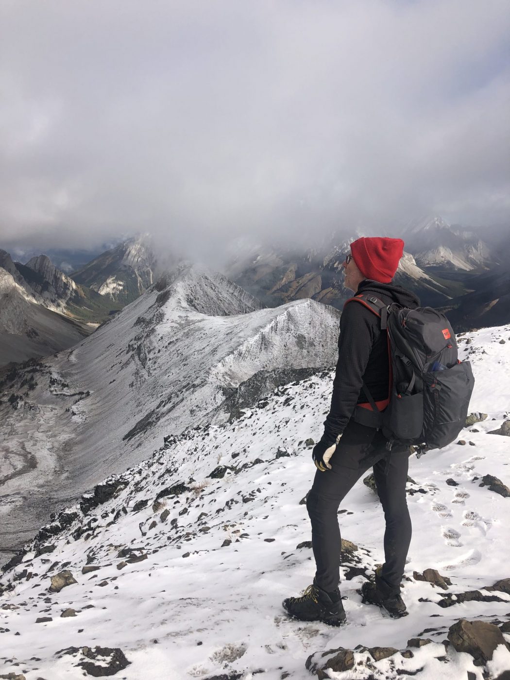
Pocaterra Ridge Hike
Where:
- Pocaterra Ridge
When:
- September 28, 2021
Who:
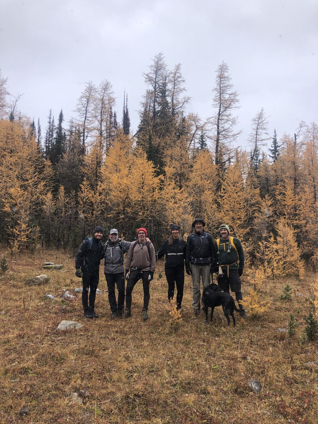
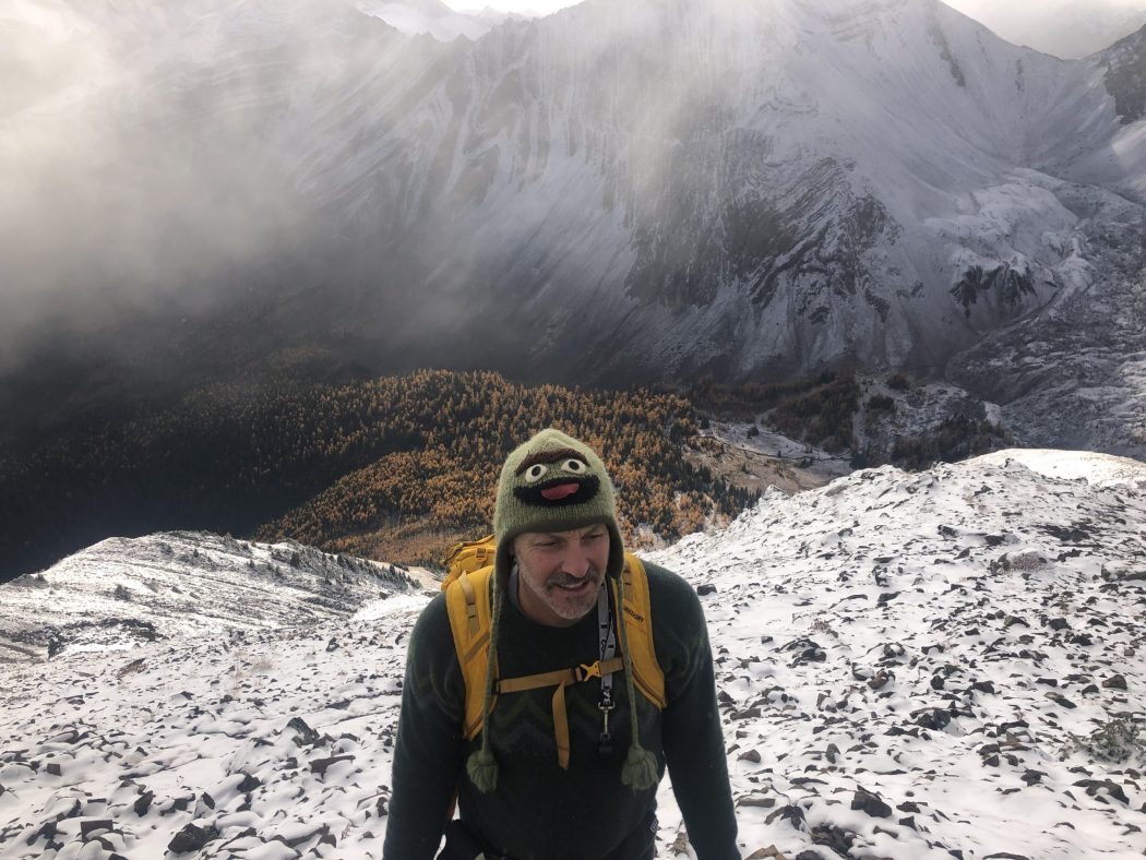
- Ed, Dave, Phil, Erin, Rod, Bauer, Ian
Trailhead:
- take Highway 1 west and turn south onto Highway 40
- follow Highway 40 for 67 km to the top of the Highwood Pass
- park in the lot on the right (west) side of the highway
- the trailhead is out of the north end of the parking lot
Degree of difficulty:
- 650 meters to the top of the ridge
- 8.5 km return
- 3.5 hours total time on the trail
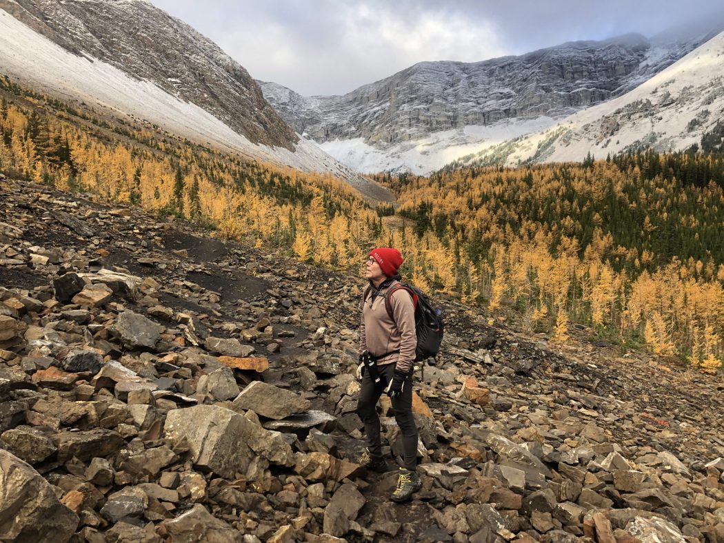
- moderate start for the first few km until you get to the base of Pocaterra Ridge, at which time the steep ascent starts
- the ascent has some loose shale and snow on this day, so it’s best to take your time and ensure you gain proper traction
- for the same reason, you need to be careful on the descent, and poles are a good idea
Interesting notes:
- this is an excellent larch tree viewing area in the valley below the ridge and on Pocaterra Ridge
- people can hike into the valley to view the larches without having to ascent the grueling climb up to the ridge
- another option is to leave a vehicle at a lower parking lot below the Highwood Pass and do the full ridge from south to north
- Pocaterra Ridge trail provides views of Elk Ridge, Highwood Ridge, Grizzly Ridge, Mount Tyrwhitt, and Mount Rae
- the trail is named after George Pocaterra, who was involved in ranching, trapping, hunting, coal, and general exploration in the Highwood area