July 9, 2023
In
Outdoor Edventures
Nihahi South Ridge Hike
Where:
- Nihahi South Ridge
When:
- July 8, 2023
Who:
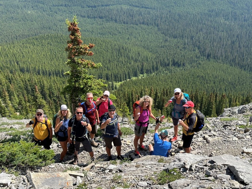
- Ed, Oak, Erin, Dave, Craig, Roger, Carolyn, Colleen, Kent, Jim, Angela
Trailhead:
- from Bragg Creek take Highway 66 West to the end of the road
- you have to park at the equestrian center which is 1.7 km before the trailhead at Little Elbow Campground
- walk along the road that parallels the river through the campground and then turn right at the sign for Nihahi Ridge
- the trail branches off at times but ultimately seems to get you to the top
Degree of difficulty:
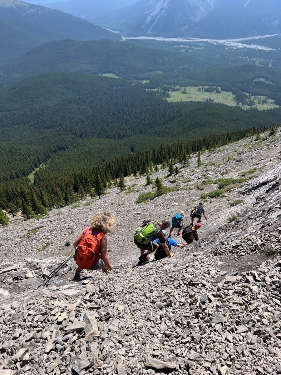
- 750 meters of elevation gain
- 12.5 km round trip
- the hike took us four and three-quarter hours
- it starts on the road through the campground for 1.7 km and then turns you start the ascent
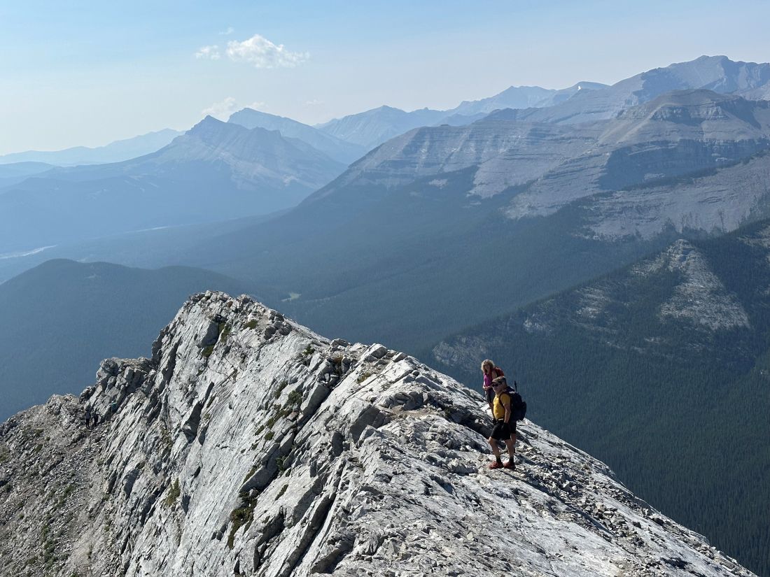
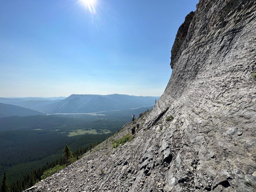
- it’s a fairly steep climb with two challenging scrambles near and at the top
Interesting notes:
- this was my first time doing this hike, and the views were amazing
- I suffered an oxygen deprivation headache for the first time in decades and likely due to being at sea level the few days prior
- our group got separated on the way down as there are multiple branches of the trail
- there are sweeping views of the entire Kananaskis region as well as the Elbow and Little Elbow Rivers and Nihahi Creek
- you can hike the whole ridge, but it is 9 km long and tricky footing with steep drops on both sides
- Nihahi Ridge was named in 1922 after the Stoney Indian word equivalent of ‘rocky’