July 26, 2025
In
Outdoor Edventures
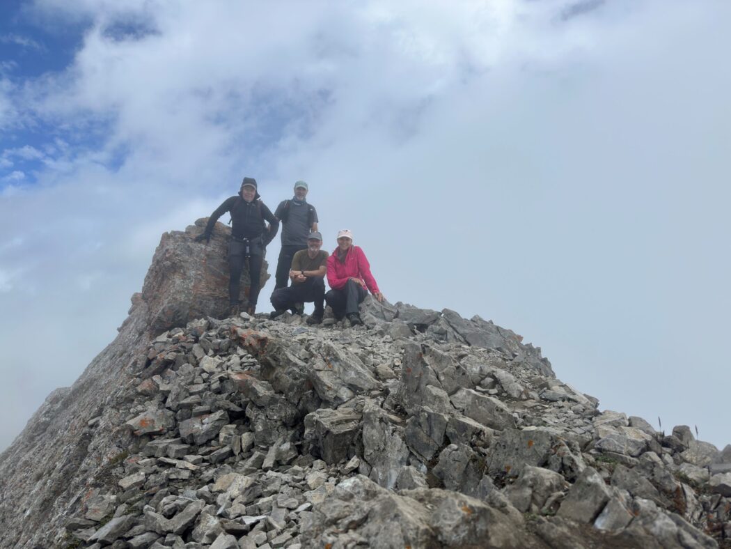
Little Arethusa Hike
Where:
- Little Arethusa
When:
- July 26, 2025
Where:
- Ed, Craig, Neil, Erin
Trailhead:
- on Highway 40, drive south from the Trans-Canada Highway for 69 km (1 hour) or 1.3 km south of the Highwood Pass
- the parking is in a dirt parking lot on the East side of the road
- the trail starts near the north end of the parking lot
- walk along the south side of the creek and eventually walk past a waterfall that is on a short side path to the left
- shortly after this, you enter the meadow where there is a log crossing across the creek
- after the creek crossing, the trail becomes more sparse, but keep heading north/northwest
- you will come out of the treeline on a sloped meadow, which you keep heading up through the larch trees straight to the top
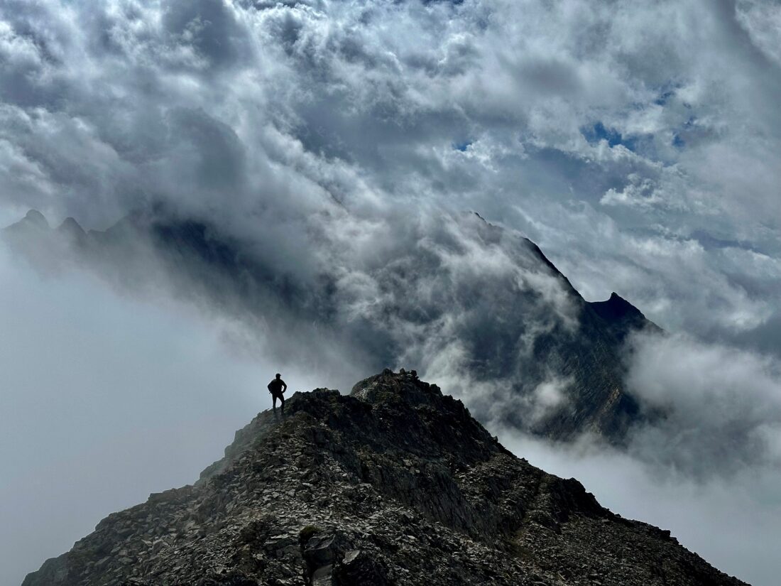
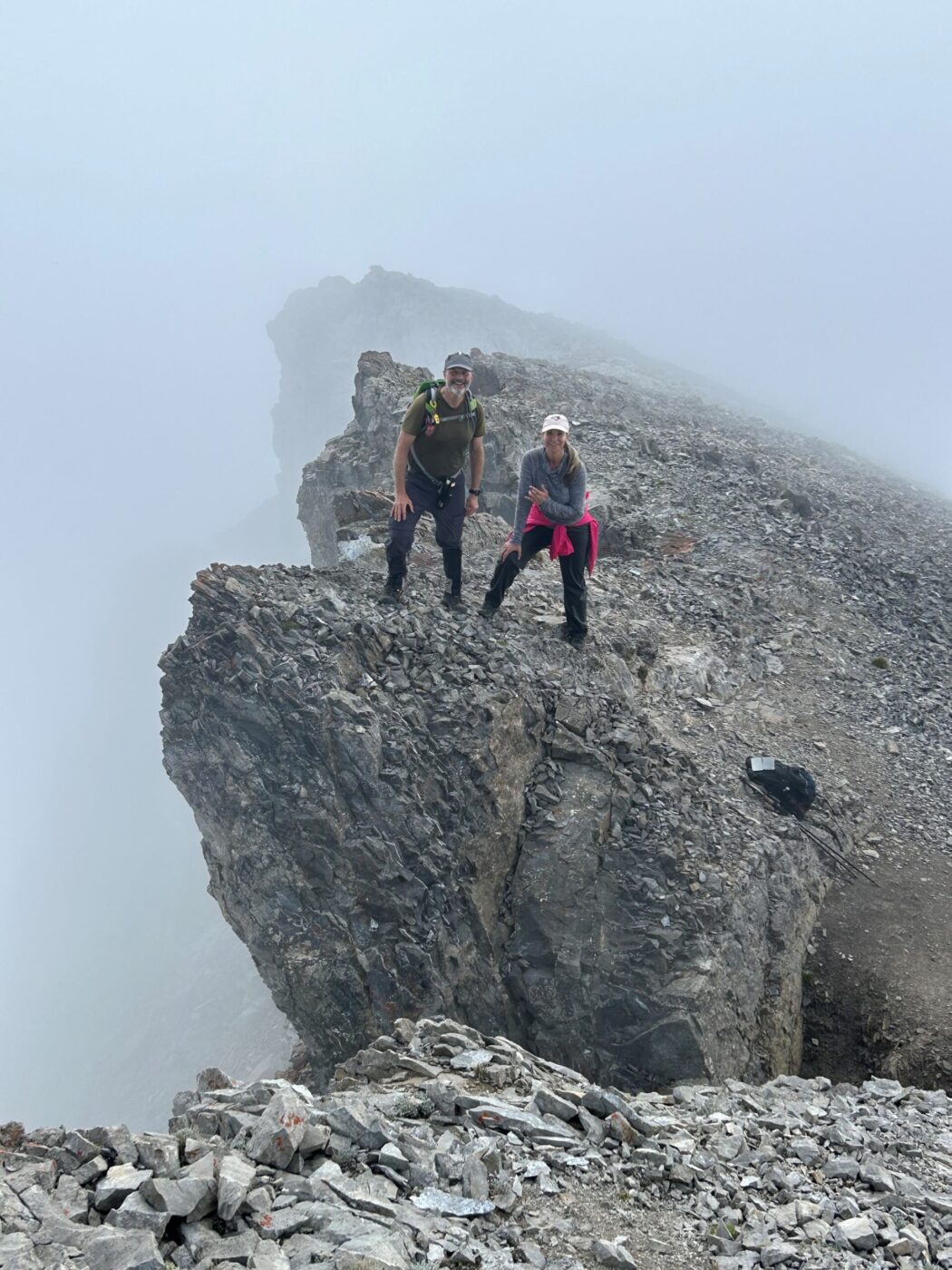
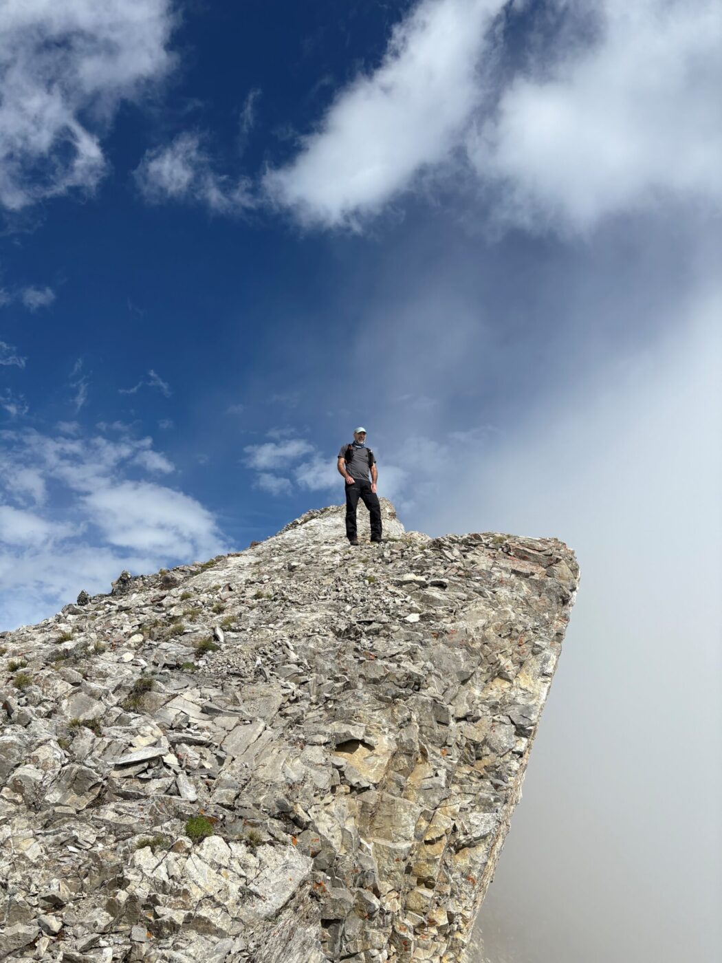
- the East ridge of the final climb provides the best views of a cliff face and the cirque and valley
Degree of difficulty:
- 6 km (4.8 to Little Arethusa and back)
- 625 meters
- 3.5 hours total time on the trail (we took a side diversion on the way down around the Arethusa Cirque)
- it is a short but very challenging hike with a significant amount of elevation gain on some scree leading up to the summit
- there are a number of cliff bands as you approach the summit that are dramatic but you need to be careful
Interesting notes:
- there are beautiful views of Mt. Rae, Ptarmigan Cirque, Highwood Ridge, Pocaterra, Mt. Arethusa, Storhusa Ridge, Storm Mountain, Mist Mountain, and many others
- Little Arethusa Mountain is an outlier of Mount Arethusa, which gets its name from the British light cruiser HMS Arethusa, which was sunk by a mine in 1916
- there are several other trails that eminate from this same parking lot in the Arethusa Valley