June 12, 2021
In
Outdoor Edventures
King’s Creek Ridge Hike
Where:
- Kings Creek Ridge
When:
- June 12, 2021
Who:
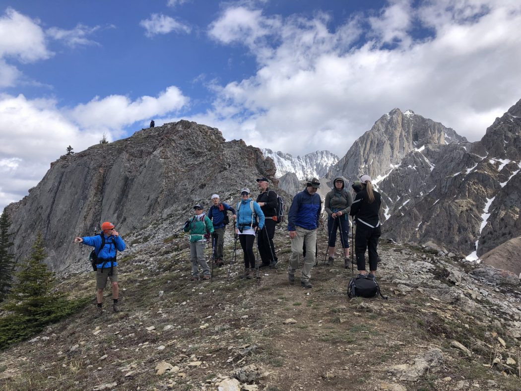
- Ed, Rod, Bauer, Erin, Katie, Courtney, Tomonori, Oak, Lisa, Brenda, Mike, Ian, Lisa, Freda, Jacco
Trailhead:
- from Highway 1 turn off onto Highway 40 south
- travel 50 km (35 minutes) to the parking lot on the left-hand (east) side of the road just before where Highway 40 branches off to Kananaskis Lakes
- the trailhead starts going along the highway past King Creek and then turning right into the forest
Degree of difficulty:
- 775 meters of elevation
- 7 km round trip
- after 10 minutes of relatively flat terrain, it becomes a relentless incline for 2 km before it levels off along the ridge for the last 1.5 km
- the hike took us three and a half hours
Interesting notes:
- on the drive out, just before the trailhead, I saw two moose followed shortly after that by four grizzly bears
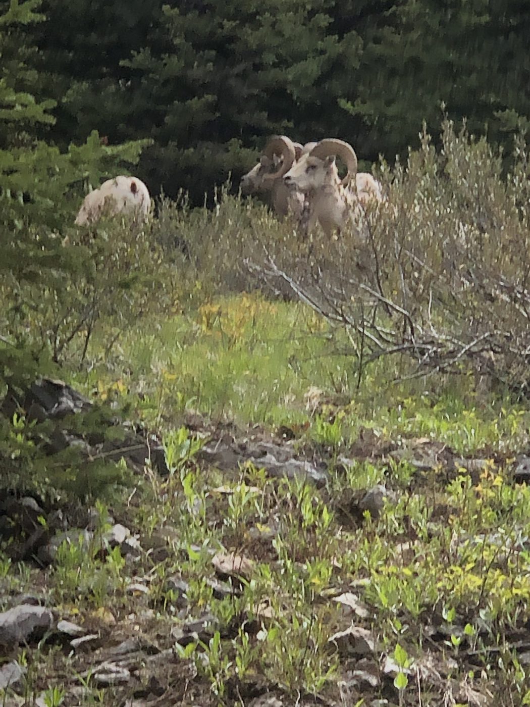
- on the hike descent, we stumbled upon eight mountain sheep as Ian and I were using the ‘facilitrees’
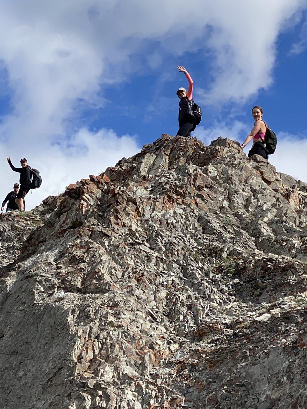
- at the top of the ridge, head past the first (false) summit to the final summit, which is another 200 meters but requires some scrambling on a somewhat narrow ridge
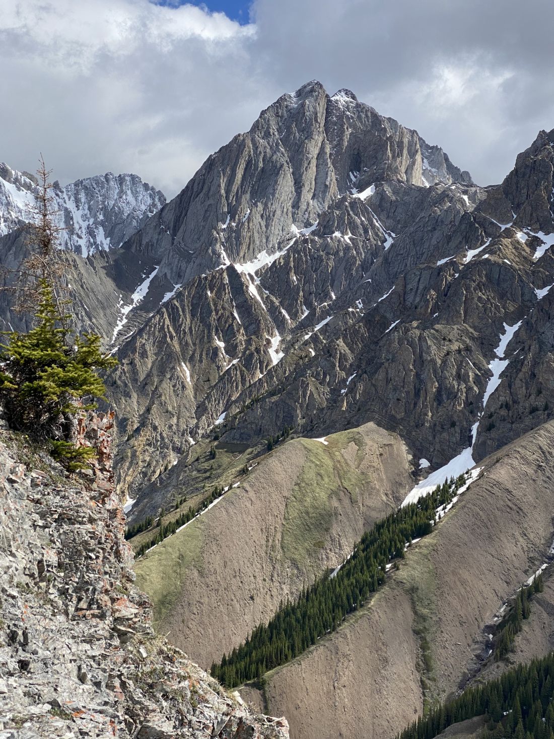
- there are spectacular 360-degree views at the top of numerous ranges, as well as Kananaskis Lakes, and Fortress Ski Resort way to the north
- some of the ridges have spectacular rock outcroppings
- King Creek was named for Millarville rancher Willie H. King who, along with George Pocaterra, searched for coal near Pocaterra Creek in the summer of 1910
- prior to being named for King, the ridge was referred to as ‘Kiska tha Iyarhe’ (Goat Mountain) by Stoney aboriginals