April 10, 2021
In
Outdoor Edventures
James Walker Snowshoe
Where:
- James Walker
When:
- April 10, 2021
Who:
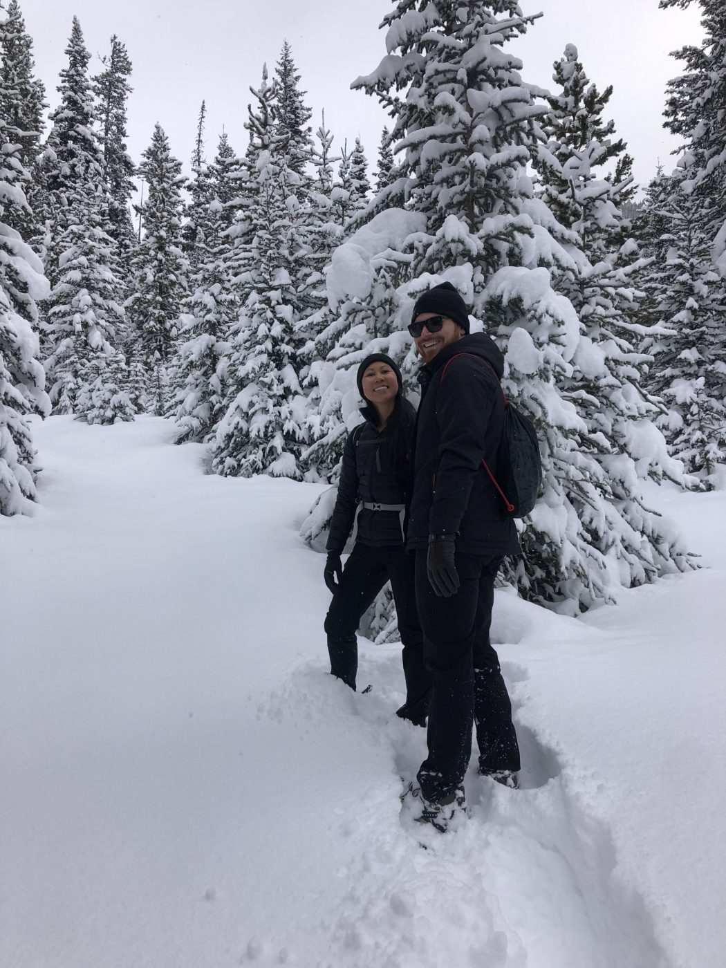
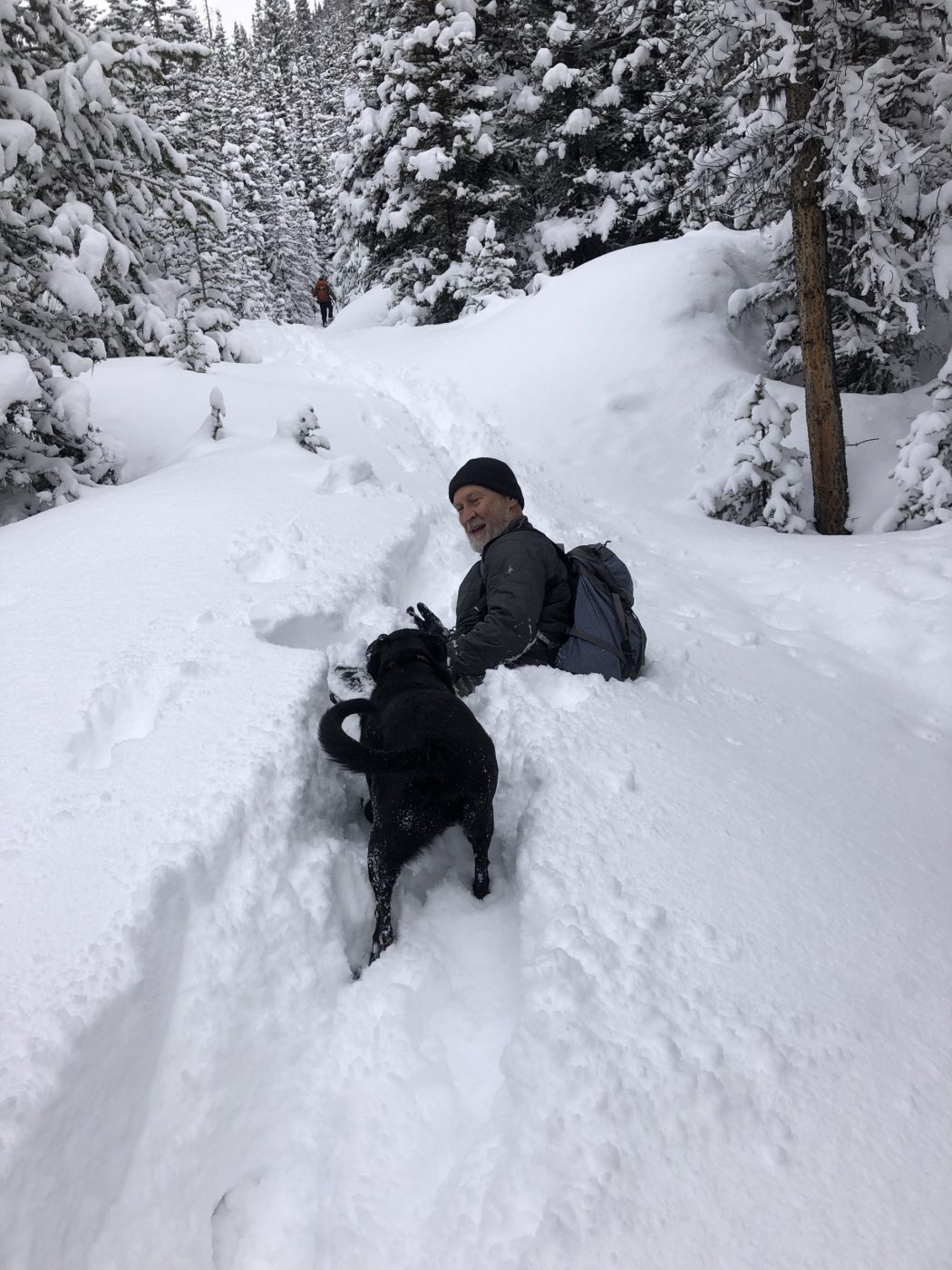
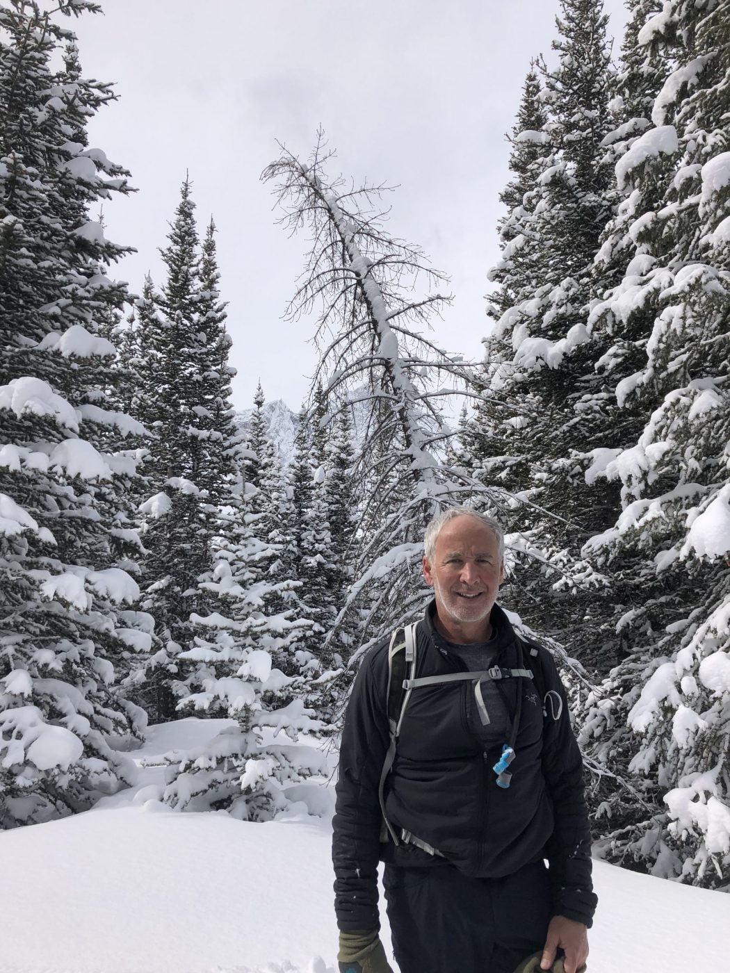
- Ed, Jace, Ian, Lisa, Dave, Gerard, Carolyn, Erin, Janet, Brandi, Kyle, Tomonori, Rod, Bauer, Kirk
Trailhead:
- the trailhead is 48 km south of Canmore on Highway 742 (Smith Dorrien, Spray Lakes Road)
- if you are coming from Calgary, it is quicker to get there via Highway 40 to Kananaskis Lakes, where you turn on to the Smith Dorrien for 16 km
- the parking lot is on the left (east) side of the road at the Sawmill day use area, about 5 kms past the Chester and Burstall parking lots
- the trailhead is behind the washroom and not out of the end of the parking lot as that leads to a lower loop
- it’s a bit tricky to find the trail that cuts at a 45 degree angle out of the parking lot as there are three trails leaving the same end of the parking lot
Degree of difficulty:
- 500 meters of elevation gain and 14 km distance to the upper valley
- the initial trail is on old logging roads until 2 km where you cut off to the right to go up the valley along James Walker Creek (it is marked with a snowshoe sign on the left and a pink marker on the right)
- the trail is quite gentle until you get to the tarn (small pond) at 4.5 km, where you proceed to the end of it and then start climbing up to the wide-open alpine valley
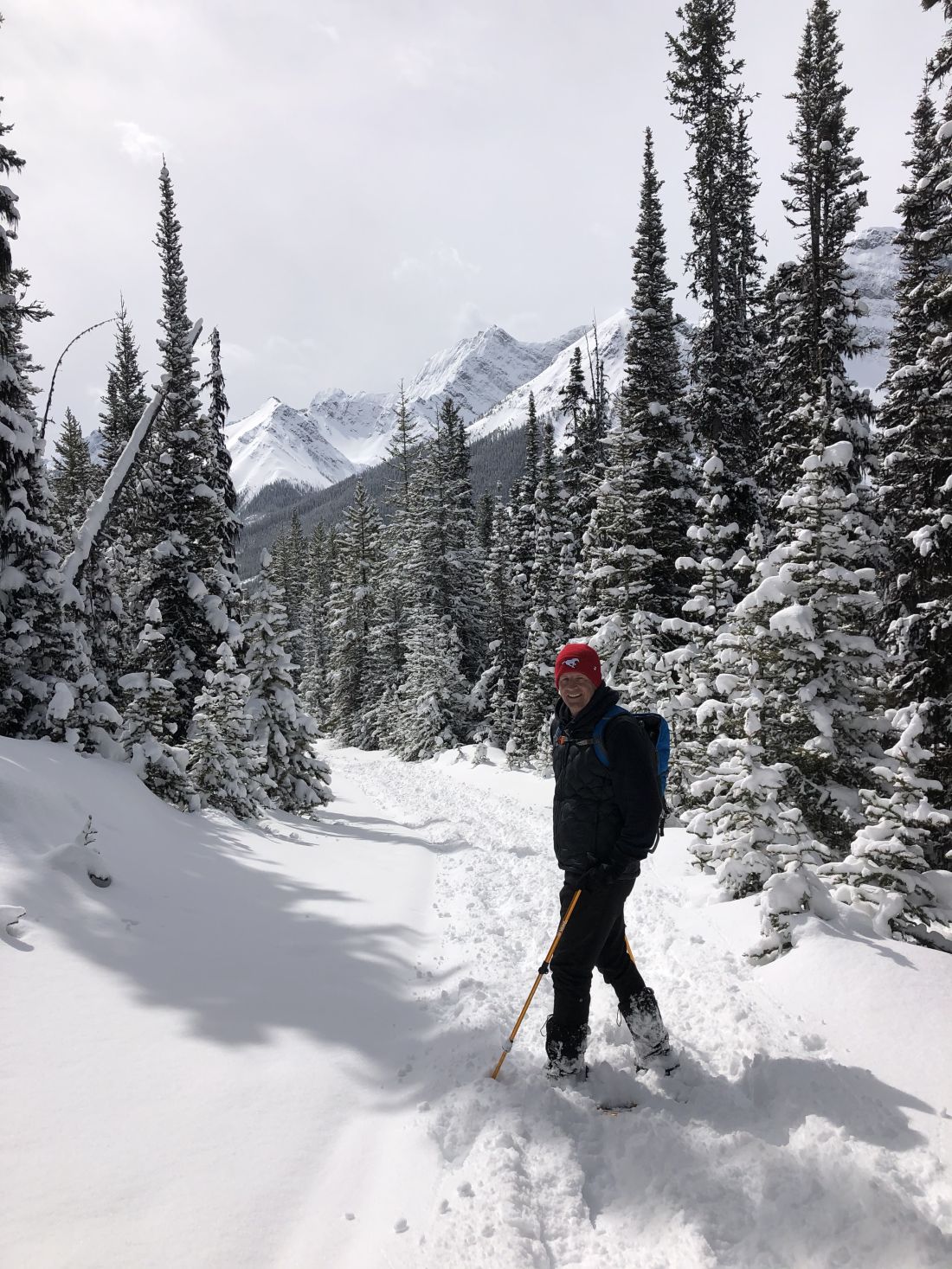
- in the upper valley, there is no trail so you can proceed to the end of the valley or venture up to the right for a scramble up Mount James Walker
- the hike took us under three hours, but we took a couple of wrong turns and never ended up heading up the James Walker creek part of the trail
Interesting notes:
- this trail always amazes me at how uncrowded it is, and especially with Chester and Burstall typically being so busy
- after you leave the tarn area, which is sometimes dried up, keep an eye out for some nice waterfalls on the left-hand side
- there are views up the valley of Mount Inflexible to the south and Mount James Walker to the north
- the trail/mountain was named in 1959 after Colonel James Walker, who served in the North-West Mounted Police and who was also a soldier, businessman, politician, and civic leader in Calgary and the surrounding rural area
- the Sawmill area is named for the Spray Lakes Sawmill company that operated in this area from 1954 to 1969