June 21, 2020
In
Outdoor Edventures
James Walker Hike
Where:
- James Walker
When:
- June 20, 2020
Who:
- Ed, Jace, Geoff, Lynn, Bailey, Mike, Jane, Luna, Peter, Lisa, Rob, Peggy, Tanner, Ian, Lisa, Dave, Lorna
Trailhead:
- the trailhead is 48 km south of Canmore on Highway 742 (Smith Dorrien, Spray Lakes Road)
- the parking lot is on the left (east) side of the road at the Sawmill day use area, about 5 kms past the Chester and Burstall parking lots
- the trailhead is behind the washroom and not out of the end of the parking lot as that leads to a lower loop
Degree of difficulty:
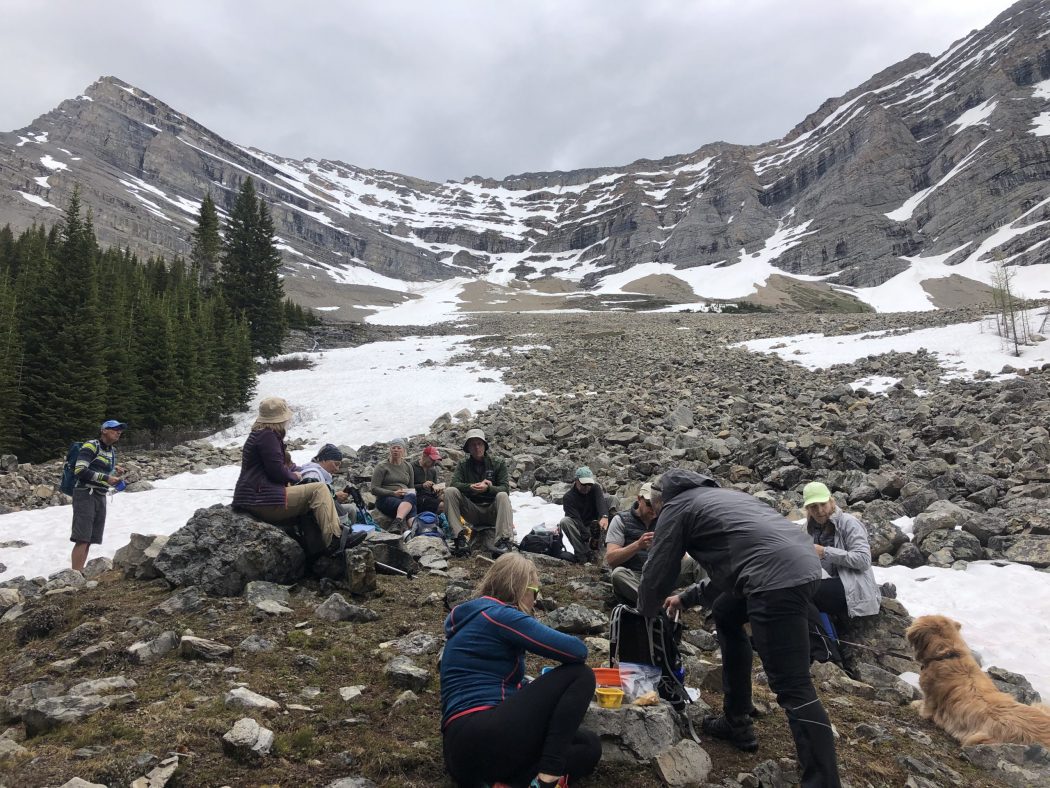
- 500 meters of elevation gain and 14 km distance to the upper valley (it depends how far you go into the valley, on this day we only made it up 400 meters and 11 km due to the snow issues)
- the trail can be a bit tricky to find out of the parking lot
- start on the trail behind the washroom that points towards the mountain range and then within 50 yards it veers off 45 degrees to the left
- the initial trail is on old logging roads until 2 km where you cut off to the right to go up the valley along James Walker Creek (it is marked with a snowshoe sign on the left and a pink marker on the right)
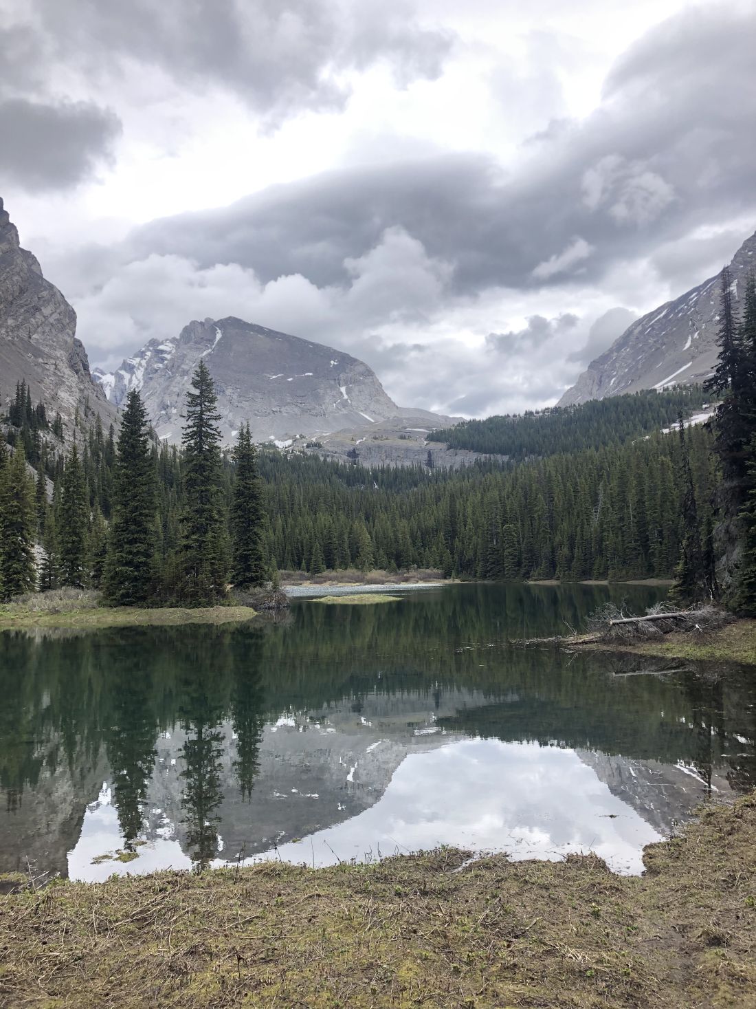
- the trail is quite gentle until you get to the tarn (small pond) at 4.5 km, where proceed to the end of it, and then start climbing up to the wide-open alpine valley
- in the upper valley, there is no trail so you can proceed to the end of the valley or venture up to the right for a scramble up Mount James Walker
- the hike took us 4 hours, but we didn’t make it to the upper valley due to the snow depth and a creek crossing that took a while to get everyone across
Interesting notes:
- this trail always amazes me at how uncrowded it is, and especially with Chester and Burstall typically being packed with hikers (we only saw two other people this day, yet the trails closer to Canmore were packed with people)
- there was an unusual amount of snow this year which resulted in the tarn being more like a small lake and a few washed out areas on the trail
- we chose to go around the left-hand side vs. the usual route on the right-hand side, which meant we had to find a place to cross what was a rapidly flowing creek
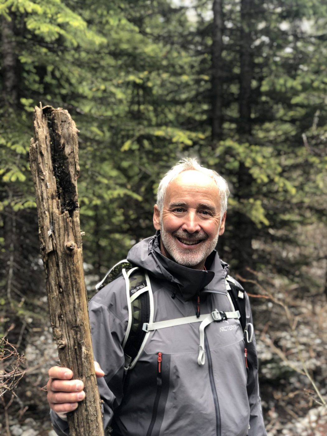
- Lorna and I managed to get across on a single narrow log and then found another log to build a mini bridge as well as some branches for walking sticks that allowed easier access across the creek (although the dogs had no problem crossing through the creek)
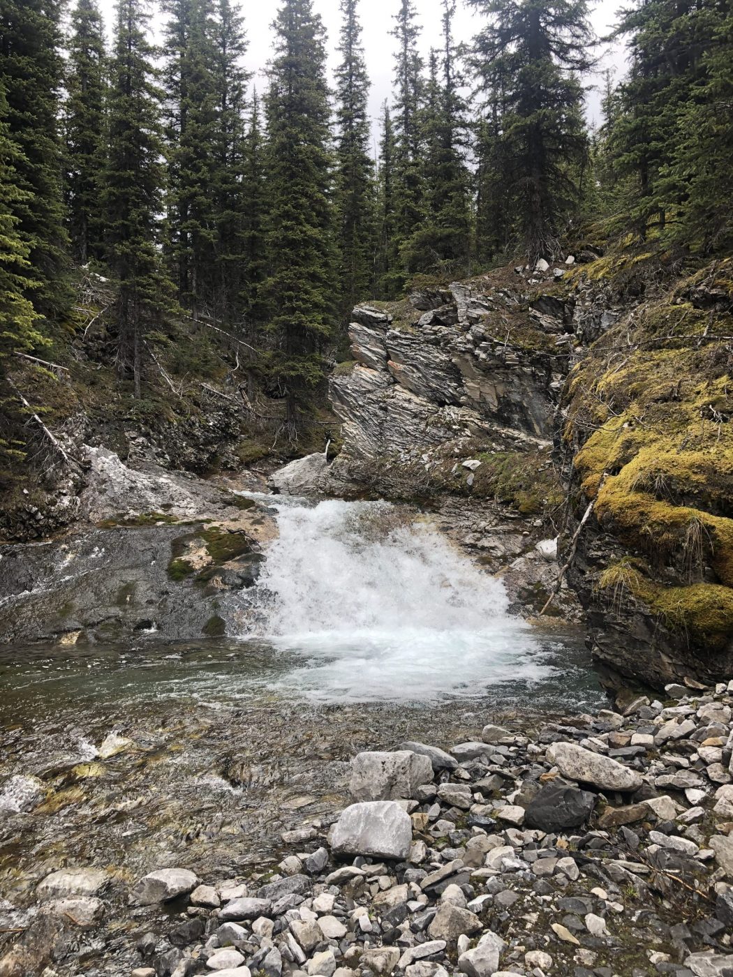
- after you leave the tarn area, which is sometimes dried up, keep an eye out for some nice waterfalls on the left-hand side
- there are views up the valley of Mount Inflexible to the south and Mount James Walker to the north
- the trail/mountain was named in 1959 after Colonel James Walker, who served in the North-West Mounted Police and who was also a soldier, businessman, politician, and civic leader in Calgary and the surrounding rural area