September 24, 2022
In
Outdoor Edventures
Grizzly Col Hike
Where:
- Grizzly Col
When:
- September 24, 2022
Who:
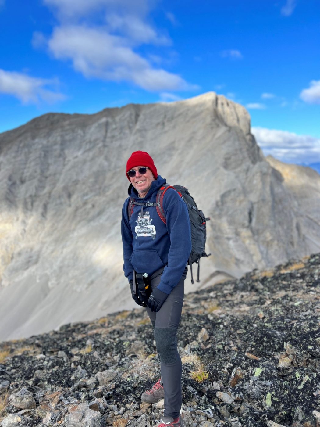
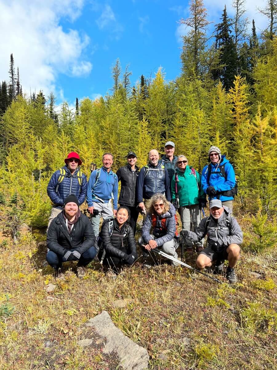
- Ed, Dave, Craig, Erin, Oak, Peter, Lisa, Brandi, Kyle, Colleen, Kent, Roger
Trailhead:
- an hour and a half drive from Calgary (142 km)
- heading south on Highway 40 for 67 km, the Highwood Pass parking lot is on the right-hand side of the road at the summit
Degree of difficulty:
- 680 meters elevation
- 9 km round trip
- the hike took us just over three and a half hours
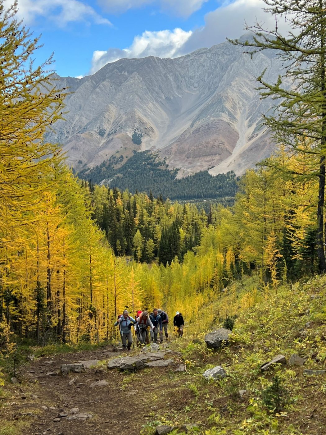
- the first 2 km are moderate in elevation but have some tricky footing
- after the forest where the larch trees are, you turn left, and it starts to climb up steeply to the pass (turning right takes you up to Pocaterra Ridge)
- from the pass, it’s a steep climb on some loose shale to the summit
- it’s 4 km to Grizzly Col and another .8 km to Grizzly Peak
Interesting notes:
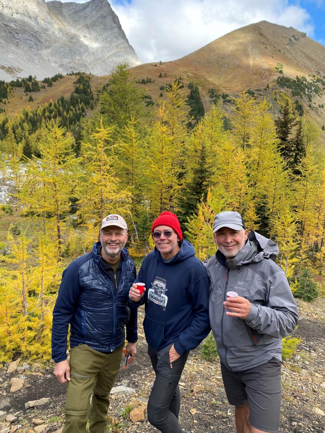
- we did it during larch season, and the trail was packed on the return voyage
- the larch trees were in early bloom but still quite majestic
- for those wanting to just see the larch trees, it’s not a long walk (4 km round trip) to do so
- we did an out and back, but you could go along the ridge and descent to the parking lot, although this route appears to involve a challenging ridge walk
- the trail offers views of Elk Range, the border between Alberta and B.C.
- the Col is the gap between Mount Tyrwhitt (it has a cool hole in the mountain) and Grizzly Ridge