October 20, 2019
In
Outdoor Edventures
Galatea Lakes Hike
Where:
- Galatea Lakes Hike
When:
- October 19, 2019
Who:
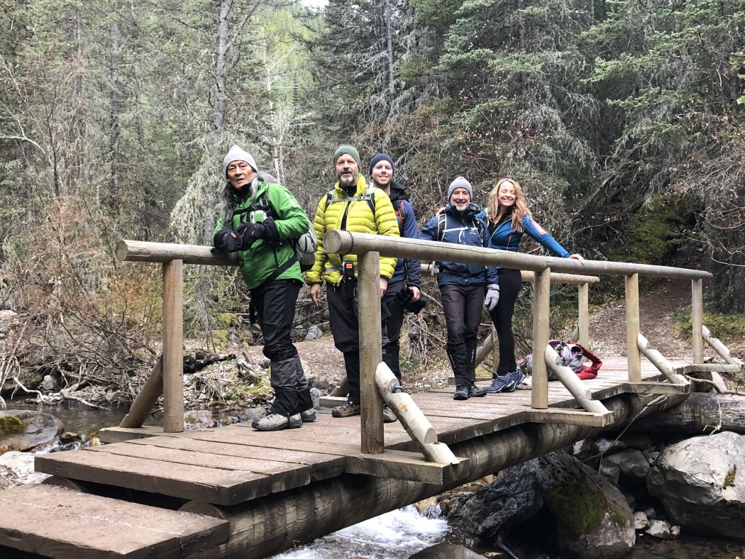
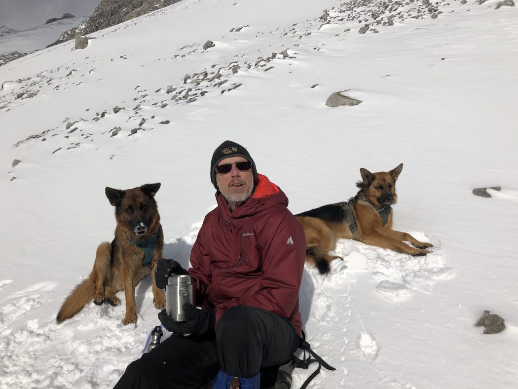
- Ed, Jace, Chris, Finn, Winnie, An, Craig, Evan, Dave, Lorna
Trailhead:
- an little over an hour drive from Calgary and a 45-minute drive from Canmore
- heading south on Highway 40 the parking lot is on the right-hand side about 3 km past the turnoff for the Kananaskis Golf Course
Degree of difficulty:
- 870 meters elevation
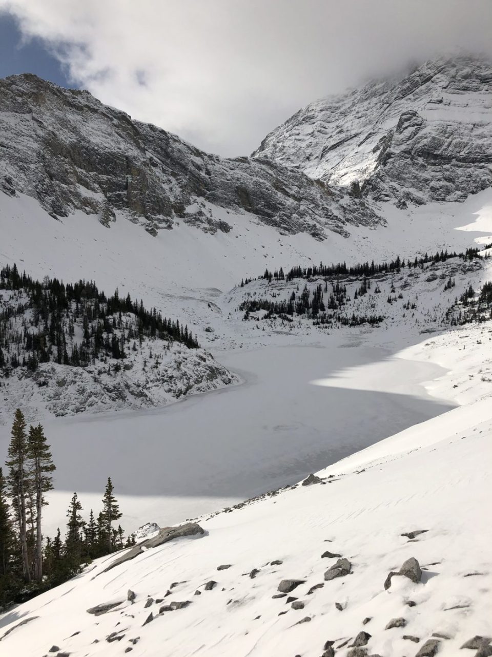
- 17 km round trip to Lower Galatea Lake
- the hike took us five hours
- the first 6 km is a moderate climb until Lillian Lake where the steep ascent starts for the next km
- there was a light dusting of snow on the second half of the climb to Lillian Lake where most of the group used the metal grippers
- there was significant snow from Lillian Lake to Lower Galatea Lake and up to knee-deep in places as you exited the trees at the scree slope before the lake
- this is a moderate hike for most of the way other than the final grunt from Lillian Lake to Lower Galatea Lake
Interesting notes:
- the initial forested part of the trail crosses several bridges along Galatea Creek where you witness the massive destruction from the 2013 flood
- there are some nice waterfalls and pools of water where Dave and Lorna do some bathing when the weather is warmer
- the first lake you come to is Lillian Lake which is quite picturesque
- the trail offers views of Limestone Mountain, Mount Kidd, The Tower, Mount Galatea, and Fortress Ridge
- this trail can also be used to access Lost Lake (no trail marking, so I didn’t see where it cuts off into this trail) and Guinn Pass/Ribbon Lake (the turnoff was moved from near Lillian Lake to just before Lower Galatea Lake)
- there is a campground at Lillian Lake with 17 campsites
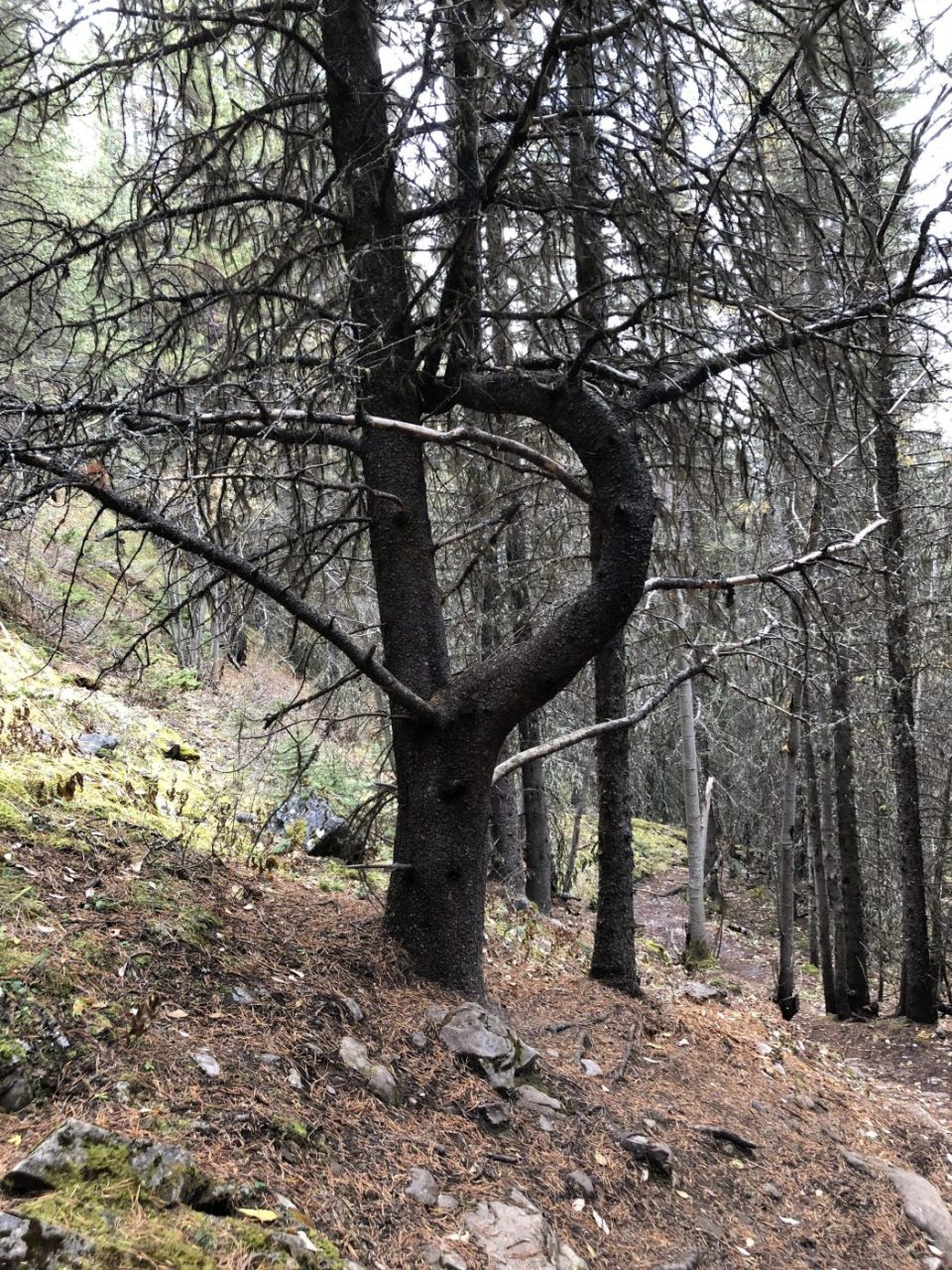
- keep an eye out for the unique letter P shaped tree on your descent near the end of the hike