May 7, 2020
In
Outdoor Edventures
Exshaw Creek Hike
Where:
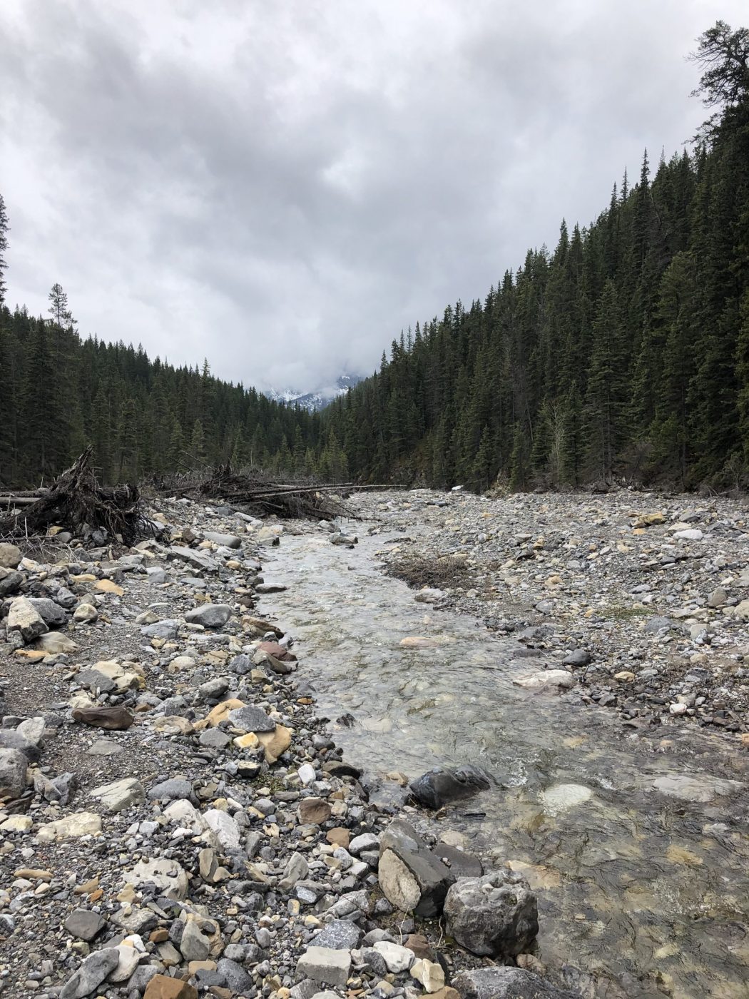
- Exshaw Creek
When:
- May 6, 2020
Who:
- Ed, Jace, Joey
Trailhead:
- 15 minutes east of Canmore on the 1A highway
- on the west side of the bridge at Exshaw Creek turn left (when heading east) onto Mt. Allen Drive and follow it to a parking lot on the right side at the end of the road
- walk back towards the creek and head left until you come to a new bridge that leads you across the creek ravine where you turn left again
- once you get to the trees, you want to take the trail on the left that hugs the creek and eventually drops into the creek as the other trails are for mountain biking
Degree of difficulty:
- very little elevation gain as you are walking along the creek
- we went about 3 km up the creek and then back (6 km total)
- just under two hours total time on the trail
- if you stay inland (we dropped down to the creek) at 2.2 km you can take the path to the right that leads up to Exshaw Pass (steep climb)
- in another 1.1 km, you can take the left fork to head down to the bank of Exshaw Creek
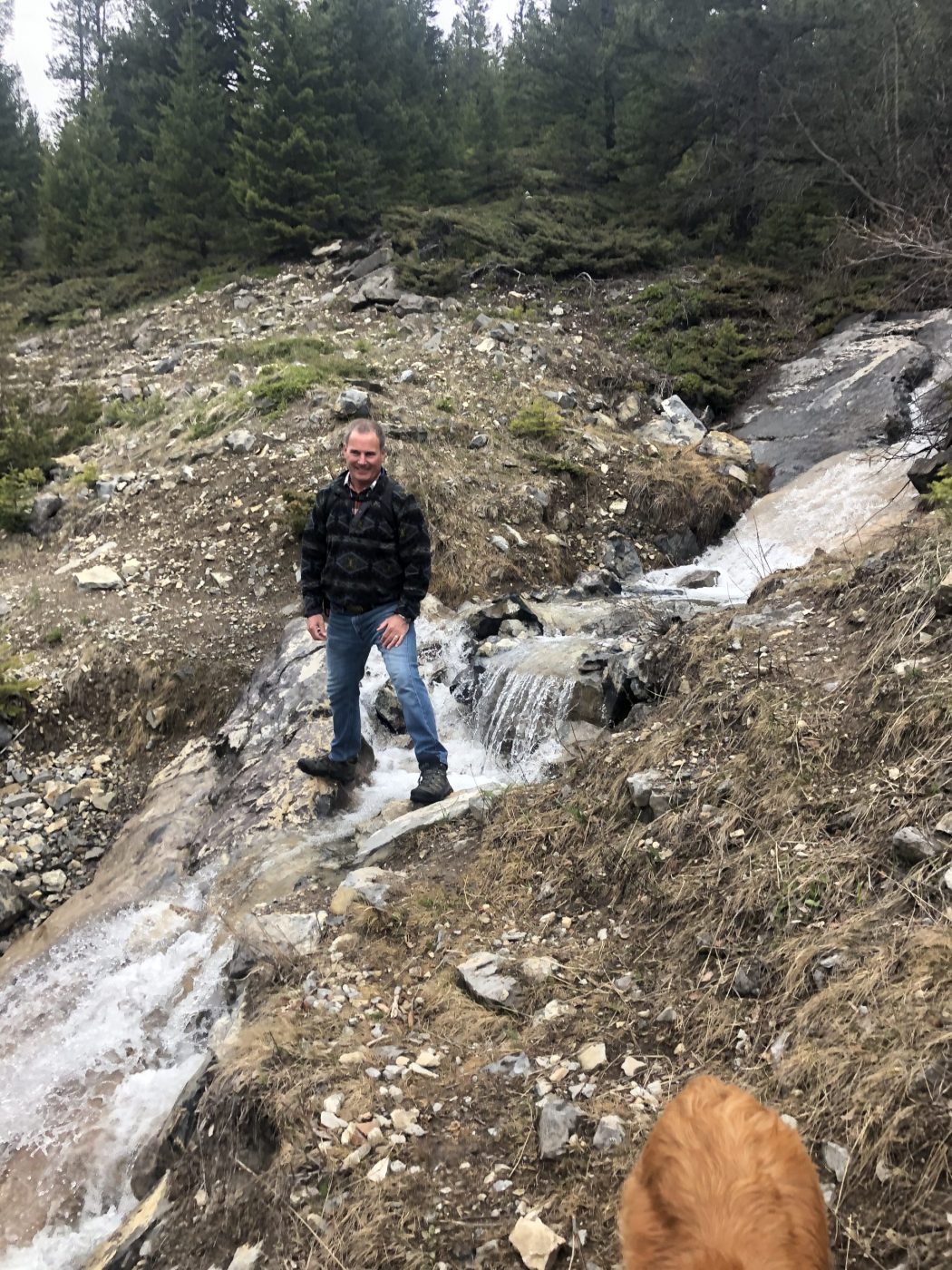
- at this time of year, we had to cross the creek numerous times either by stepping on stones or using trees that people had placed across the creek
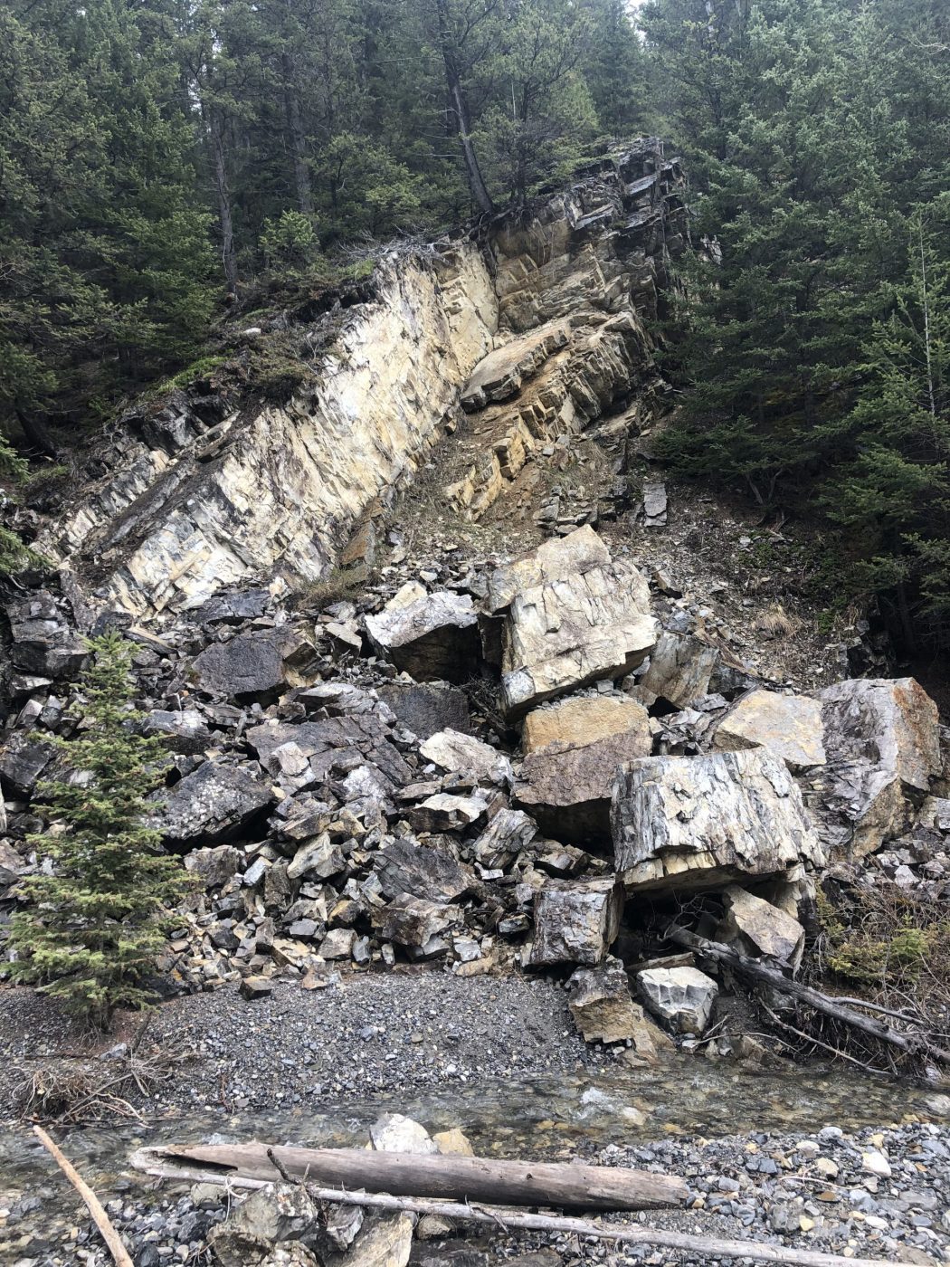
- the hike is a bit challenging due to all the debris that has covered the creek area from the 2013 floods
Interesting notes:
- you could go further up the creek valley into the south end of the Ghost Valley, but we were time-constrained and hence kept to a shorter distance
- the trail intersects the Prospector mountain biking trail, so be careful about bikers
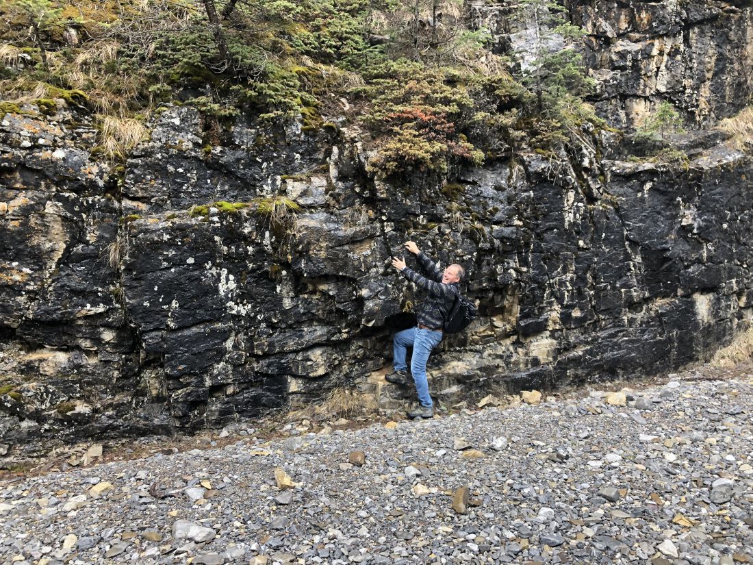
- the valley between Exshaw Mountain and Grotto Mountain has some interesting rock formations
- the valley is quite narrow but offers views across the valley to Heart Mountain, Mount McGillivray, and Pigeon Mountain