June 3, 2019
In
Outdoor Edventures
Cory Pass Hike
Where:
- Cory Pass
When:
- June 1, 2019
Who:
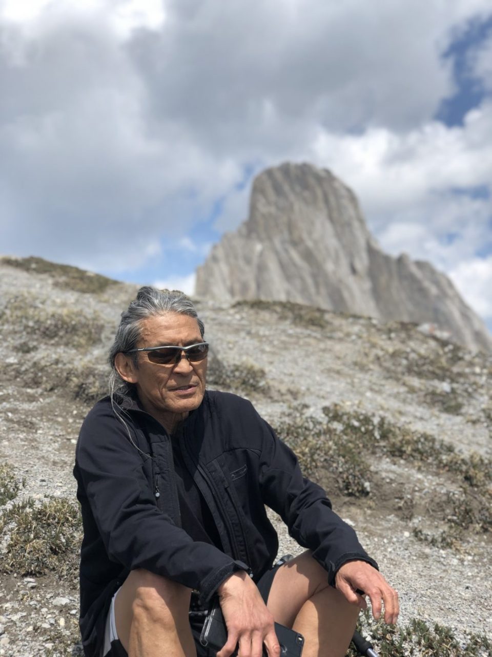
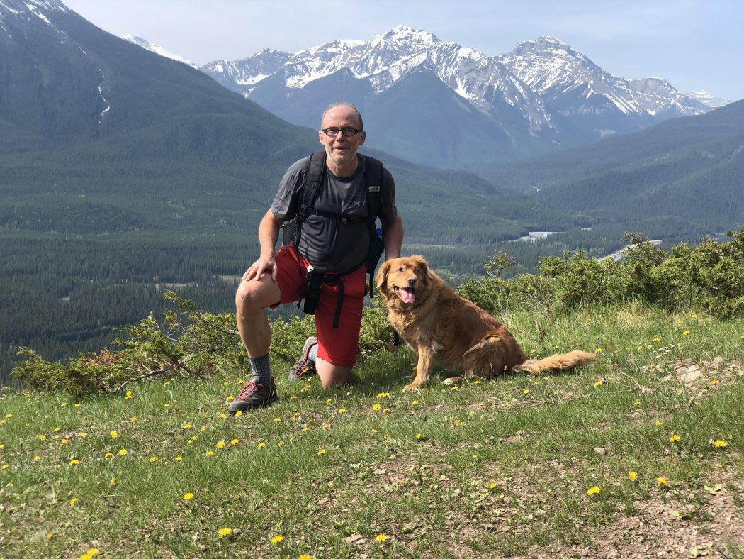
- Ed, Jace, Dave, Geoff, Lynn, Chris, Finn, Winnie, An
Trailhead:
- the trailhead is just 5 km west of Banff as you turn onto Bow Valley (1A) Highway
- right after you turn onto the Parkway turn right and follow the road a km up to the parking lot
- the trailhead is on the north side of the parking lot where it crosses a bridge
Degree of difficulty:
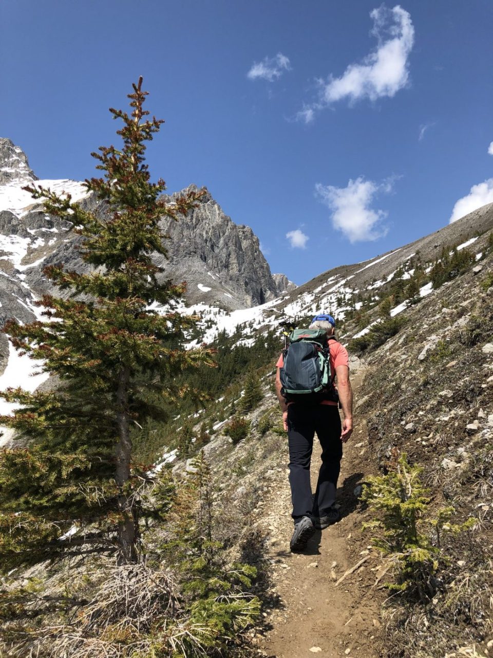
- the trail is very steep on the first half of the ascent and moderately steep on the second half
- there is one tricky scramble on the way up that actual descends for 50 feet
- 915 meters of elevation gain and 15 km distance
- this is one of the toughest trails we do
- on this occasion, we were not able to do the loop around thru the pass and back down the forested valley as there was too much snow on the backside of the pass
- I would recommend waiting until July to hike this trail as coming back the same way you go up is very hard on the joints
Interesting notes:
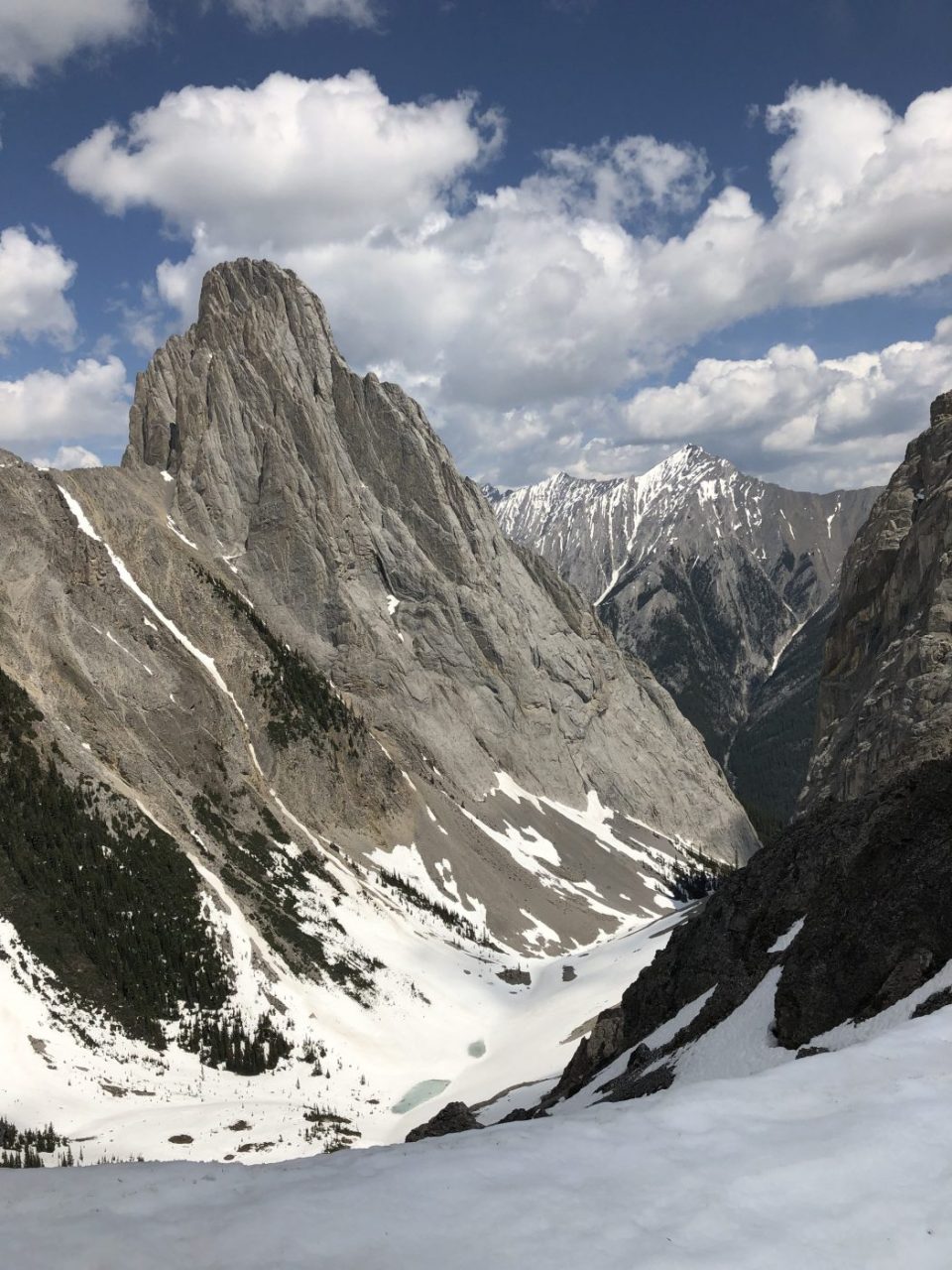
- the top of the pass is beautiful and is located between Mt. Cory and Mt. Edith with Gargoyle Valley in the backdrop
- there are some unique rock structures in the valley, so take your time and take lots of pictures
- there are great views back down the valley towards Vermilion Lakes, Mt. Rundle, and the town of Banff
- the valley on loop descent is between Mt. Cory and Mt. Norquay and is a serene forested area with a few avalanche chutes at the start
- this hike is very accessible and a relatively easy route to follow, but it is not for inexperienced or less than fit hikers