September 20, 2026
In
Outdoor Edventures
Commonwealth Lake
Where:
- Commonwealth Lake
When:
- September 19, 2026
Who:
- Ed, Reggie, Dave, Rod, Dally, Kardy, Angela, Lisa, Peter
Trailhead:
- 40 km from Canmore on the Spray Lakes Road
- park on the road 2.2 km past (south) of the Engadine Lodge/Mt. Shark turnoff
- the trail is on the right (west) side of the road, and you start by going over the guardrail and down a steep but short embankment and then across Engadine meadow
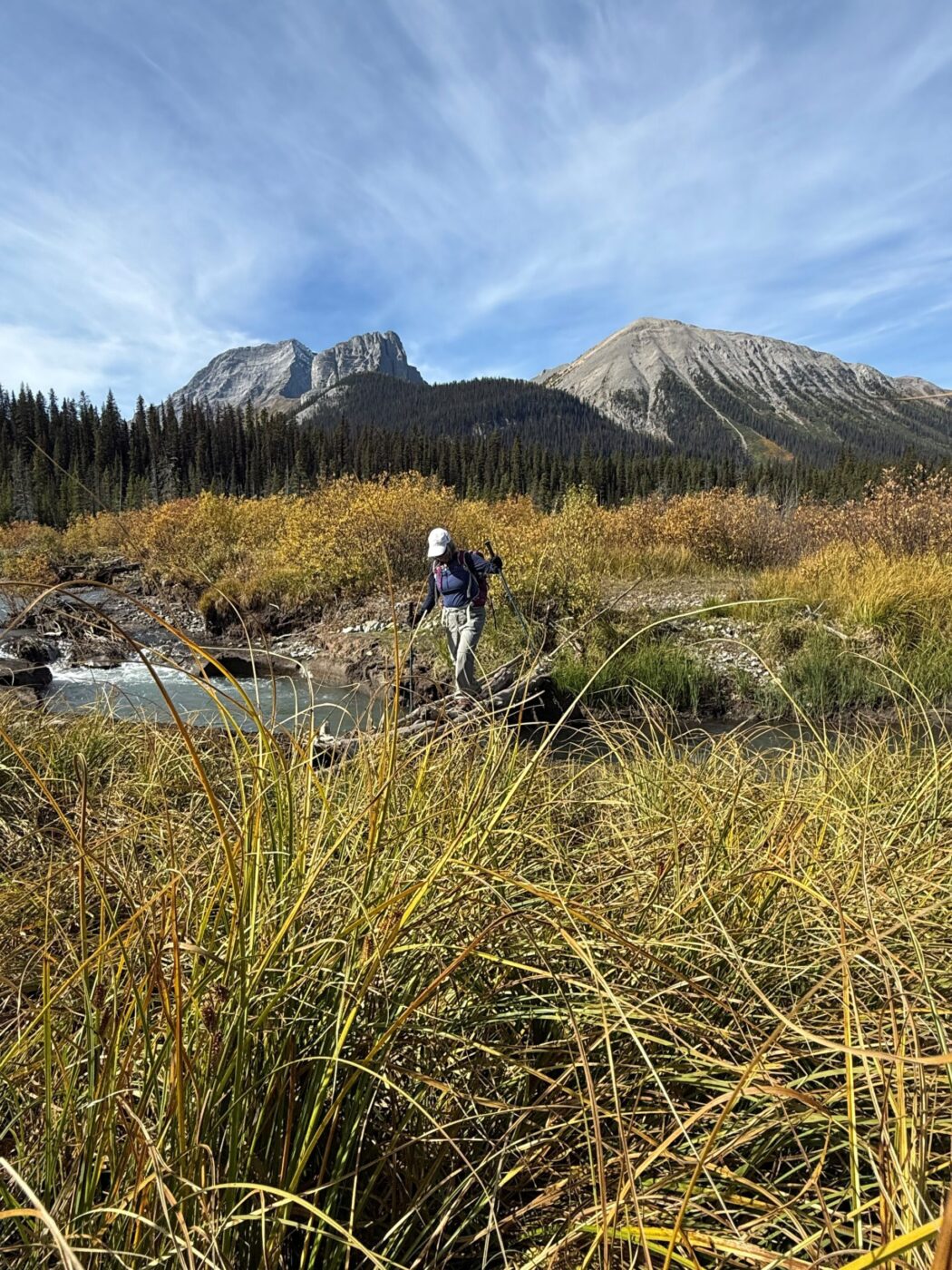
- the creek was still fast flowing and a bit deep, but we found a wobbly log bridge to go across that we all carefully managed to not fall in
- the trail is a bit harder to find in the summer vs the winter through the meadow so look for beat down paths and any stone or flag markings
- once you get into the trees, veer to the right, and you should be able to see the trail marking that leads (left) up into the valley
- at the first junction denoted by a rock pile, turn left up into Commonwealth Valley
- after about another km, take the left-hand turn that takes you uphill through the forest to Commonwealth Lake as the right-hand turn leads up Commonwealth Creek
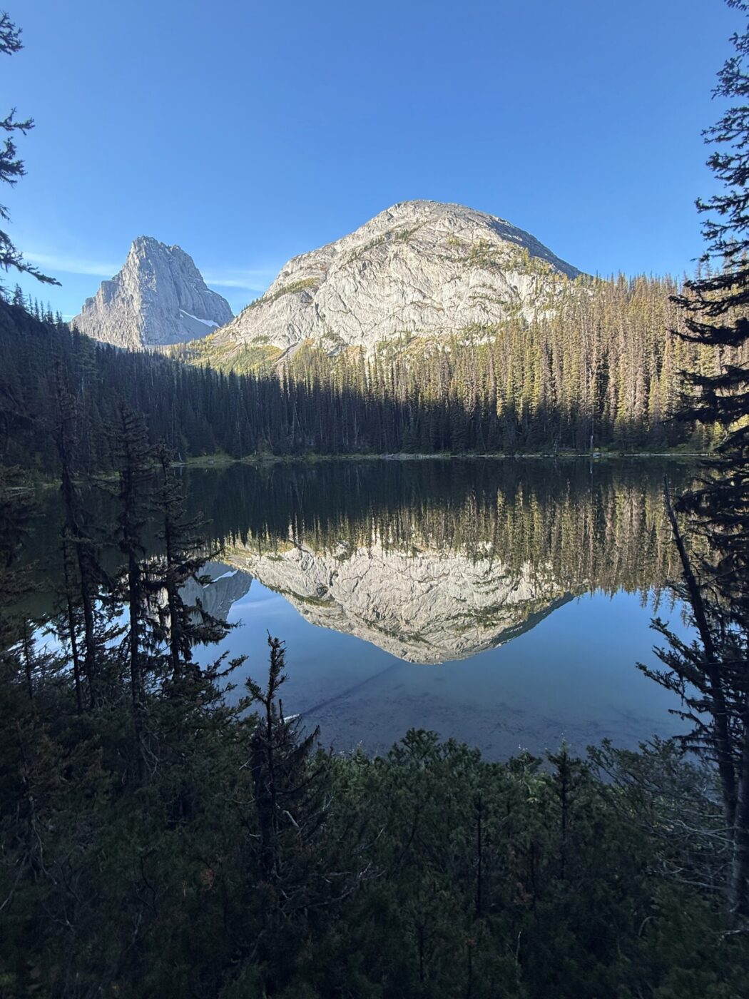
- once you reach the lake follow the trail on the left hand side to the end of the lake and then straight up towards the pass
- it’s often hard to follow so load up your GPS or just plough your way straight up between the rock faces on either side
Degree of difficulty:
- 275 meters elevation to the lake and 450 meters to the place we stopped just before the pass
- 7 km out and back
- the hike took us three and a half hours
- the trail starts gently across a meadow, gradually up thru the cut block, and then gains a bit more elevation along the south side of the creek
- it moves steeply uphill after you start moving away from the creek
- it was very challenging moving up through the valley with lots of logs to go over, under or around and some wet footing
- after the lake it is somewhat steep with some tricky scree footing
Interesting notes:
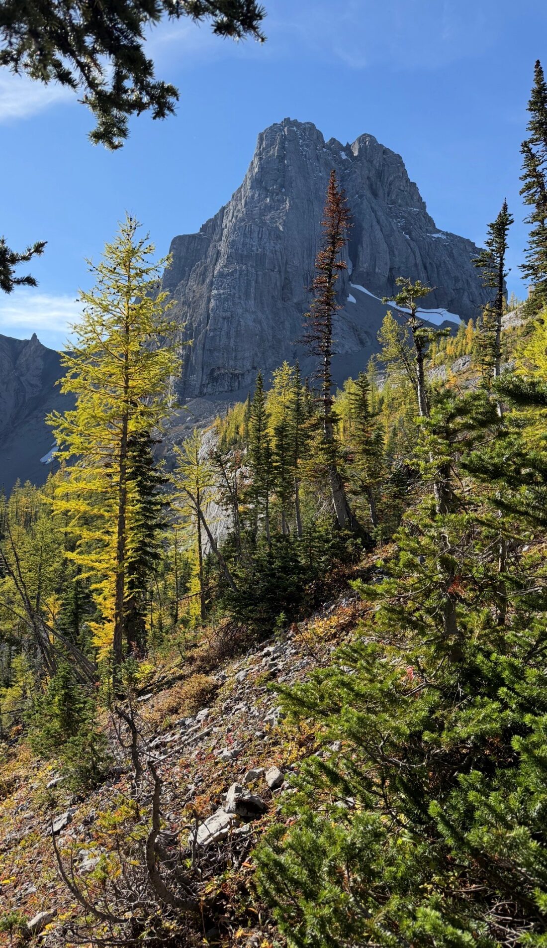
- we were fortunate to pick a larch hike that had nobody on it and had spectacular scenery including the beautiful start of the larch season
- there are some amazing views of Commonwealth Peak, Pig’s Tail, Mount Birdwood, The Fist, and Mount Smuts
- we will go back another time and hike up and onto Commonwealth Ridge as well as make a loop around the ridge to come back into Commonwealth Valley