February 10, 2024
In
Outdoor Edventures
Commonwealth Creek Hike
Where:
- Commonwealth Creek
When:
- February 10, 2024
Who:
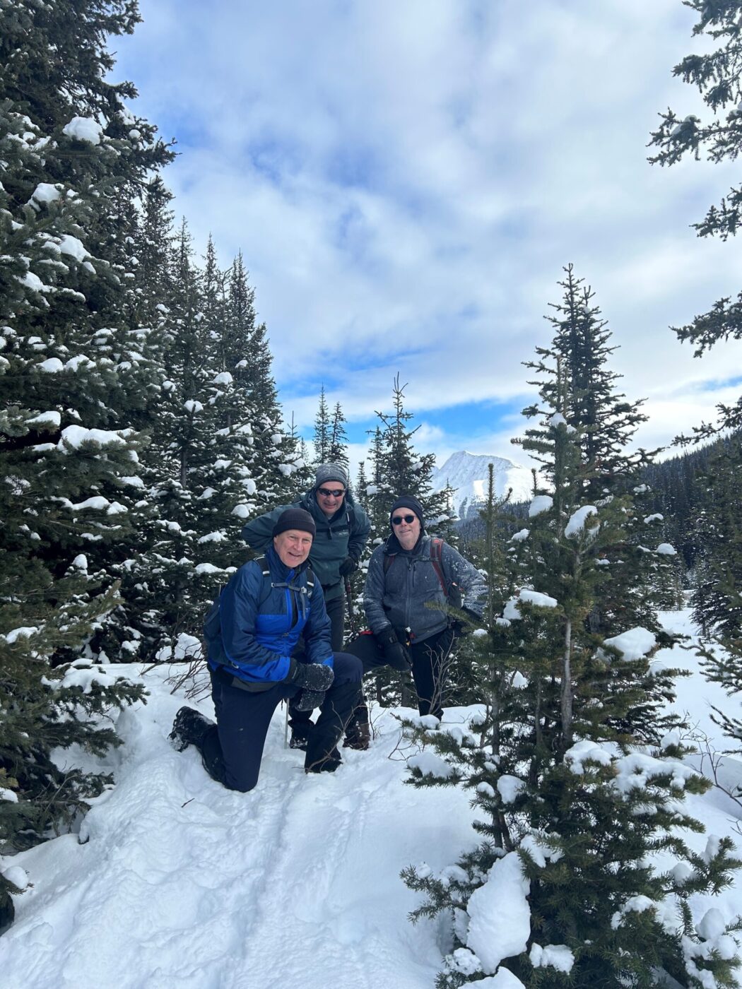
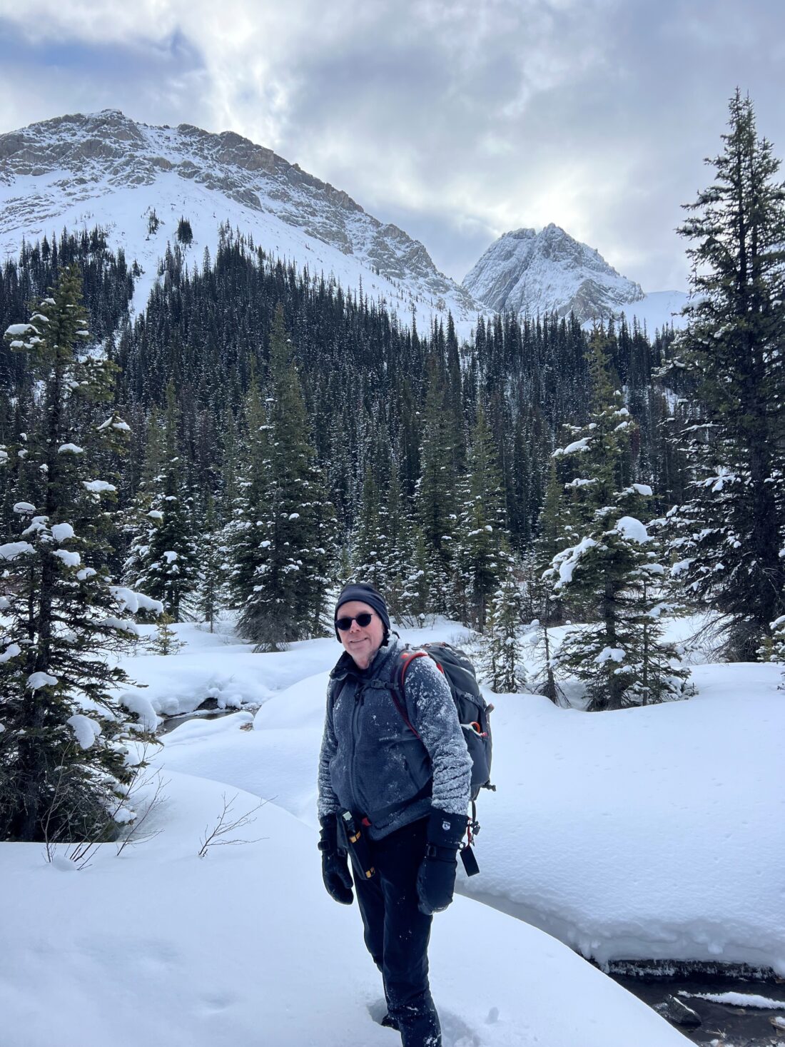
- Ed, Rod, Erin, Gerard
Trailhead:
- 40 km from Canmore on the Spray Lakes Road
- park on the road 2.2 km past (south) of the Engadine Lodge/Mt. Shark turnoff
- the trail is on the right (west) side of the road, and you start by going over the guardrail and down a steep but short embankment and then across Engadine meadow
- hopefully the creek is frozen over, and otherwise, you have to access the trail from the Mt. Shark Road parking lot which is a longer stroll
- once you get into the trees, veer to the right, and you should be able to see the trail markings that lead (left) up into the valley
- at the first junction, turn left
- after about another km, take the right-hand turn that takes you along Commonwealth Creek as the left-hand turn leads up to Commonwealth Lake
Degree of difficulty:
- 250 meters elevation to the end of the valley
- 8 km out and back (we stopped a half km from our usual spot due to deeper snow)
- the hike took our group two hours
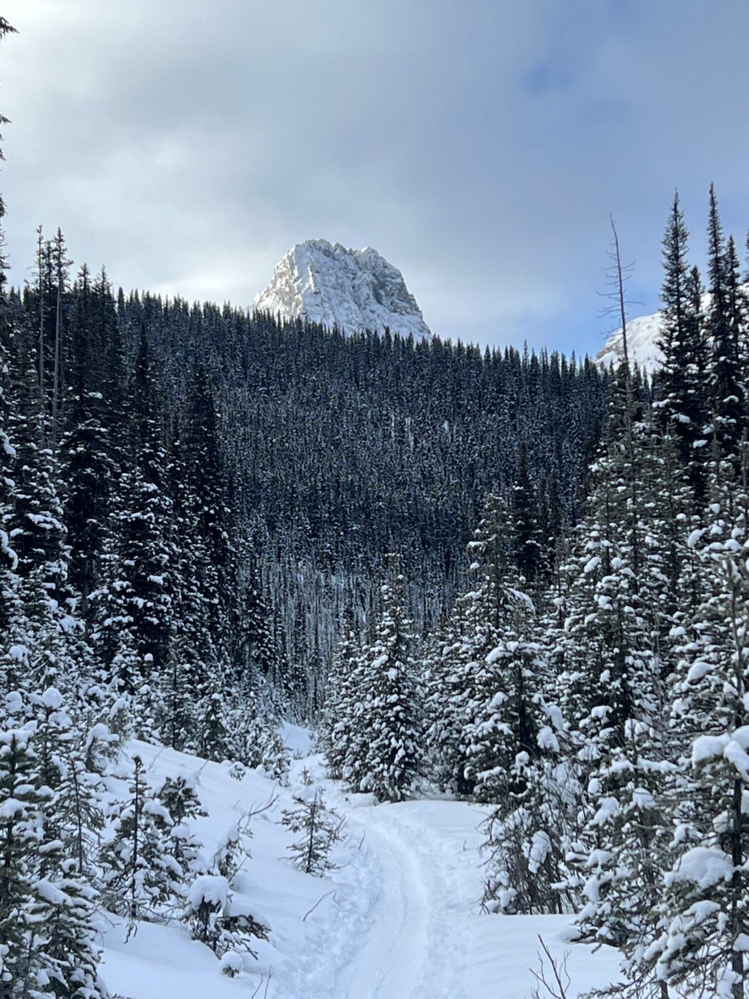
- the trail starts gently across a meadow, gradually up through the cut block, and then gains a bit more elevation along the south side of the creek
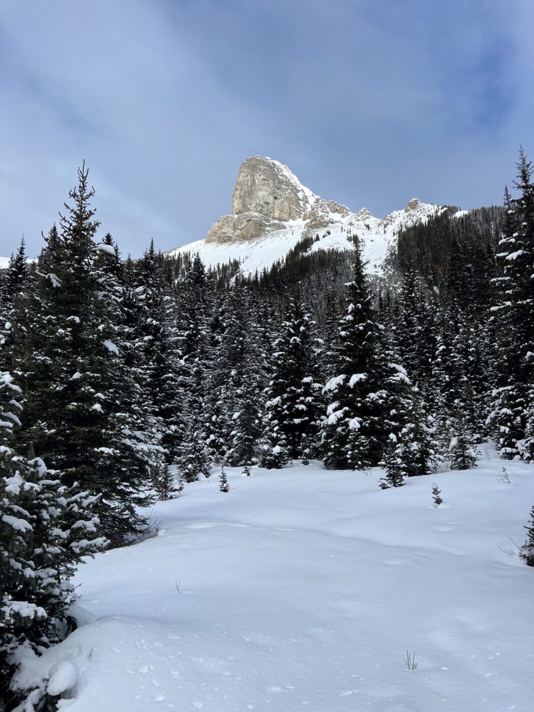
- it flattens out once you exit the trees into the valley
- once you come out of the trees into the open area make sure you stay away from any avalanche shoots and in particular the one near the end of the valley on the right-hand side
- Commonwealth Creek is one of the easiest trails and, hence is suitable for all levels and due to the lack of recent snow, we trudged along without spikes or snowshoes and were okay for the most part until near the end of the upper valley
Interesting notes:
- there are some amazing views of Commonwealth Peak, Pig’s Tail, Mount Birdwood, The Fist, and Mount Smuts
- moose are quite common in the open meadow below the road, so keep an eye out for these huge and majestic animals
- at the end of the valley, there are some small hills that are fun to ‘bumboggan’ or roll down once enough snow accumulates
- an alternate trail is up to Commonwealth Lake, but you have to be careful of avalanches at the far end of the lake during the winter season