September 22, 2019
In
Outdoor Edventures
Chester Lake Hike
Where:
- Chester Lake
When:
- September 21, 2019
Who:
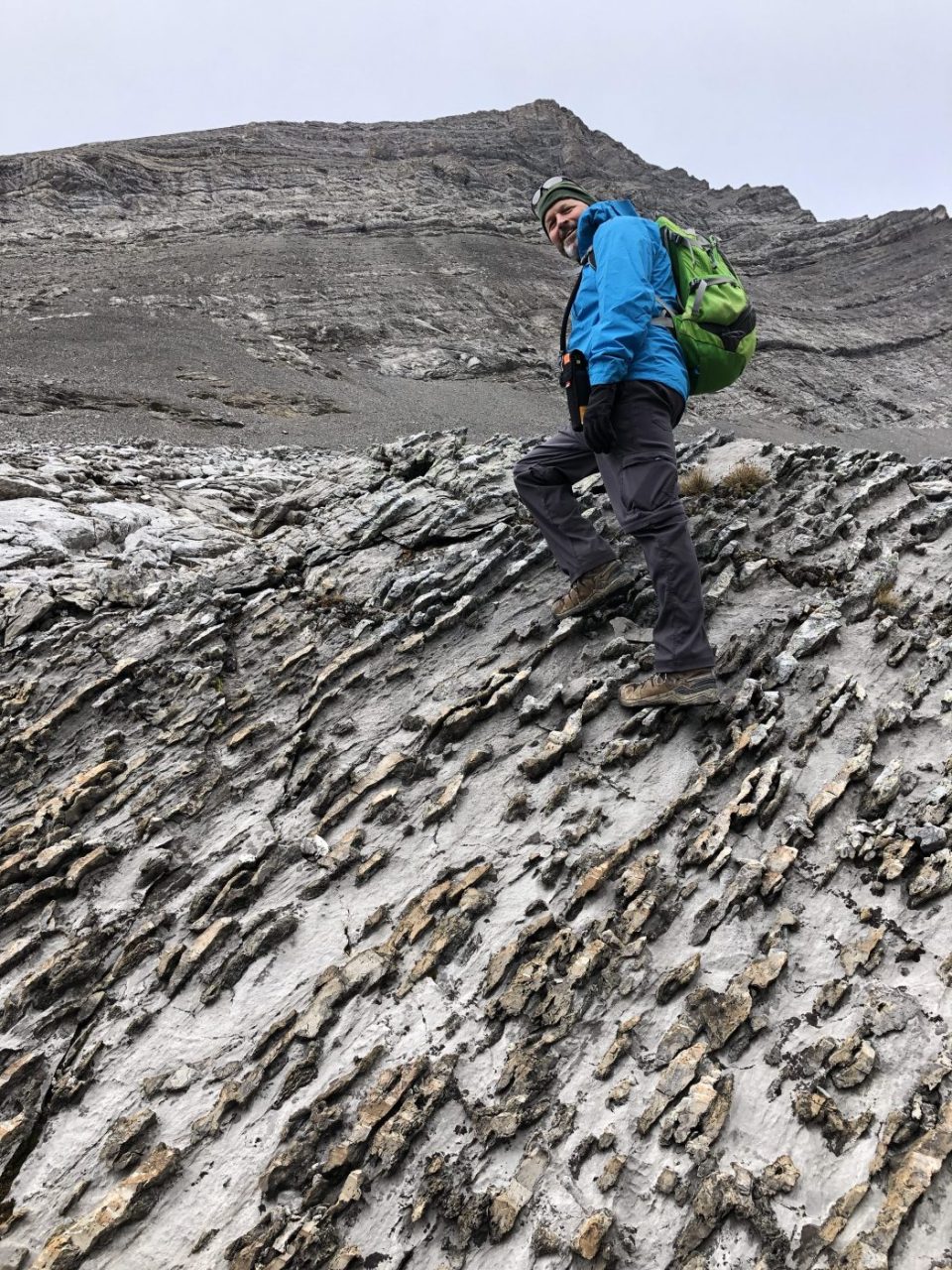
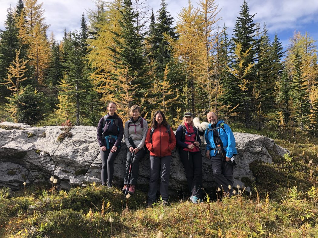
- Ed, Jace, Craig, Darcy, Carly, Stephanie, Ollie, Sinead
Trailhead:
- a 60-minute drive (45 km) up the Smith Dorrien (Spray Lakes) road from Canmore
- turn left (east) into the parking lot which is directly across from the Burstall Pass parking lot
- you can also access it from the Kananaskis Lakes Road
- the trail is at the far end of the parking lot
Degree of difficulty:
- 300 meters elevation to Chester Lake and another 200 meters to the second lake up Three Lakes Valley
- 15 km round trip to the second lake and back
- the hike took us five hours
- we went out and back on the main trail as we had trouble finding the trail exiting Chester Lake for the snowshoe trail which we had intended to take to avoid the massive crowds
- the first 2 km are on a logging road that turns into a hiking trail
- moderate climb most of the way to the lake which only took us an hour
- from the lake to the Elephant Rocks is a 10-15 minute stroll
- the trail from the Elephant Rocks to the second lake took us an hour with several photo breaks
- at the lake, we took the first trail (there are two of them that end up at the same place) on the left-hand side of the lake up to the Elephant Rocks and then beyond to Three Lakes Valley where we ascended to the second lake which is more like a slough
- on the descent we circled around the back of Chester Lake watching people fish and just enjoying the glorious day
- there are a few other options when you reach Chester Lake (go up the scree behind the lake into the upper Chester Valley where you can either enjoy the valley or ascend the pass to the Fortress Mountain Col or descent to Headwall Lakes and loop back to the parking lot which are both long and challenging days)
- this is a moderate trail, and even though we were out for five hours it was a leisurely pace enjoying all the beauty of the area
Interesting notes:
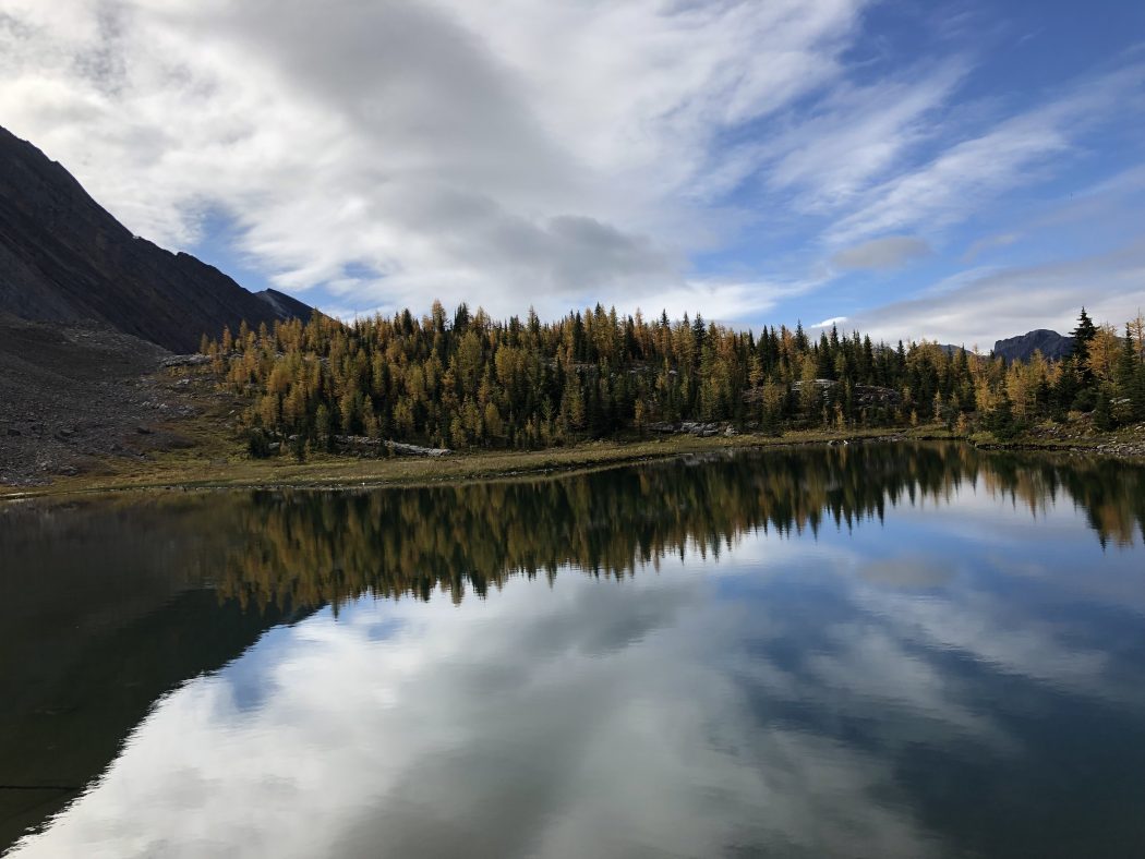
- the initial part of the trail is quite forested, but once you break out of the trees the 360 views are amazing and especially from the Three Lakes Valley
- the views include Mount Chester, Fortress Mountain, Mount Galatea, Mount Burstall, and Commonwealth Peak
- this was the first time we have done this hike during the larch color change, and even though there are better larch areas the combination of all the other sites made it a spectacular day
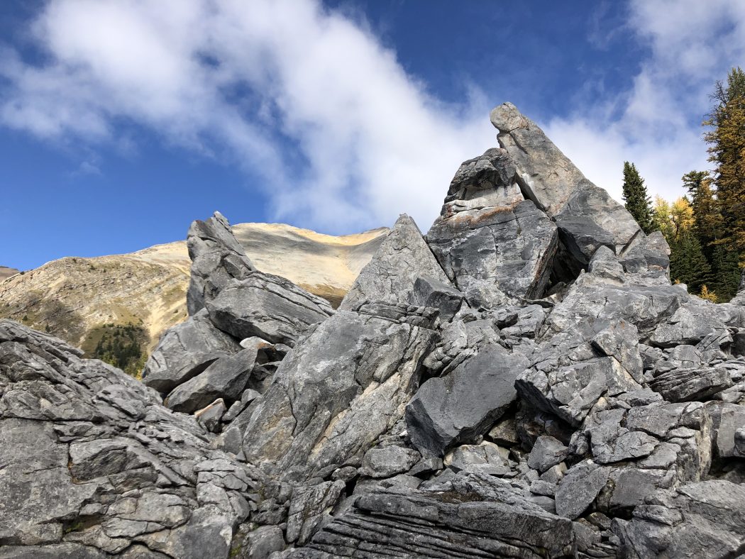
- from the lake, we always head up to the Elephant Rocks which is where we spread my lifelong friend Bing’s ashes a few years ago, so it’s good to drop in on him
- most people are not aware of these Elephant Rocks, and it is one of the most unique and majestic sites in the Bow Valley
- as well most people don’t know about the Three Lakes Valley which is like being on the moon with rocks blanketing the entire valley
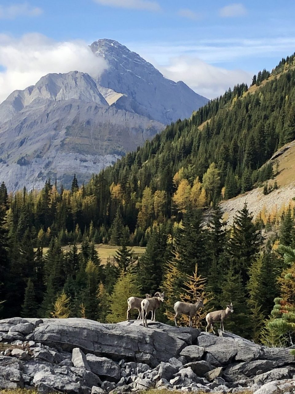
- on our way out of the upper valley, we encountered four mountain sheep right in front of us that were not intimidated by our presence, so we had some glorious photo opportunities including one of the sheep devouring a larch tree
- the other unique feature on this trail is the fields of small ‘hummock’ mounds which can be found as you break out of the trees on the ascent to the lake and near the Elephant Rocks