February 24, 2019
In
Outdoor Edventures
Buller Pass Snowshoe
Where:
- Buller Pass
When:
- February 23, 2019
Who:
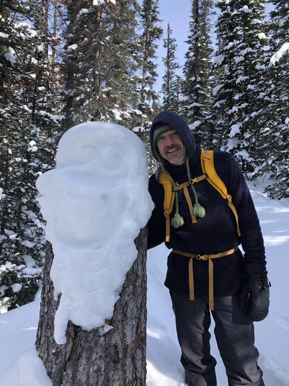
- Ed, Craig, Ian, Lisa, Dave, Lorna, Geoff, Lynn
Trailhead:
- take the Spray Lakes (Smith Dorrien) road south from Canmore for 32 km
- turn right into the Buller Mountain Day Use area and park right off the road without going into the day use area
- the trail is straight across the road
Degree of difficulty:
- we generally go to the base of the east end of the Buller Mountain range which is about 5 km (10 km round trip)
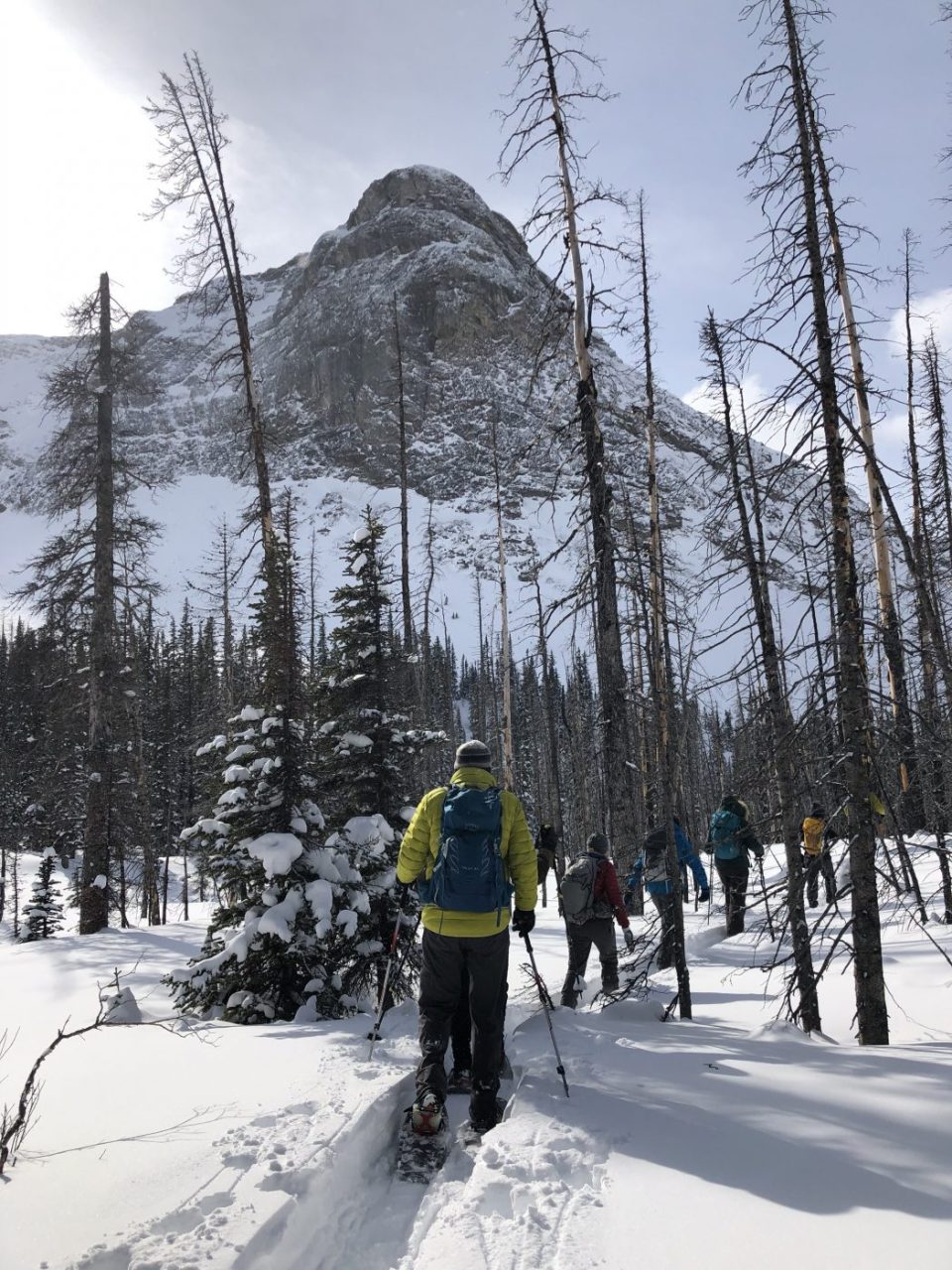
- in the winter you have to be cognizant of avalanche shoots as you make your way up the valley (initially on your left-hand side and then on the right-hand side of the valley after the last climb noted below)
- the trail starts out rolling gently thru the trees until you get to a bridge where it intersects with the High Rockies trail
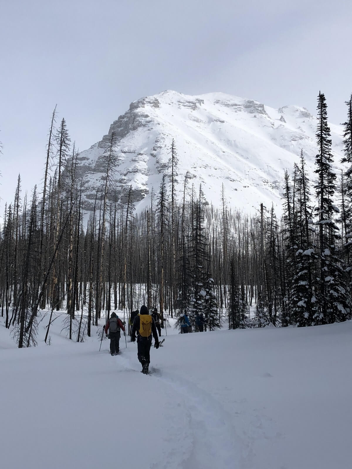
- at this point, you turn right and start a gentle uphill climb thru the valley with majestic views of Mt. Engadine to the south and Mt. Buller to the north and east
- the footing can be tricky from this point for a few km’s as you are on the side of the mountain
- there is a second steeper climb just before you reach the south end of the Buller Mountain range that takes about 20 minutes before you reach the base of the valley
- it took us 3 hours round trip at a leisurely pace and with a 15 minute stop for lunch
Interesting notes:
- as with a lot of snowshoe trails, it can be challenging to find the trail if it has recently snowed or if the wind has blown the snow over the trail
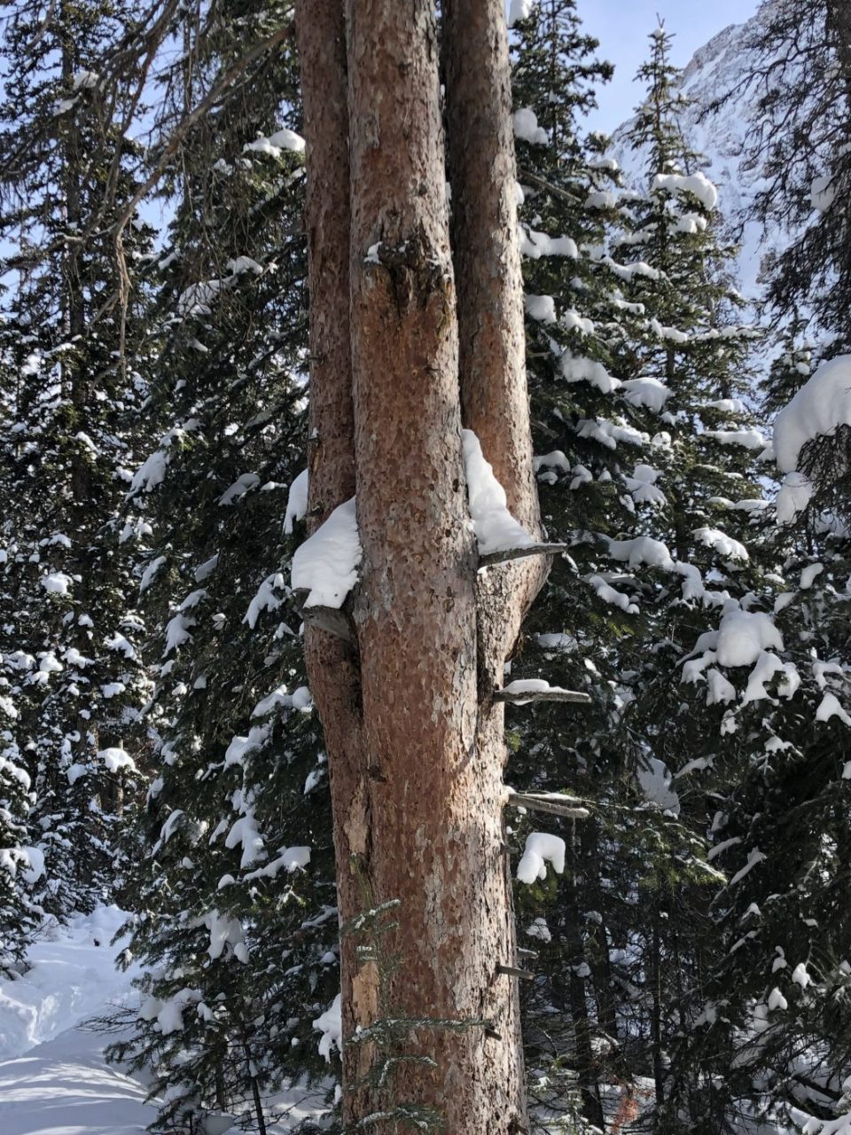
- this trail has some unique tree features including burnt tree patches (pine beetle control), trees with multiple trunks, trees with holes in them, tree stumps, and some cut out trees stumps
- in the summertime, we enjoy making the steep grunt up to Buller Pass and then continuing in a counterclockwise direction around Buller Mountain back to the main trail
- the distance we did would be considered a moderate outing suitable for most people